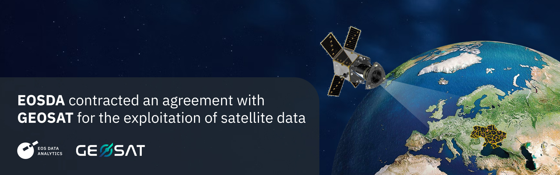
EOS Data Analytics (EOSDA), a global provider of AI-powered satellite imagery analytics, has established an agreement with GEOSAT, a European EO satellite operator, for developing and delivering EO products in Ukraine and other regions of the World.
Through the partnership with GEOSAT, EOSDA will provide Imagery and EO services in Ukraine and other regions of the World, to add value to market verticals such as Agriculture, Forestry or Natural resources exploration; and support activities including adaptation to climate change, security and emergency management.
GEOSAT will provide its experience and capabilities to deliver up to date imagery, to be processed and analyzed with EOSDA, to achieve state-of-the-art information products.
High-quality satellite imagery and data from GEOSAT will allow for new capabilities to enhance environmental activities and the development of industries in Ukraine and globally, utilizing satellite-driven analytics in their operations to enhance economic and social conditions in the long term.
About GEOSAT
GEOSAT is an Earth Observation company delivering imagery and information products from proprietary and partner satellites. Targeted at customer centricity, agility and flexibility, GEOSAT provides its customers around the World with tailored solutions based on high-quality imagery.
About the author:
Rim Elijah holds a double degree in business administration and political science from Stockholm University. As a VP of Sales at EOSDA, she oversees all aspects of business model development and implementation and the growth of the company’s global coverage. She has successfully established a number of strategic partnerships with an emphasis on sustainable solutions in Africa and Asia.
More news
Summit Agro Chile Partners With EOS Data Analytics
EOSDA announces a partnership with a Chilean-based international input seller, Summit Agro, to visualize vegetative changes in local crops in connection with climatic and environmental conditions.
EOS Data Analytics Partners With Quantum Solutions
Together, EOS Data Analytics and Quantum Solutions will bring advanced satellite technology to Central African agriculture, focusing on improving productivity and sustainability in the region.
Argentinian Tecnosustrato Is Partnering With EOSDA
EOS Data Analytics and Tecnosustrato form a partnership to strengthen the latter’s products and services with satellite technology and remote sensing tools, including EOSDA Crop Monitoring.