Forestry
Follow what is happening in your forests between site visits. Our satellite-driven solutions help teams detect change, evaluate risks, and prioritize interventions across wide and hard-to-access areas.
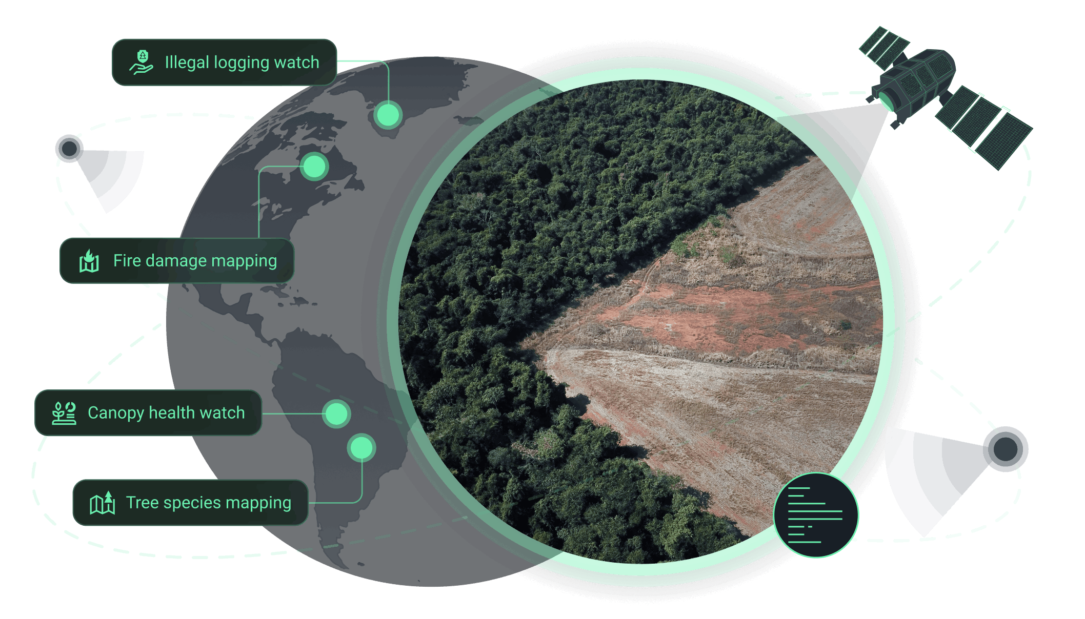
How we support forestry operations
Core benefit:
Stay informed on forest loss, recovery, and disturbance across AOIs.
Core benefit:
Support enforcement actions with alerts on suspicious clearing or access tracks.
Core benefit:
Understand fire impact and plan recovery with burned area and severity analysis.
Core benefit:
Ensure recovery success by measuring restoration progress and survival trends.
Core benefit:
Detect forest stress early to prevent visible forest decline.
Core benefit:
Improve planning, risk, restoration decisions with tree species classification.
Our solutions tailored to forestry needs

Forest cover detection
High‑accuracy forest cover change detection powered by multi-sensor satellite data. Scale your forest monitoring effortlessly, gain insights for ESG compliance, and make smarter operational decisions.
Deforestation detection
Satellite intelligence reveals deforestation as it happens. Stay ahead of threats, ensure regulatory compliance, and make data-driven decisions for sustainable forest management.
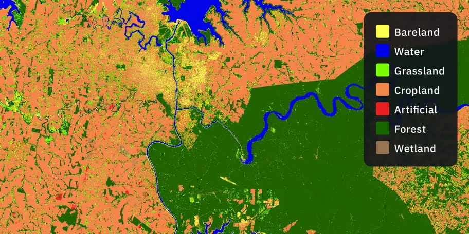
Land cover classification
Classify land efficiently using multi-spectral satellite data and machine learning models. Get ready-to-use maps, area statistics, and insights for better planning decisions.
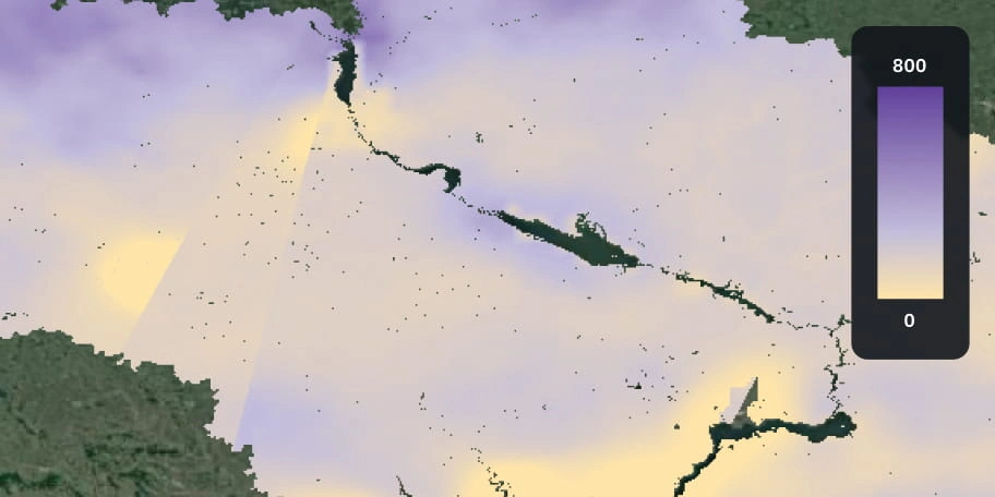
Soil moisture analysis
Track soil moisture across your lands using satellite data to avoid drought stress and prevent wildfires. Access ready-to-use maps and historical trends to make informed, timely decisions.
The outputs we deliver
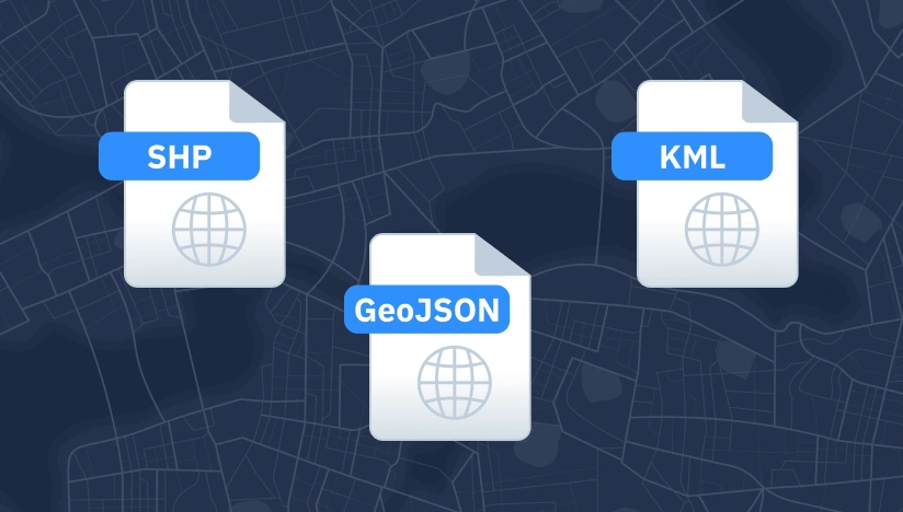
Original data layers
Receive GEOJSON / KML / SHP datasets and upload them wherever you want.
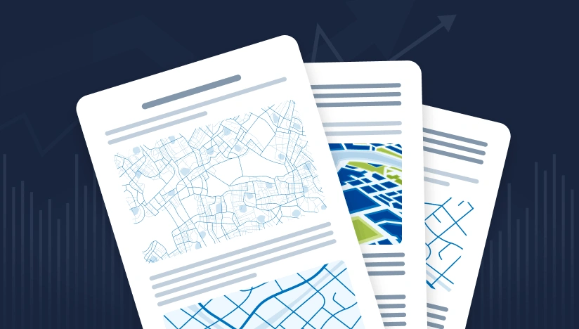
Decision-ready PDF report
Actionable report summarizing key findings for rapid response and easy sharing.
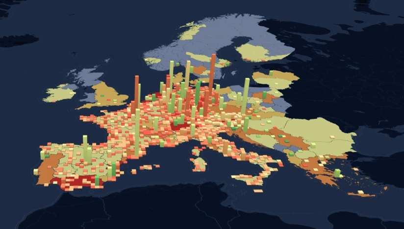
Interactive smart map
Cloud-based interactive map with 3D view for clear visualization and spatial analysis.
Featured case study
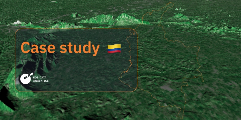
EOSDA analyzes forest and land use for Legado Green in Colombia
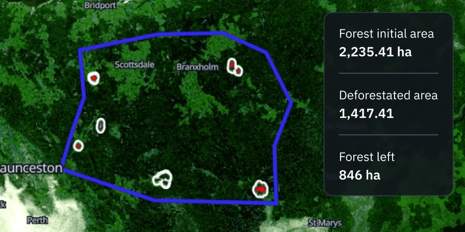
Forest cover change detection in Tasmania
Why choose EOSDA for forest monitoring
Delivery that fits operations
Outputs arrive as data layers, interactive maps, and KPI-based reports ready for operational use.
Reliable outputs every time
Built-in validation workflows minimize manual fixes and keep results consistent across areas.
Deploy fast, scale anywhere
Rapid deployment is enabled by reusable ML components and pipelines designed for seamless scaling.
Insights instead of raw layers
Receive alerts, metrics, and detected changes instead of raw data requiring manual interpretation.
Spot changes against a clear baseline
Changes are detected against an established AOI baseline for accurate comparison over time.
Clear view no matter the visibility
Optical, SAR, or hybrid monitoring provides reliable coverage regardless of weather conditions.