Stay up to date with EOS Data Analytics company news
A global provider of AI-powered satellite imagery analytics
Founded in 2015
Founded by Max Polyakov, the company operates worldwide, partnering with commercial, and scientific organizations.
Solutions for 22 industries
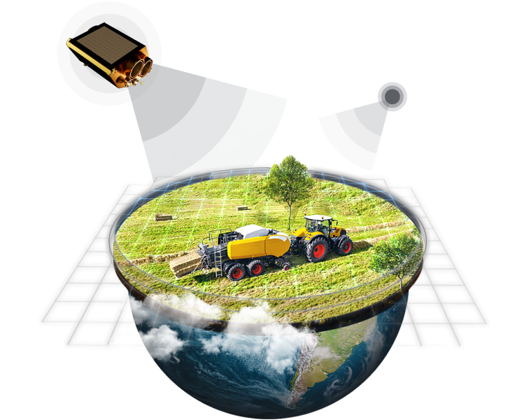
The company's Earth observation solutions can be applied in 22 industries, including agriculture, forestry, and alternative energy.
1.1M users across the world
The company provides geospatial solutions for over 1.1M users around the globe, from the United States to Australia.
EOSDA Crop Monitoring
An online satellite field monitoring service that allows users to access all the important information about the state of crops in one place.
EOSDA Forest Monitoring
An online satellite-based software for convenient and sustainable forest land management.
EOSDA LandViewer
Satellite observation imagery tool for on-the-fly searching, processing, and getting insights from satellite data to tackle real business challenges.
Company Announcements
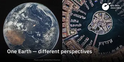
From the Moon mission to practical Earth solutions
Space technology allows us to look further than ever before, but its value is twofold: as the NASA Moon mission explores new frontiers, we use that same vantage point to solve Earth problems.

EOSDA to Monitor Wildfires in Portugal Using Satellite Data Under ESA’s InCubed Programme
The company signed a contract with ESA to create an innovative satellite-based solution for forest monitoring and wildfire prevention.
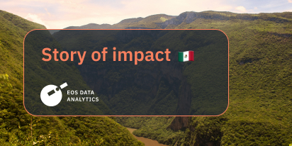
Agriculture In Chiapas Takes Regenerative Path Forward
With over 30% of the nation's agricultural output, Chiapas, Mexico faces challenges from outdated practices. Learn how regenerative methods are paving a sustainable future for the region.
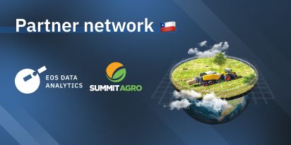
Summit Agro Chile Partners With EOS Data Analytics
EOSDA announces a partnership with a Chilean-based international input seller, Summit Agro, to visualize vegetative changes in local crops in connection with climatic and environmental conditions.
Life After Kakhovka Dam Destruction: A New Beginning
The dam’s destruction flooded numerous villages and farmlands, but as the water receded, nature began to restore itself in the area known as the Great Meadow.
In the News

Why The Sattech Market Is Poised To Dominate Many Sectors
The satellite technology market presents several challenges and opportunities, but it isn't just for rocket scientists – it's also fertile ground for entrepreneurs looking to innovate.
The Power Of Satellite Data In Revolutionizing Agriculture
Alexander Kravchenko, Deputy CPO at EOS Data Analytics, shared how satellite imagery is revolutionizing practices across 20+ verticals, particularly in the fields of agriculture and forestry.
Revolutionizing Agriculture With Satellite Constellations
Lidiia Lelechenko, Account Executive at EOS Data Analytics, shares insights from her experience in SaaS solutions and viticulture.
How Space Technologies Change Our Perception Of Earth
We are to push the boundaries of our perception and embrace the next frontier, for the exploration of space is not just a tech achievement but also a means for economic growth, social progress, and environmental protection.
EOS Data Analytics And SETS Demonstrate Technology In Orbit
EOS Data Analytics is acquiring imagery from the first satellite in the Silicon Valley company’s agriculture-focused constellation.
Data And Our Future: EOSDA
This episode explores the use of data from a global perspective through the eyes of EOS Data Analytics, a global provider of AI-powered satellite imagery analytics.
Four Challenges Western Businesses May Face When Entering The African Market
Given the specifics of the business, economic and political environments, the African go-to-market demands meticulous and in-depth preparation.
How A Satellite Constellation In Space Could Help Save The Planet
The company’s CMO Vera Petryk joins Corinna Bellizzi to discuss how their low-orbit technology helps in accurate monitoring of agriculture and forestry, vastly improving farming practices and minimizing forest fires.

E. 40 - Aleksandr Kravchenko: United By An Idea
"A startup is a group of people united by an idea, not just striving to follow the rules and grow and get paid a salary. This is actually where unicorns are born," says Aleksandr Kravchenko from EOS Data Analytics in the podcast episode.
How New-Generation Satellites Help Reach Food Sustainability On Earth
An interview with Vera Petryk, CMO at EOS Data Analytics, on the launch of its first agro-oriented satellite.
Using Satellite Data To Preserve The Planet
EOSDA uses satellite data to answer critical sustainability questions and provides unprecedented clarity for the agricultural industry.

The Future Of Farming With Lina Yarysh
During this episode, Lina Yarysh, Head of Customer Success at EOSDA, talked about how satellites and AI can revolutionize the agricultural industry.
Geospatial Data With Oleksandr Dzhevaga
Oleksandr Dzhevaga, Account Executive at EOSDA, discusses agriculture and geospatial data.
Satellite Tech: Operations Booster For UK Agribusinesses
EOSDA simplifies farm management with the EOSDA Crop Monitoring precision agriculture platform and agritech custom solutions.
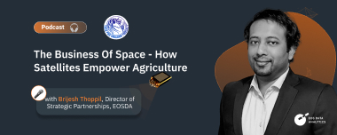
The Business Of Space: How Do Satellites Empower Agriculture?
EOSDA's Brijesh Thoppil discusses EOS SAT, the first agri-focused satellite constellation among companies utilizing remote sensing technologies.
Let's get to know each other
Contact us: