Space infrastructure
On-the-go analytics backed by own satellite data
A satellite ecosystem is part of a life-long quest to bring the opportunities of Space to Earth, empowering humanity to build a better, more sustainable future.
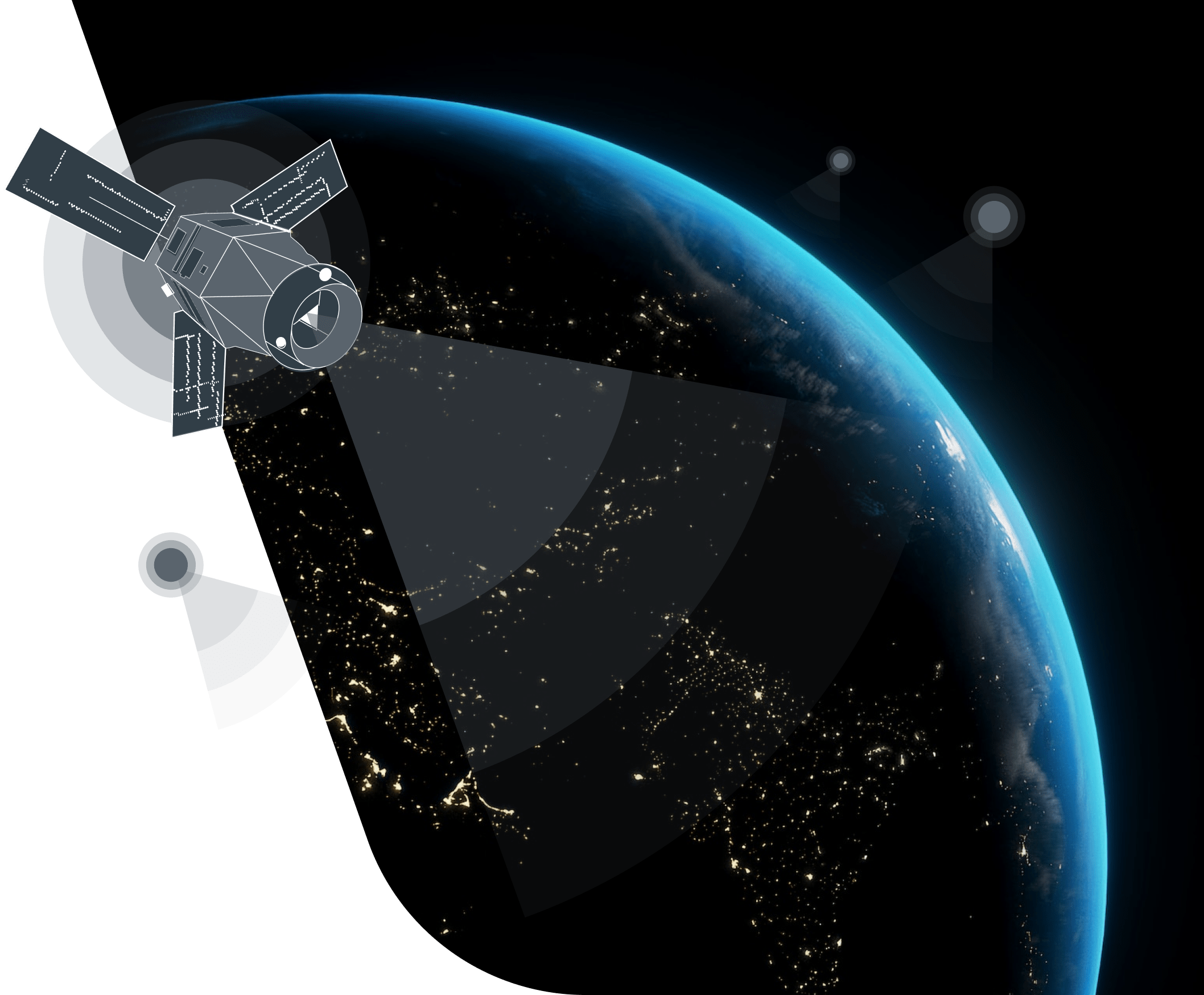
Establishing our own satellite constellation to provide our customers with high-quality data
EOS SAT
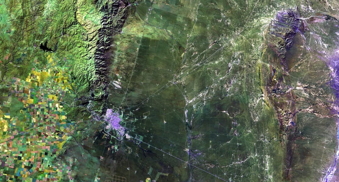
Around-the-clock spatial data updates for multiple industries: mining, oil & gas, agriculture, forestry, construction communications, transport and more- Satellite infrastructure for precise monitoring and timely change detection
- 7 optical imaging satellites for modeling vegetation maps and assessing specific vegetation parameters
- Sun-synchronous orbits with a 3-day revisit to get information from any part of the planet
- Target area revisit within every 24 hours, on demand
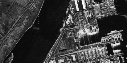
Optical and SAR satellites operate in tandem to provide detailed spatial data
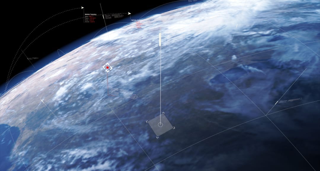
EOS SAR
In the satellite industry, the prime focus is turned to small satellites with synthetic aperture radar (SAR) payloads. These radars use advanced technologies to penetrate upper atmosphere interference, cloud cover, and foliage, compensating for the downsides of purely optical imagery. As a result, SAR provides high-resolution images of the Earth's surface even if the target area is obscured.
Open up the World of Satellite Technologies
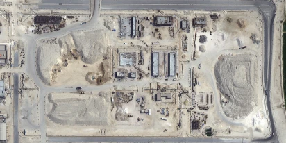
Construction site monitoring: The guide to remote progress tracking with satellite images
From cameras and drones to satellites: a practical look at how construction site monitoring works, where each tool shines, and what a remote, orbital view actually adds.
SAR imagery: How synthetic aperture radar technology works
Want to monitor assets without weather delays? Learn how SAR imagery captures soil moisture, floods, and structural shifts through clouds and smoke for your monitoring projects.

Optical satellite imagery: Getting insights from space
Ground inspections can be slow and expensive. Discover how commercial optical satellite imagery simplifies remote site monitoring and supports daily operational decisions.
Keep up with the latest EOSDA news
To find out more about the company’s news and not to miss the latest announcements, as well as download media kits, visit the EOS Data Analytics newsroom.