Articles on remote sensing technologies & their applications
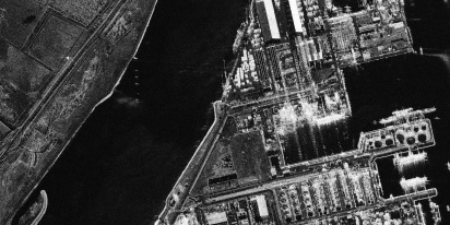
SAR imagery: How synthetic aperture radar technology works
Want to monitor assets without weather delays? Learn how SAR imagery captures soil moisture, floods, and structural shifts through clouds and smoke for your monitoring projects.

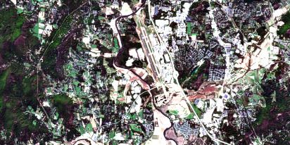
Optical satellite imagery: Getting insights from space
Ground inspections can be slow and expensive. Discover how commercial optical satellite imagery simplifies remote site monitoring and supports daily operational decisions.
Natural Disasters 2024: Extreme Weather On The Rise
Take a closer look at the 2024 natural disasters that shook the planet to reveal their causes, spread, and the massive challenges they created we all need to solve.
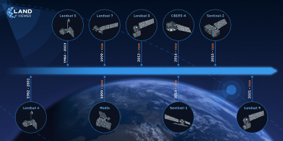
Historical Satellite Images: Accessing The Old Data
Decades of space-based imagery are now at your fingertips. Historical satellite images reveal the past and can guide your next move — whether you’re a farmer, eco-activist, city planner, or scientist.
EOSDA Reflects On Satellite Industry Trends For 2025
Small satellites, AI, hyperspectral imaging and more are next satellite industry trends. In this blog post, EOSDA experts discuss them to conclude a tech breakthrough is hardly possible in 2025.
Scientists’ Perspective On SatTech In Nature Recovery
Learn how EOSDA’s scientists view satellite monitoring’s role in nature recovery. Explore tools, examples, and a scientific approach to restoring ecosystems after disasters.

Discussing EU’s New Landmark Nature Restoration Law
In this interview, Kateryna Sergieieva, EOSDA Scientist, and Yevhenii Marchenko, Sales Team Lead, discuss the new EU law aimed at repairing all damaged ecosystems in Europe by 2050.
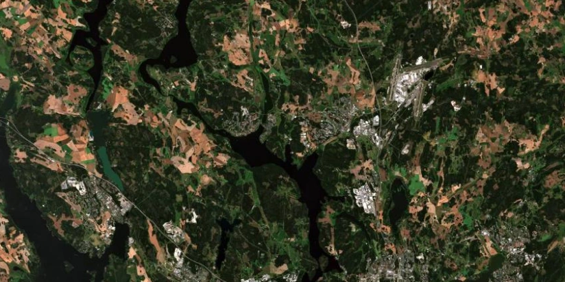
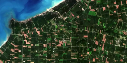
How To Interpret Satellite Images: Methods And Elements
Knowing how to interpret satellite images is key for analyzing crop health, tracking deforestation, and monitoring urban growth. Learn to decipher Earth's features from space-based observations.
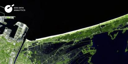
Free satellite imagery sources in 2026: Zoom in our planet
Looking for reliable GIS data? We have compiled the 10 best platforms in 2026 where you can easily search, analyze, and download high-quality satellite imagery free of charge.