Artikel über Funktionen & Nutzung von EOSDA LandViewer
Leitfaden Für Den Umstieg Vom Sentinel Hub EO Browser Zu EOSDA LandViewer
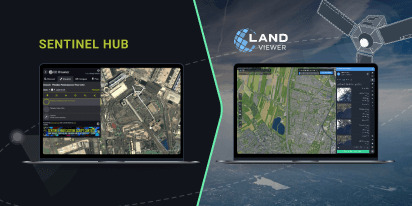
Sie suchen eine flexible Alternative zum EO Browser? EOSDA LandViewer bietet kostenlosen Zugriff auf aktuelle Bilder, ein großes Satellitenarchiv und erweiterte Analysetools.