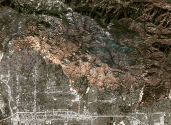
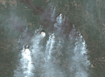
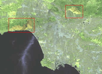
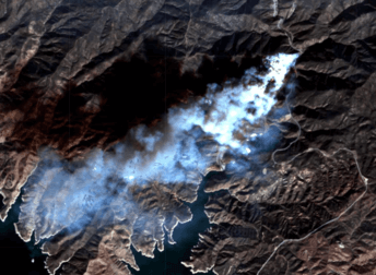
Satellite image gallery
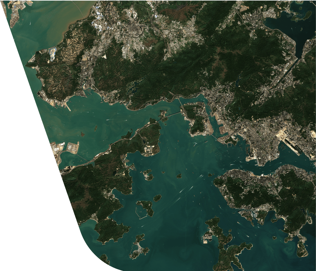
At EOSDA, we utilize world-class satellite imagery to meet the needs of a wide variety of industries through cutting-edge technologies. On this page, you are invited to learn more about it and watch the latest developments of GIS industry in action.
EOSDA offers orthorectified mono and stereo satellite images of Earth that can be processed for visualization of different terrain conditions in both 2D and 3D with the instant creation of various digital elevation models (also called DEM) from stereo sensors and current satellite images.
At EOSDA, you can search, pick and on-the-fly process the most recent satellite images from the huge catalogue that is constantly being updated.