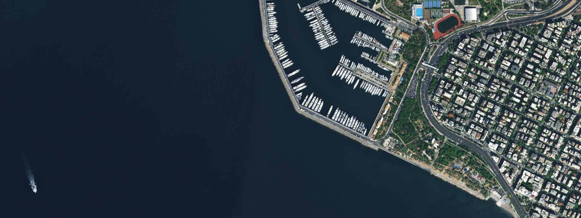
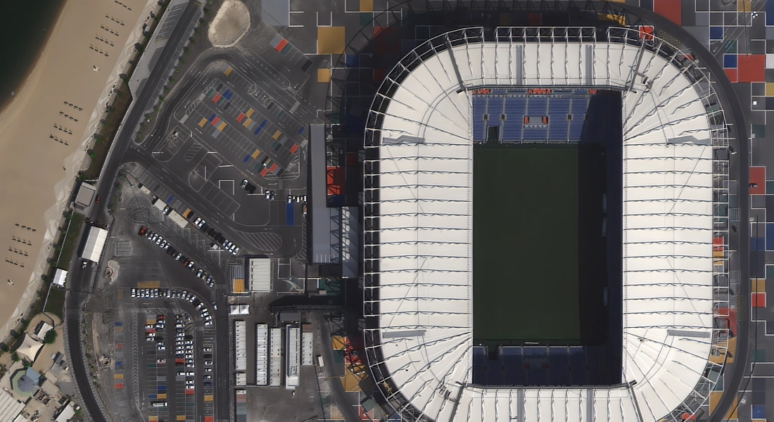
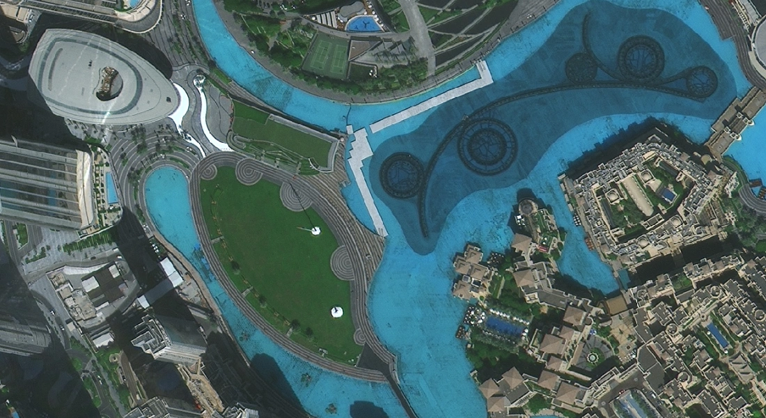
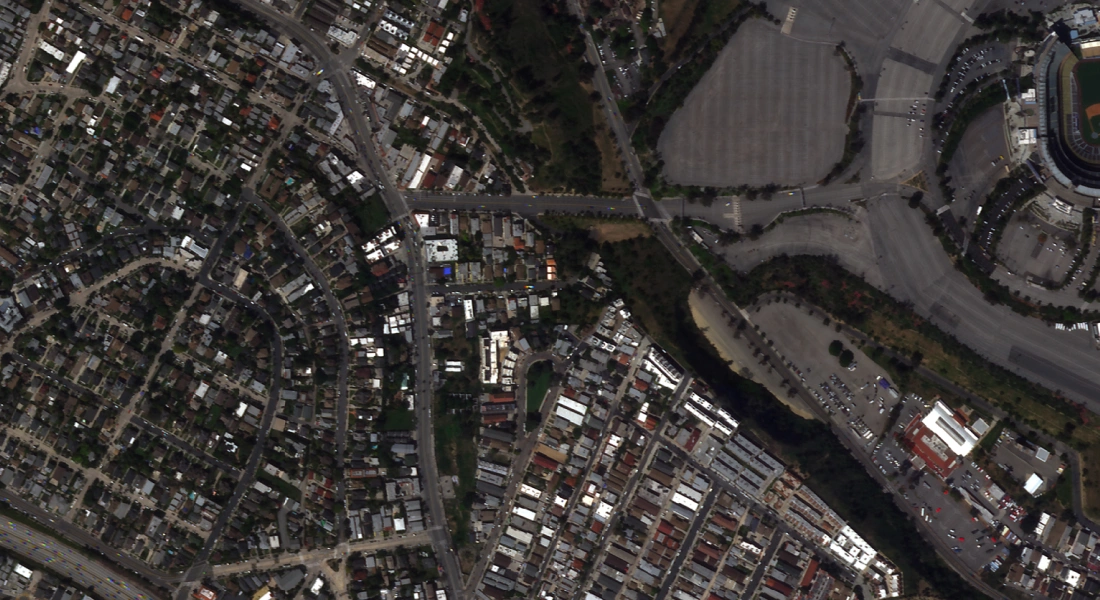
High-resolution satellite imagery on demand
- detect assets, vehicles, and site changes with up to 30 cm detail
- access 20+ years of historical archive for analysis and reporting
- order new tasking for your exact area of interest


Choose the right level of detail for your purpose
- New image tasking
- from $24 per km²
- Archive imagery
- from $16 per km²
- New image tasking
- from $12 per km²
- Archive imagery
- from $11 per km²
- New image tasking
- from $12 per km²
- Archive imagery
- from $4.5 per km²
- New image tasking
- from $10 per km²
- Archive imagery
- from $1.7 per km²
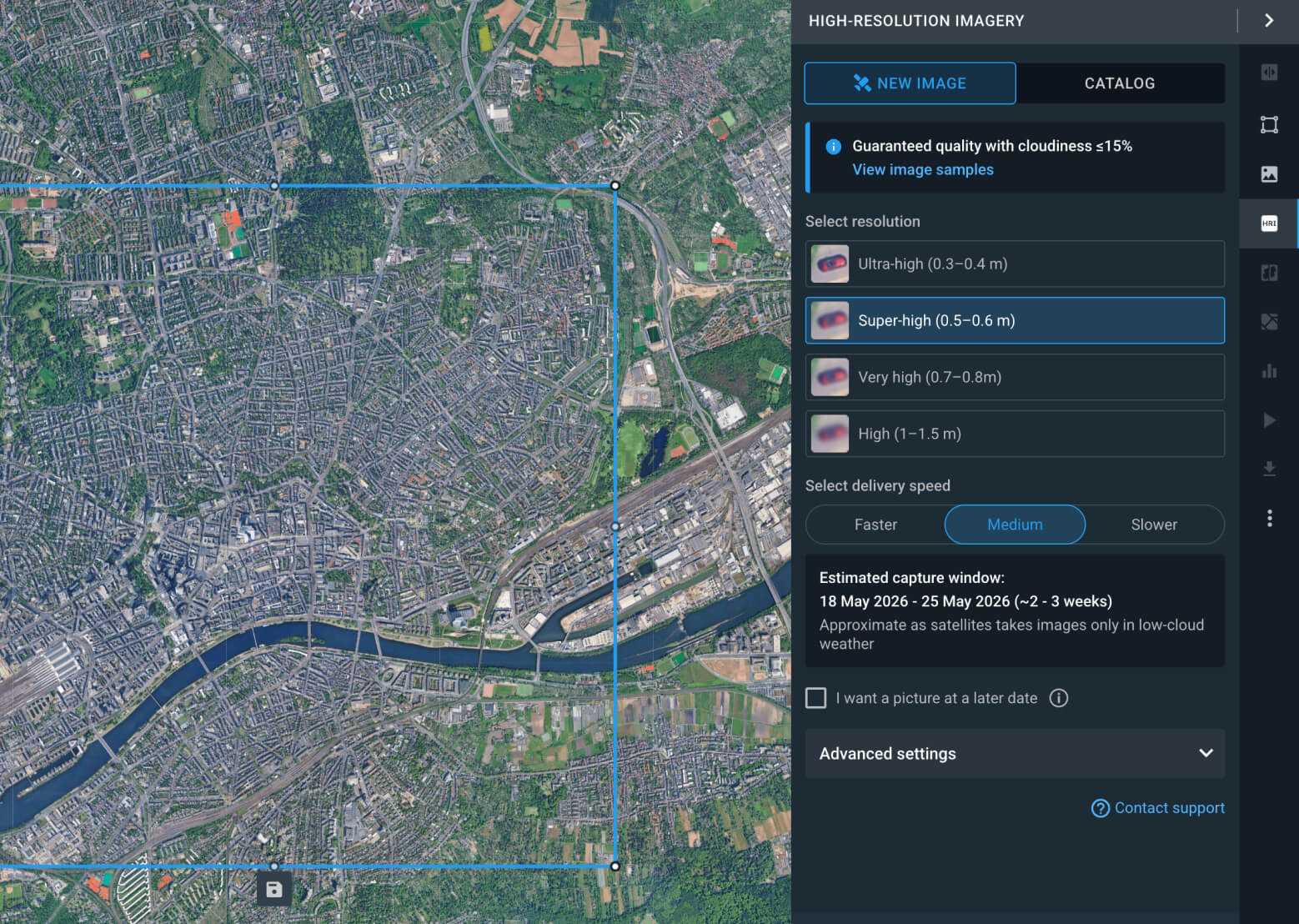
Request new images of your area
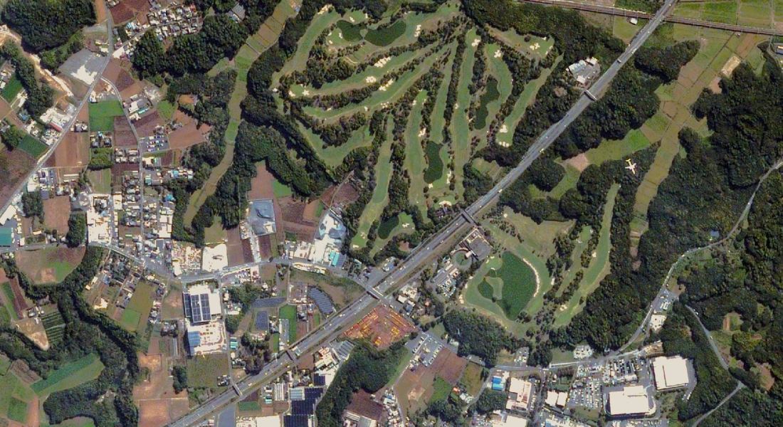
Order a new high-resolution image when the existing archive doesn't match your area, date, or project needs. Essential for real-time monitoring.
- Fresh captures timed perfectly for your project goals
- Complete area coverage without any gaps or compromises
- Repeat captures for regular site monitoring
- Imagery options for visual checks and in-depth analysis
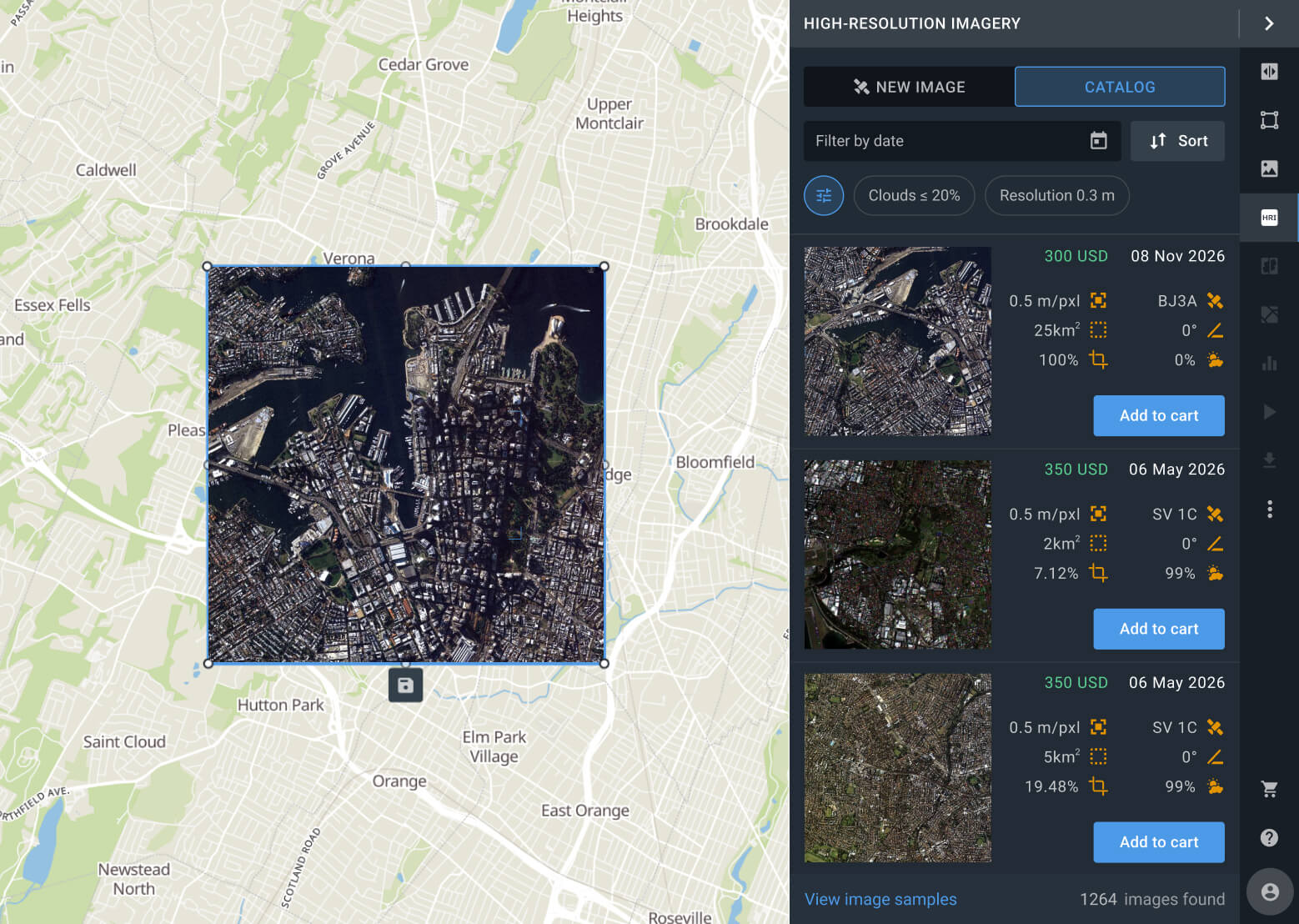
Explore the past with a large archive catalog
Search millions of available scenes for baseline mapping and 20+ years of historical analysis. Lower-cost and faster alternative to tasking.
- Faster order processing and access to clear photos
- Detailed views for site analysis and object detection
- Reliable basemaps for planning, mapping, and reporting
- Historical data to track changes and long-term trends
FAQ
Do I need a subscription to buy high-resolution images?
No, you do not need a subscription to buy high-resolution satellite imagery. Simply create a LandViewer account, choose your area, pick available scenes or set up new tasking, and place your order.
How to buy high-resolution satellite images in LandViewer?
You can buy them as soon as you create an account. To buy historical satellite imagery from our archives, just draw your AOI, set the dates, and select a relevant scene. To get the most recent view, choose your preferred resolution and place a tasking order.
What is the highest resolution available on LandViewer?
The highest resolution available in LandViewer is 30 cm, specifically from Beijing-3B and SuperView NEO-1. Ultra-high-resolution options also include BlackSky Gen-3 at 35 cm, KOMPSAT-3A at 40 cm, and SuperView-2 at 40 cm, depending on location and availability. Our diverse provider options ensure the widest coverage and fastest revisit times.
Can I request a new image of a specific location?
Yes, you can request capturing new photos through tasking. Just sign up on LandViewer, draw your area of interest (AOI) on the map, and head to the New image tab. There, you can select your preferred level of detail and delivery speed, and place your order to capture fresh views.
What does "near real-time" view mean?
Near real-time refers to processing and delivering an image shortly after it is captured by the satellite. In LandViewer, this means delivery within 24–48 hours after acquisition, depending on the provider and order conditions.
How much does a high-resolution photo cost?
LandViewer's high-resolution pricing starts at just $1.7/km², which is among the most accessible. High-resolution satellite imagery from providers like Satellogic and BlackSky is available from $4.50/km² for archive and $12/km² for tasking, with resolutions ranging from 30 cm to 1.5 m. You can place an order online or contact sales for larger areas, custom needs, or enterprise pricing.
Can I order hi-res satellite imagery for 3D modeling, all-weather monitoring, or advanced analysis?
Yes, in addition to standard high-resolution optical data, LandViewer provides access to advanced imagery types depending on the satellite provider. You can request SAR data for all-weather, day-and-night observation; hyperspectral images for detailed spectral analysis and material identification; and stereo images (captured from multiple angles) specifically designed to generate highly accurate Digital Elevation Models (DEMs) and 3D terrain maps.