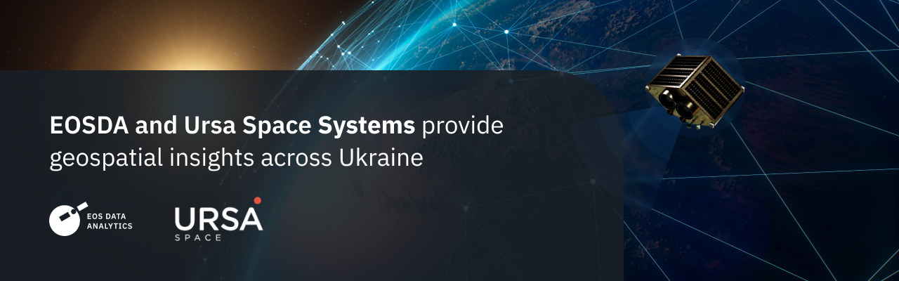
Satellite intelligence and insights have proven critical in delivering support to Ukraine for safety, security and rebuilding efforts. With the announcement of this agreement, geospatial analytics leader Ursa Space will provide analytic services to EOS Data Analytics (EOSDA) in support of missions in Ukraine. The unique service built atop Ursa’s services and EOSDA’s capabilities will enable the delivery of critical insights over the country.
Ursa Space’s platform orchestrates satellite imagery and analytic services at scale, to rapidly deliver to customers insights when needed. EOSDA, with geospatial analysts based in Ukraine, has created a feature-rich analytics infrastructure service atop their EOSDA Crop Monitoring capability that supports Public Sector and commercial businesses globally.
Ursa’s global imagery and analytics orchestration along with EOSDA’s unique knowledge to leverage our services in Ukraine provides for an unparalleled level of knowledge and intelligence on the ground and at sea.
Sophisticated understanding of vital infrastructure statuses such as energy sources, roadways, agriculture, and other essentials has been taken to the next level with the insights provided by Ursa and EOS Data Analytics. Our joint efforts will play an instrumental role in supporting the state-owned sector and businesses with the actionable geospatial data.
About Ursa Space
Ursa Space Systems is a satellite-analytics-as-a-service company that leverages the world’s largest, most progressive commercial satellite network and advanced data fusion capabilities to provide insights into physical changes on Earth. Our focus is on enabling automated change detection from multiple commercial sources, while eliminating the challenges of sourcing synthetic aperture radar (SAR) imagery and performing change analytics. The company’s subscription and custom services enable clients to access satellite imagery and analytic results with no geographic, political, or weather-related limitations.
About the author:
Natalia Borotkanych has a PhD in space history, Master’s Degree in Foreign Policy from the Diplomatic Academy of Ukraine, as well as Master’s Degree in Public Management and Administration from National Academy for Public Administration under the President of Ukraine. Natalia's experience includes working in business, science, education, and government projects for over 15 years.
More news
Summit Agro Chile Partners With EOS Data Analytics
EOSDA announces a partnership with a Chilean-based international input seller, Summit Agro, to visualize vegetative changes in local crops in connection with climatic and environmental conditions.
EOS Data Analytics Partners With Quantum Solutions
Together, EOS Data Analytics and Quantum Solutions will bring advanced satellite technology to Central African agriculture, focusing on improving productivity and sustainability in the region.
Argentinian Tecnosustrato Is Partnering With EOSDA
EOS Data Analytics and Tecnosustrato form a partnership to strengthen the latter’s products and services with satellite technology and remote sensing tools, including EOSDA Crop Monitoring.