
Natalia Borotkanych
Project coordinator
Natalia Borotkanych has been working in the space sector for more than 15 years now. Her experience includes working in business, science, education, and government projects.
Natalia has a PhD in space history, Master’s Degree in Foreign Policy from the Diplomatic Academy of Ukraine, as well as Master’s Degree in Public Management and Administration from National Academy for Public Administration under the President of Ukraine.
Building upon her experience of working in the State Space Agency of Ukraine, Natalia now specializes in helping the state bodies and NGOs to implement the satellite monitoring technologies for solving real-world problems and for smart decision-making.
Natalia is an active science communicator. She is a scientific editor at The Universe. Space. Tech magazine. She also teaches a “Space diplomacy” course at the National Aviation University.
Natalia's experience in project coordination and scientific expertise in the space sector are much appreciated at EOS Data Analytics.
Articles by this author
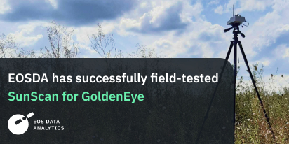
EOSDA Team Successfully Field-Tested SunScan For GoldenEye
EOS Data Analytics scientists acquired and tested the SunScan Canopy Analysis System within the GoldenEye project aimed at advancing sustainable mining practices and environmental care.

Satellite Imagery Analytics In Environmental Monitoring
EOSDA’s Data Scientist Olena Kavats discusses the possibilities of environmental monitoring based on remote sensing technology for the mining industry and gives an update on the team’s participation in the GoldenEye project.
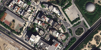
Spatial resolution: How to match to your business needs
Spatial resolution determines how much detail you can see in a satellite image. Learn how to choose between 0.3m, 0.5m, and 1m data to match your business goals without overpaying.
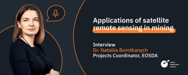
Use Of Satellite Remote Sensing In The Mining Industry
In the interview, Dr. Nataliia Borotkanych, Projects Coordinator at EOS Data Analytics, discusses the application of satellite remote sensing and imagery analytics in the mining industry. The specialist also talks about the contribution of the company team to the GoldenEye project.
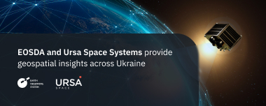
EOSDA And Ursa Space Entered Into An Agreement
EOS Data Analytics, a provider of AI-powered satellite imagery analytics, and Ursa Space Systems, a leader in geospatial analytics, entered into an agreement to provide geospatial intelligence in Ukraine.
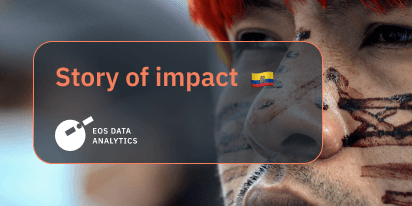
Oil Spills In The Amazon: A Never-ending Tragedy
EOS Data Analytics interviewed victims of the 2020 oil spill in Ecuador’s Amazon, monitored the situation around the latest incident, and analyzed satellite imagery to assess the negative impacts of the 2020 spill on the flora of the affected area.
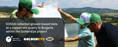
EOSDA’s Progress On The Work On The GoldenEye Project
The EOSDA specialists collected ground-based data at a copper ore quarry in Panagyurishte, Bulgaria, to validate the satellite monitoring technology for the GoldenEye platform

Boosting Latin America: Agritech And Advisory
Farming in Latin America starts using new technologies and services to boost agriculture. Dmytro Svyrydenko, Business Development Manager at EOSDA, elaborated on Latin America's agri challenges, the role of farming advisors, and satellite tech.
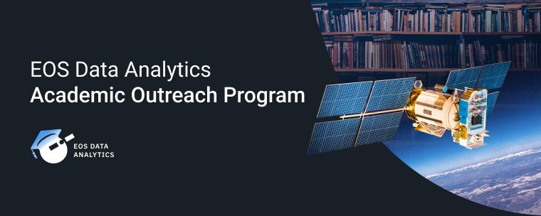
EOS Data Analytics Launches Academic Outreach Program
EOS Data Analytics, a global provider of AI-powered satellite imagery analytics, starts its Academic Outreach Program to help scientists worldwide accomplish their research projects by offering access to satellite imagery and analytics.