
Tennessee Farmers Cooperative
Tennessee Farmers Cooperative is a federated farm supply cooperative with over 160 retail outlets that serve more than half a million customers across Tennessee and in five neighboring states.
Nevertheless, its core activities are not limited to the production and distribution of consumer products, seed, and crop nutrients. As a federated cooperative system, TFC is characterized by the coordinated work of independent enterprises from agriculture and related fields.
The cooperative owns three fertilizer plants, five feed mills, a metal fabrication plant, a farm equipment facility, and a maintenance shop. TFC also operates barge terminals in Nashville and Ft. Loudoun in East Tennessee.
Since its foundation in 1945, Tennessee Farmers Co-op has been guided by the best interests of farmers through partnership, the sharing of experience, improving technologies, and respect for its heritage.
Overview
| Enterprise size: | 501-1,000 employees |
| Founded: | 1945 |
| Type: | Private enterprise |
| Industry: | Agricultural Production, Consumer Products, Feed, Farm hardware |
| Revenue: | $825 million |
| States Served: | |
| Client base: | 70,000 farmer-owners and 500,000 non-member clients. |
| Website: | www.ourcoop.com |
| Headquarters: | LaVergne, TN |
| Contact phone: | 1-615-793-8011 |
| Address: | PO Box 3003 La Vergne, TN 37086, US |
Area of Activity
Tennessee Farmers Cooperative is one of the U.S. largest agricultural federations.
The co-op’s stores offer a wide range of agronomy, grain, and feed products under the cooperative individual brand (CO-OP), as well as from leading industry suppliers:
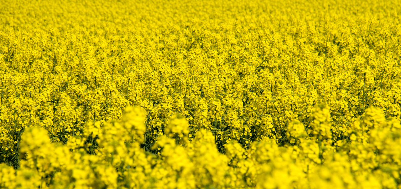
- Fertilizers (CO-OP, WinField United, Rainbow Plant Food, DeltAg, Monty’s Plant Food Company);
- Crop protection products (CORTEVA, FMC, Syngenta, Valent);
- Seed (wheat, cotton, soybean, corn, and others by AgriMAXX, Americot, Inc., Asgrow, Credenz, Croplan by WinField United, DEKALB, FiberMax, NK Seed, Deltapine, PhytoGen, Progeny, Terral Seed, Uni-South Genetics, Inc., etc.);
- Livestock feed (CO-OP);
- Equipment and components (including livestock equipment from Co-op’s own Metal Fabrication plant in LaVergne, and agronomy equipment by Doyle Manufacturing, Salford Group, GEHL loaders, Willmar, Ag Spray Equipment, Raven Applied Technology, Big John Mfg., as well as TeeJet spray products, Green Leaf and Banjo sprayer parts, Pacer Pumps, Norwesco Tanks, etc.).
Products, Services And Solutions
Services, branches of activity, specializations of the CVA cooperative:
-
Agricultural supply
Tennessee Farmers Co-op is an active producer and supplier of farming inputs like seeds, crop protection, nutrients, and livestock products. Additionally, it provides a wide range of products for the home, lawn, and garden. Under the brand name CO-OP, TFC retail stores offer garden and lawn seed, ornamental plants, fertilizers, pet products, hunting supplies, workwear, tires, lubricants, batteries, etc.
-
TFC feed mills
TFC has its own feed manufacturing facilities in Jackson, LaVergne, and Rockford, which provide feed, pet food, livestock supplement products, medicated animal feed, and various feed ingredients.
-
Ag Equipment division
This branch helps farmers by providing the best equipment including sprayers, implements, GPS equipment, and wheel loaders. It also provides dry material applicators to their fields.
Partnership And Cooperation
Tennessee Farmers Co-op continuously collaborates with the leading industry players, both in its core activities and social initiatives. For example:
- WinField United has been one of the most consistent partners of the co-op for over ten years. From high-quality seeds and chemicals to precision ag tools like Incompass, Climate Fieldview, and others – members of Tennessee Coop can enjoy access to the best products and solutions through this partnership.
- Tennessee Farmers Co-op annually supports FFA, 4-H, and similar organizations, contributing more than $250,000 per year to provide sponsorship, conferences, and various events. Also, TN Farmers Co-op offers 32 scholarships to agriculture students at the University of Tennessee at Martin, Tennessee Technological University, Middle Tennessee State University, Tennessee State University, and Austin Peay State University.
EOSDA Crop Monitoring Solutions For Landmark Services Cooperative
- Providing crop yield predictions at the regional level by its main crops
- Automated monitoring of a large number of fields using satellite imagery
- Zoning tool which allows the building of a productivity map for differential fertilizing and drip irrigation
- Historical weather, 14-days weather forecast and weather risks alerts
- Assessment of current and historical vegetation as well as the development of crops based on NDVI, RECI, MSAVI, and NDRE. At each stage of crop growth, the most relevant index can be selected.
- Assessment of vegetation state using an improved cloud mask.