Radars and lasers are breathtaking attributes of sci-fi movies no longer as it was just a few decades ago. These innovations have been widely used as types of sensors in remote sensing since science made a giant step ahead.
Over the span of time, remote sensing technology found its applications in various spheres of human life. Farmers benefit from the types of remote sensing satellites on a daily basis. Many important decisions ground on the data from RADARSAT, TerraSAR-X, SRTM, EOSDA, ERS, Sentinel, LANDSAT, among others.
What Is Active Remote Sensing?
There exist two main types of remote sensing classified according to the source of signal they use to explore the object, active vs. passive. Active remote sensing instruments operate with their own source of emission or light, while passive ones rely on the reflected one. Radiation also differs by wavelengths that fall into short (visible, NIR, MIR) and long (microwave).
Active Remote Sensing Instruments
Each active sensor in remote sensing directs its signal to the object and then checks the response – the received quantity. The majority of devices employ microwaves since they are relatively immune to weather conditions. Active remote sensing techniques differ by what they transmit (light or waves) and what they determine (e.g., distance, height, atmospheric conditions, etc.).
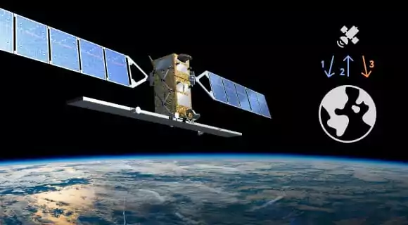
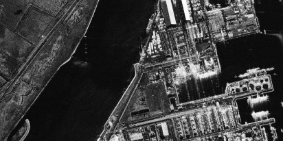
- Radar is a sensor assisting in ranging with radio signals. Its specific feature is the antenna emitting impulses. When the energy flow in radar active remote sensing meets an obstacle, it scatters back to the sensor to some degree. Based on its amount and traveling time, it is possible to estimate how far the target is.
- Lidar determines distance with light. Lidar active remote sensing implies transmitting light impulses and checking the quantity retrieved. The target location and distance are understood by multiplying the time by the speed of light.
- Laser altimeter measures elevation with lidar.
- Ranging instruments estimate the range either with one or two identical devices on different platforms sending signals to each other.
- Sounder studies weather conditions vertically by emitting impulses, in case it falls to the active category.
- Scatterometer is a specific device to measure bounced (backscattered) radiation.
Applications And Benefits
Apart from a variety of implementations, active remote sensors basically have no restrictions as to research conditions. Active types of remote sensing systems fully function at any time of the day as they do not require sunlight, and they are relatively independent of atmospheric scatterings.
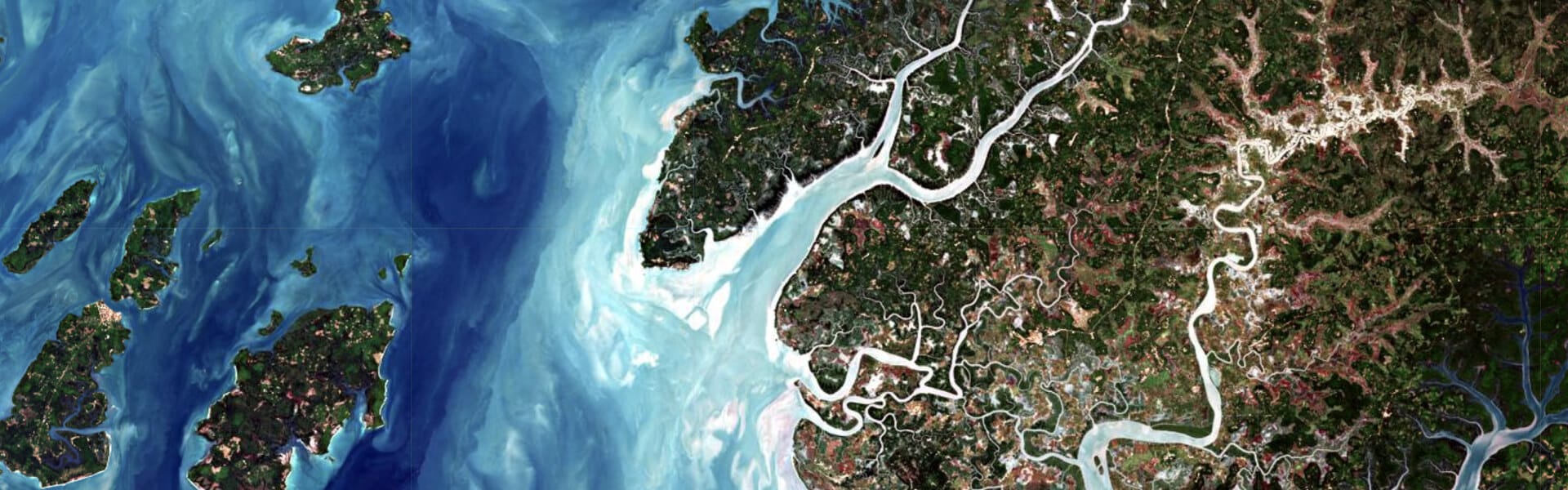
Various types of remote sensing technology find implementations both in scientific branches and far more practical industries. Shuttle Radar Topography Mission collected the Earth’s elevation data . Lidar active remote sensing in the sky assisted in the elaboration of digital models of our planet’s surfaces.
Data acquired with remote sensing instruments serve agriculturalists and foresters. They are critical in hard-to-reach places in marine sciences and rescue missions.
Sounders assist in developing weather forecasts with vertical profiles of humidity, precipitations, temperature, and absence/presence of clouds.
In EOSDA LandViewer, there are the most recent satellite images for free. Images from both active and passive sensors are available in this satellite observation imagery tool.
What Is Passive Remote Sensing?
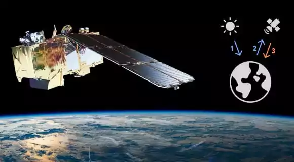
Passive sensors in remote sensing do not streamline energy of their own to the researched object or surface, unlike active ones. Passive remote sensing depends on natural energy (sunrays) bounced by the target. For this reason, it can be applied only with proper sunlight, otherwise there will be nothing to reflect.
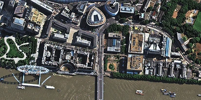
Passive remote sensing employs multispectral or hyperspectral sensors that measure the acquired quantity with multiple band combinations. These combinations differ by the number of channels (two wavelengths and more). The scope of bands includes spectra within and beyond human vision (visible, IR, NIR, TIR, microwave).
Passive Remote Sensing Devices
The most popular passive remote sensing examples of devices are various types of radiometers or spectrometers.
Instrument names clearly identify what they measure:
- Spectrometer distinguishes and analyzes spectral bands.
- Radiometer determines the power of radiation emitted by the object in particular band ranges (visible, IR, microwave).
- Spectroradiometer finds out the power of radiation in several band ranges.
- Hyperspectral radiometer operates with the most accurate type of passive sensor that is used in remote sensing. Due to extremely high resolution, it differentiates hundreds of ultimately narrow spectral bands within visible, NIR and MIR regions.
- Imaging radiometer scans the object or a surface to reproduce the image.
- Sounder senses the atmospheric conditions vertically.
- Accelerometer detects changes in speed per unit of time (e.g., linear or rotational).
Applications And Advantages Of Passive Remote Sensing
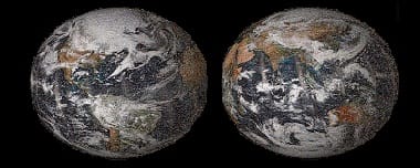
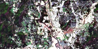
Among examples of passive sensors in remote sensing, Landsat data definitely stands out as the most long-lasting Earth-observing mission. It monitored our planet and recorded the obtained data enabling us to analyze the way it changed within a 40-year span. The mission’s great plus is that the information is accessible to the public, with interpretations applied in geology, mapping, ecology, forestry and agriculture, marine sciences, meteorology, etc.
In agriculture, remote sensing utilizes the reflectance properties of vegetation, measuring them, and assessing crop health with vegetation indices. It is possible because specific values of vegetation indices correlate with certain species at a certain growth stage. Our crop monitoring software and app helps agro businesses worldwide to manage their daily tasks, as well as check the fields’ state and maintain a healthy vegetation on them.
What Is Microwave Remote Sensing?
The classification of microwave sensing includes active and passive types and bases on the principle of either transmitting and receiving signals or receiving only. The differentiation lies in the wavelength. In this particular case, it varies from 1cm to 1m. Unlike shorter wavelengths, they break through almost any atmospheric conditions but heavy rains. Their insusceptibility to aerosols enables monitoring almost in any weather and at any time.
Passive Microwave Remote Sensing
Passive microwave sensing checks microwave emissions from targets. A passive sensor like a radiometer or scanner distinguishes natural energy and records it, with the difference that its antenna detects microwaves in particular, not other, shorter waves. The method enables specialists to understand the temperature and moisture of the target via certain correlations with the radiation quantity. The energy detected by this type of sensor is emitted, transmitted, or reflected.
The method provides data for many branches like meteorology, hydrology, agriculture, ecology, oceanography. In particular, it enables scientists to check soil moisture, atmospheric water and ozone concentrations; to distinguish oil spills and address water pollution.
Active Microwave Remote Sensing
Active microwave sensors radiate their own signal to the target and check the bounced amount. Different backscattering properties of different targets, as well as the traveling time, make it possible to outline them and find out the distance, knowing how long it takes the signal to travel to and back. The quantity also depends on the illumination angle and the surface evenness/roughness.
The most typical example of such devices is radar (operating with microwaves). The basic two types of remote sensing in this category are:
- imaging (two-dimensional, e.g., radars);
- non-imaging (linear, e.g., altimeters or scatterometers).
The technology is particularly beneficial to aircraft/spacecraft industries, marine sciences, and meteorology, to mention a few.
Earth Observations: Credible Data For Diverse Uses
Remote sensing satellites revolve around our planet within an established interval, providing almost real-time data and recording them. The obtained information makes it possible to analyze not only the current state of things but the historical background as well.
The technology findings nourish scientific research and facilitate people’s everyday activities in many branches, both practical and theoretical. With multiple applications and benefits to enjoy, there is still much to discover.
About the author:
Petro Kogut has a PhD in Physics and Mathematics and is the author of multiple scientific publications. He is the Soros Associated Professor as well as the head of the department of differential equations in the Oles Honchar Dnipro National University and has received a number of grants, prizes, honorary decorations, medals, and other awards. Prof. Dr. Petro Kogut is a science advisor for EOSDA.

More news
SAR imagery: How synthetic aperture radar technology works
Want to monitor assets without weather delays? Learn how SAR imagery captures soil moisture, floods, and structural shifts through clouds and smoke for your monitoring projects.
Optical satellite imagery: Getting insights from space
Ground inspections can be slow and expensive. Discover how commercial optical satellite imagery simplifies remote site monitoring and supports daily operational decisions.
Natural Disasters 2024: Extreme Weather On The Rise
Take a closer look at the 2024 natural disasters that shook the planet to reveal their causes, spread, and the massive challenges they created we all need to solve.