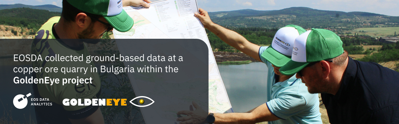
The EOS Data Analytics team went to a copper ore quarry in Panagyurishte, Bulgaria, and gathered ground-based data to validate the satellite monitoring technology for the AI platform developed within the three-year GoldenEye EU HORIZON 2020 project for the European mining industry.
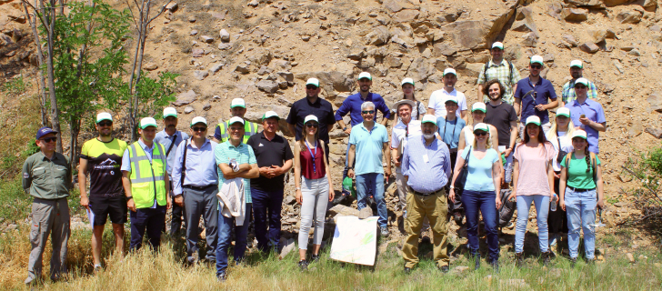

EOSDA also attended the project’s General Assembly. The event took place on May 30–31 in the Bulgarian capital, Sofia, and brought together 16 companies and research partners to share updates on their work.
GoldenEye entails developing an analytics platform for monitoring and analyzing mine sites across the EU to improve their productivity and worker safety and reduce the environmental impact of extraction.
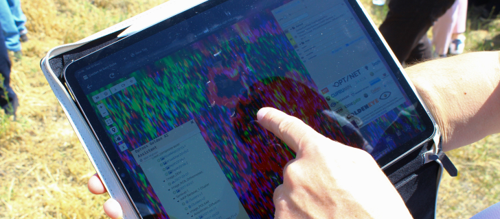
The platform, powered by machine learning algorithms, combines earth observation technologies with on-site sensing: It processes data from satellites, drones, and ground-based sensors to deliver actionable intelligence for mining monitoring across operational sites. That way, the AI platform supports decision-making at all stages of the mine’s life cycle, from exploration to extraction and post-closure.
Under the terms of the GoldenEye program, EOS Data Analytics is providing satellite data processing. Notably, the specialists are in charge of ecological monitoring on numerous indicators, such as the assessment of slope stability, allocation of areas of active extraction, humidity and surface temperature, and vegetation condition of adjacent territories. They also evaluate the dynamics of changes in water surface area in tailings.
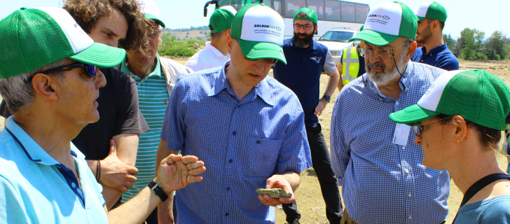
GoldenEye is a unique project, implementation of which requires the synergy of many participants and the use of cutting-edge technologies like satellite monitoring. To analyze satellite imagery, EOSDA uses various image processing approaches, including machine learning and deep learning algorithms. Not all methods work the same around the world and with all types of minerals. Therefore, we can’t go without an area’s visual overview and ground data collection. We need them to calibrate and validate results obtained from satellites. An interesting addition to the trip was the fact that the Panagyurishte quarry is located in a cultural and historical region of Bulgaria: there are dozens of Thracian burial mounds.
Five mining sites in Germany, Finland, Romania, Bulgaria, and Kosovo were chosen for piloting the GoldenEye platform. The participants are finishing collecting, processing, and analyzing data. The next step is to test the platform to ensure it’s ready for deployment.
About the author:
Natalia Borotkanych has a PhD in space history, Master’s Degree in Foreign Policy from the Diplomatic Academy of Ukraine, as well as Master’s Degree in Public Management and Administration from National Academy for Public Administration under the President of Ukraine. Natalia's experience includes working in business, science, education, and government projects for over 15 years.


Turn high-tech satellite data into actionable solutions for your business.

More news
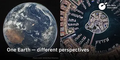
From the Moon mission to practical Earth solutions
Space technology allows us to look further than ever before, but its value is twofold: as the NASA Moon mission explores new frontiers, we use that same vantage point to solve Earth problems.

EOSDA to Monitor Wildfires in Portugal Using Satellite Data Under ESA’s InCubed Programme
The company signed a contract with ESA to create an innovative satellite-based solution for forest monitoring and wildfire prevention.
EOSDA’s Harvesting Hope Initiative: Marginal Notes
Dive into additional details of the Harvesting Hope initiative by EOS Data Analytics and learn extra insights from the scientific research behind it.