EOSDA Launches Its Solutions In AWS Marketplace
EOS Data Analytics (EOSDA), a global provider of AI-powered satellite imagery analytics, is now listed in AWS Marketplace, a digital catalog with thousands of software listings from independent software vendors that make it easy to find, test, buy, and deploy software that runs on Amazon Web Services (AWS), to help more large-scale businesses reach sustainable practices in agriculture with space tech.
With the inclusion of EOSDA, AWS Marketplace users all over the world are now able to find, purchase, deploy, and manage the following company’s products and custom agritech solutions:
- EOSDA Crop Monitoring, an online satellite-based precision agriculture platform for field monitoring. Distributed as an out-of-the-box platform, a white-label platform, and a reseller-oriented product, it integrates data like crop health, field activities, weather conditions, and much more to help customers take care of their crops.
- Crop classification, a custom solution that identifies land cover, water bodies, and forest vegetation, and classifies types of crops across different seasons.
- Soil moisture, a custom solution that monitors soil’s root zone and surface level to track climate trends and estimate crop yields.
- Yield prediction, a highly accurate estimation solution that reveals how much yield can provide any crop in the upcoming season by analyzing historical trends and other data.
These products will be presented as seven different offerings to address a spectrum of AWS Marketplace customers’ needs and drive the digital revolution in agriculture and related industries, from consulting and banking to telecom and logistics.
It’s a pleasure for us to have our products present in the AWS Marketplace. This milestone enables us to reach out to more potential customers in our target markets and, with the help of AWS, boost the smart tech adoption in the agriculture industry across the globe. We are sure such expansion of our presence will allow us to scale our growth and make space tech a global driver of sustainability among a number of industries.
EOSDA launched a multi-purpose satellite, EOS SAT-1, focused on agriculture, forestry, natural disaster management, and urban monitoring, into a low Earth orbit. It allows EOS Data Analytics to increase the accuracy of its insights even further, and the full cycle from data acquisition to analytics delivery now takes between 16-24 hours.
About the author:
Rim Elijah holds a double degree in business administration and political science from Stockholm University. As a VP of Sales at EOSDA, she oversees all aspects of business model development and implementation and the growth of the company’s global coverage. She has successfully established a number of strategic partnerships with an emphasis on sustainable solutions in Africa and Asia.
Recent articles
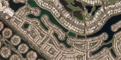
LandViewer integrates Satellogic high-frequency imaging
LandViewer has expanded its high-resolution monitoring options by integrating Satellogic NewSat data. This update provides more frequent revisits and detailed imagery for tracking daily changes.
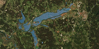
Validating satellite tech for flood analysis and damage mapping in Coimbra
Can satellites improve disaster response? We explored this in the Coimbra district, showing how integrated satellite intelligence can assess flood impacts and fill critical data gaps during a crisis.
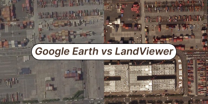
What’s Better Than Google Earth For Professional Use?
Is the resolution of free maps too low for your project? LandViewer offers a professional alternative to Google Earth with up to 0.3m imagery and daily revisits to ensure you never miss a detail.