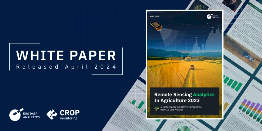
EOS Data Analytics, a provider of AI-powered satellite imagery analytics, is proud to announce the release of its latest white paper, “Remote Sensing Analytics in Agriculture 2023.” This document emerges from the synthesis of extensive market research and analysis conducted within the EOSDA Crop Monitoring platform.
Aimed at a broad audience of food producers, agronomists, business owners, and technology enthusiasts, the white paper is designed to shed light on how advanced remote sensing analytics are becoming instrumental in agricultural practices, enhancing productivity, and promoting sustainable growth in the industry.
Get the white paper
Developed through EOS Data Analytics’ pioneering efforts, “Remote Sensing Analytics in Agriculture 2023” reflects on the current trends and the dynamic shifts within the sector, driven by the advent of satellite-powered technologies. It serves as a testament to the company’s dedication to advancing precision agriculture and sustainable farming through cutting-edge satellite imagery and AI applications.
Key highlights from the white paper include:
- Agricultural Trends and Market Overviews: A detailed exploration of the AgriTech market from 2022 to 2030, highlighting significant growth areas and technological adoption.
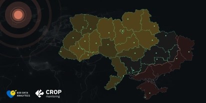
- Farm Practices through EOSDA Crop Monitoring: Analysis of data from over 242,000 users across 185 countries, providing a unique glimpse into the worldwide agricultural landscape.
- Global Adoption of Satellite Imagery Analytics: Insights into how farmers and agribusinesses worldwide are integrating satellite technology to refine crop monitoring and management.
- Technological Impact and Future Prospects: EOSDA leaders share the company’s plans for 2024 to answer the industry’s current challenges.
This comprehensive document is instrumental for anyone involved in the agricultural sector, from C-level executives to field agronomists, seeking to navigate the complexities of modern farming with informed decision-making and strategic planning.
“Remote Sensing Analytics in Agriculture 2023” dives deep into various aspects, such as market breakups by components, solutions, software services, and applications, offering readers an extensive understanding of the current state and future direction of remote sensing in agriculture.
With the global digital agriculture market experiencing robust growth, this white paper highlights the essential role of remote sensing analytics in driving efficiency, sustainability, and innovation in the agricultural sector.
We invite all professionals and enthusiasts in the fields of satellite imagery analytics, agriculture, environmental science, and technology to download this white paper. Discover the extensive capabilities of remote sensing analytics and how it is shaping the future of agriculture towards a more sustainable and productive future.
Get the white paper
The process involves filling out a contact form, after which the document is automatically downloaded. Users can opt to receive a copy in their email.
About the author:
Maksym Sushchuk is at the forefront of realizing EOSDA's vision to make space tech a global driver of sustainability on Earth. He has over 15 years of experience in journalism and content creation for prominent Ukrainian startups, charitable funds and ESG businesses. As Head and Co-founder of PR Army Maxim brings attention to the human and social tolls of the aggression against Ukraine.
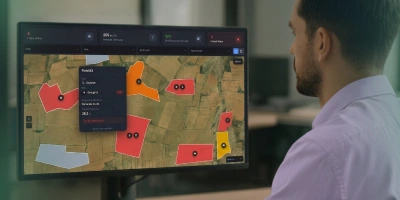
Detect crop risks earlier with AI-powered field alerts.
More news
From the Moon mission to practical Earth solutions
Space technology allows us to look further than ever before, but its value is twofold: as the NASA Moon mission explores new frontiers, we use that same vantage point to solve Earth problems.

EOSDA to Monitor Wildfires in Portugal Using Satellite Data Under ESA’s InCubed Programme
The company signed a contract with ESA to create an innovative satellite-based solution for forest monitoring and wildfire prevention.
EOSDA’s Harvesting Hope Initiative: Marginal Notes
Dive into additional details of the Harvesting Hope initiative by EOS Data Analytics and learn extra insights from the scientific research behind it.