EOSDA Blog

Top Articles

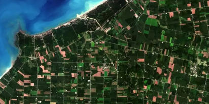
Historical Satellite Images: Accessing The Old Data
Decades of space-based imagery are now at your fingertips. Historical satellite images reveal the past and can guide your next move — whether you’re a farmer, eco-activist, city planner, or scientist.

All articles
Popular tags
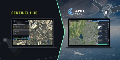
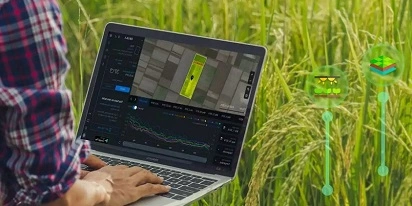
Transition Guide From Sentinel Hub EO Browser To EOSDA LandViewer
Need an EO Browser alternative that’s just as familiar but more flexible? EOSDA LandViewer offers free recent imagery, a vast satellite data archive, and advanced analytical tools.
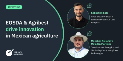
EOSDA & Agribest: Driving Agtech Growth In Mexico
In this insightful interview, Agribest shares how its collaboration with EOSDA is shaping Mexico’s agricultural future, with a focus on profitability, sustainability, and technology.
Top Ready-Made Agriculture Tools & Softwares for 2025
Agriculture softwares are silent partners in the field, working tirelessly behind the scenes to support farmers with insights and precision to cultivate sustainable agricultural ecosystems.
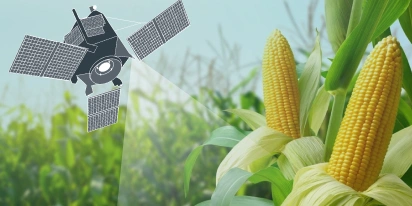
The Best Vegetation Indices For Maize Growth Monitoring
One index won’t fit every maize growth stage. Knowing which one to use and how to interpret can save you time and inputs during the growing season.
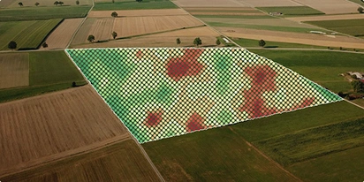
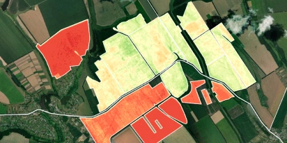
Yield Monitoring And Mapping In Precision Farming
Why do two neighboring field areas produce such different results? Yield monitoring and mapping help explain why inputs go to waste in some areas and how to manage them more efficiently.
NDVI Explained: How The Index Helps Monitor Crop Health
NDVI is a trusted index for monitoring crop health. Learn how it works, what the values mean, and how to use it to guide better farm management decisions.
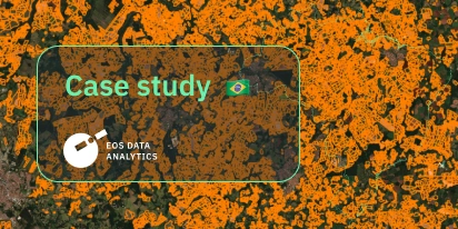
EOSDA Validates Sugarcane Mapping In São Paulo
EOSDA validated its sugarcane classification technology in São Paulo, Brazil, using Sentinel-2 data and ground-truth verification to improve mapping accuracy.
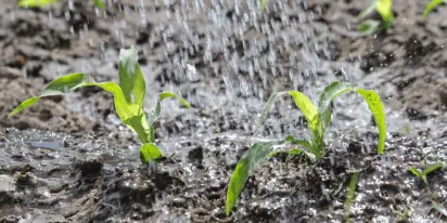
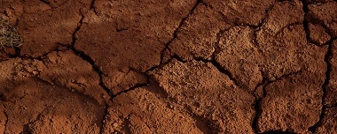
Soil Moisture: How To Measure & Monitor Its Level
Soil moisture content has a profound effect on the development of crops. Different soil moisture measuring instruments help farmers to maintain its optimal balance. One of the most effective is satellite monitoring.
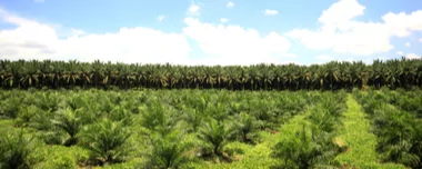
Oil Palm Plantation: Cultivation And Management
Palm oil is an in-demand commodity, so growing oil palm trees in plantations is a popular business. It is highly efficient when plantation owners know cultivation specifics and crop needs.