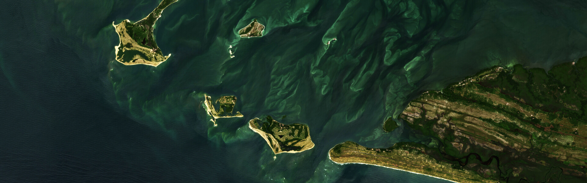
High-resolution images are available on EOSDA Crop Monitoring, an online satellite-driven platform for crop analysis by EOS Data Analytics (EOSDA). Daily revisit allows for faster and more efficient decision-making.
Subscribed users can get access to the high-resolution images by purchasing this add-on in the EOSDA Crop Monitoring marketplace.
The module provides access to daily high-resolution images of fields, allowing agronomists to improve the quality of their farming decisions, spend less money, and get more yields as a result.
- Users can considerably save time and reduce expenditures by staying aware of daily changes in the state of their crops. This will allow for an elimination of risks before they develop into full-blown issues with the crops.
- The module can also be used to improve scouting operations by targeting the efforts of drones and scouts, pointing them to the right location at the right time thanks to a higher accuracy of satellite image analysis. Now the field owners can send scouts where and when they are really needed.
- The add-on will increase the precision of data obtained about the state of crops and provide a much more detailed and accurate picture of what is really happening in the fields.
To illustrate the difference between medium-quality and high-resolution imagery, we’ve placed them side by side.
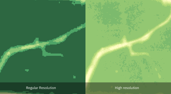
Images are captured every day at a resolution of 3 meters or 9.8 feet per pixel. Some images can be obscured by clouds due to unfavorable weather conditions.
The company team is hoping to make the lives of farmers and other agronomists better by providing them with the more accurate EOSDA Crop Monitoring tools. In 2023, EOSDA launched a multi-purpose optical EOS SAT-1 satellite into a Low Earth Orbit. The satellite imaging will use 11 spectral bands, which will help focus on agriculture, forestry, natural disaster management, and urban monitoring.
Stay tuned for more updates.
About the author:
Petro Kogut has a PhD in Physics and Mathematics and is the author of multiple scientific publications. He is the Soros Associated Professor as well as the head of the department of differential equations in the Oles Honchar Dnipro National University and has received a number of grants, prizes, honorary decorations, medals, and other awards. Prof. Dr. Petro Kogut is a science advisor for EOSDA.
Detect crop risks earlier with AI-powered field alerts.

More news
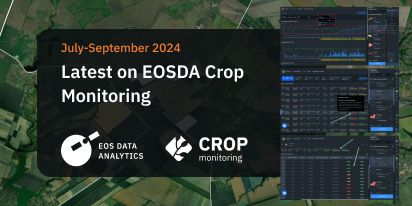
Mask, Layer, And Indices: New In EOSDA Crop Monitoring
Explore the new features added to EOSDA Crop Monitoring in Q3 2024: cloud/shadow mask management, Planet data integration, new indices, activity recommendations, and mustard growth stages.
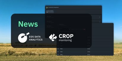
EOSDA Crop Monitoring Adds John Deere Data Integration
EOSDA Crop Monitoring users can add their John Deere data to the platform for automated data transfer and optimized VRA mapping capabilities.
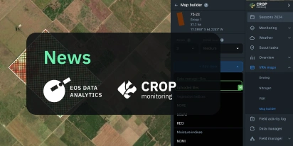
EOSDA Crop Monitoring: Map Builder Feature Rolled Out
EOSDA Crop Monitoring users can now leverage their machinery’s yield data to optimize input use and crop performance with the VRA mapping capabilities of the Map Builder feature.