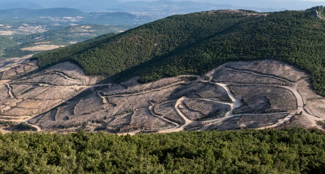
Deforestation Monitoring and Management
Forests cover almost a third of all land area on Earth, yet at a current deforestation rate, in the nearest future we might lose most to all of it. Trees play an essential role in the carbon cycle, absorbing CO2 and giving off oxygen, thus keeping global temperatures from rising rapidly, and providing air to breathe for all living beings on the planet. Over two thirds of all land animals rely on forests as their habitats.
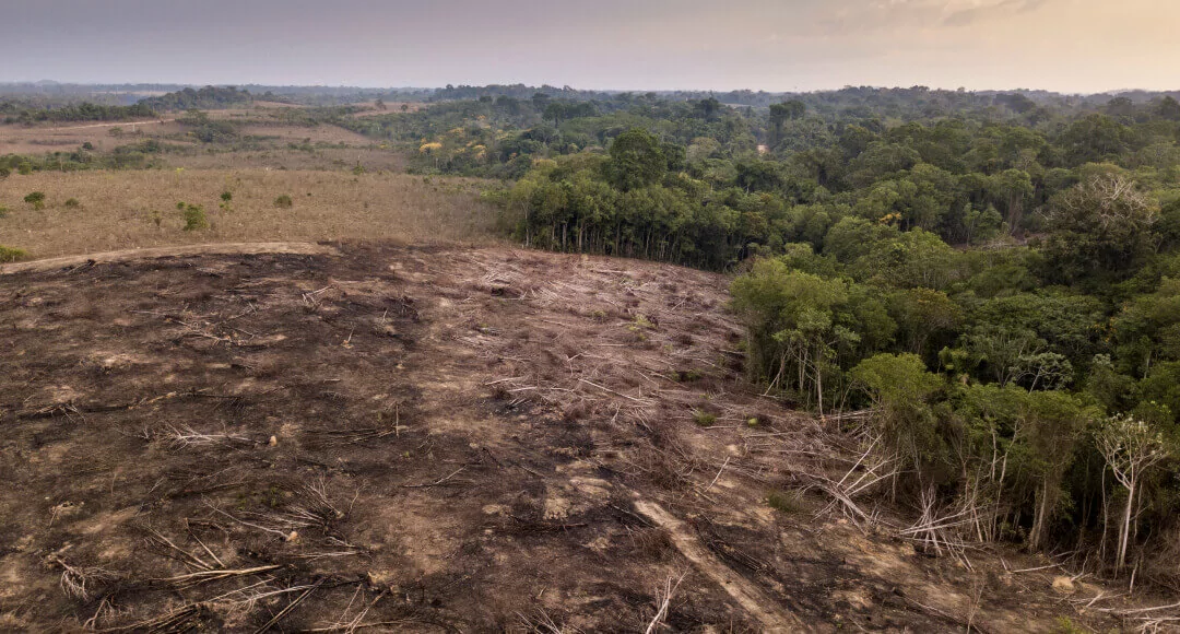
The effects of deforestation on environment can be catastrophic, if humans do not take up sustainable management of forest resources and agriculture. Monitoring forests in near-real time is one of key solutions for deforestation.
Deforestation Facts and Statistics
10M
ha 24.7 mil acres annually80M
hectares 198 million acres>1 400
species90%
of people>50%
of world's forests2.6M
ha annually 64 million acres per yearWhat Causes Deforestation Issues?
Forest fires
Fire causes more deforestation annually than logging and agriculture combined. This is mostly due to human intervention in the natural fire cycle. While some forest ecosystems have evolved to use fire to their advantage, other areas are less adapted. When human activities cause fire in such unprepared forest areas, the results can be catastrophic. In addition, humanly-induced forest fires are usually more frequent and more intense than their natural counterpart. All of this leads to a significant increase in global forest loss each year.

Pests & Diseases
Pests and diseases are among the most inconspicuous causes of deforestation. Yet, in recent years, pest infestations and tree diseases have become more common due to increase in international plant trade. When trees encounter new harmful species of insects and previously unknown pathogens, they have no time to evolve any kind of resistance and easily succumb. Globalization and climate change fuel this process, causing more deforestation all around the world.

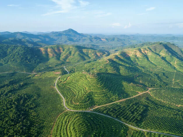
Conversion Of Forests To Agricultural Land
Clearing and burning of forests for the needs of agriculture and other land use is by far the number one cause of deforestation globally. Today, human needs extend well beyond simple nourishment, yet feeding an ever-growing world population is a great challenge in and of itself. The demand for palm oil as an essential ingredient in a large number of daily products is a major factor contributing to deforestation. When forests are turned into plantations and farmlands, there is no going back in terms of biodiversity restoration.
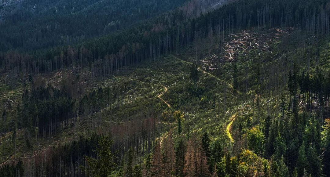
Unsustainable Logging
Even when it's legal, logging drives deforestation at a concerning rate. Each year, logging destroys more trees than all natural factors combined. Humans heavily rely on timber, fuel, and other products the trees are harvested for. Tree felling is not a clean process, often bringing down several surrounding trees and is usually accompanied with clearing forest just to facilitate wood transportation. Unauthorized logging further contributes to global deforestation issues, deepening human footprint on the planet and speeding up climate change.

Deforestation Due To Urbanization
Urbanization leads to deforestation indirectly in ways that can be compared to a chain reaction effect. As city population increases, more area is needed to build infrastructure upon. If this extra area happens to be a forest, it gets cleared. In fact, urban land area is predicted to expand by more than 740,000 square miles between 2000 and 2030, which means more deforestation. The rapid increase in city population also drives deforestation by raising demand for animal products and processed foods.

Mining
Deforestation and climate change are firmly linked with each other. It has been estimated that deforestation contributes to at least 15% of all greenhouse gas (GHG) emissions on the planet. Trees rely on carbon dioxide, primary greenhouse gas, to survive, so the more trees are standing, the less CO2 is in the air. Rainforests alone store between 228 to 247 gigatons of carbon. Felling trees increases the amount of carbon dioxide in two ways: 1) leaves less trees to absorb the gas and 2) releases carbon back into the atmosphere. Greenhouse gases, especially CO2, can raise global temperatures and affect weather patterns, leading to climate change.

Negative Effects of Deforestation
Deforestation leads to multiple negative effects, including soil degradation, flooding, and climate change

Deforestation and climate change are firmly linked with each other. It has been estimated that deforestation contributes to at least 15% of all greenhouse gas (GHG) emissions on the planet. Trees rely on carbon dioxide, primary greenhouse gas, to survive, so the more trees are standing, the less CO2 is in the air. Rainforests alone store between 228 to 247 gigatons of carbon. Felling trees increases the amount of carbon dioxide in two ways: 1) leaves less trees to absorb the gas and 2) releases carbon back into the atmosphere. Greenhouse gases, especially CO2, can raise global temperatures and affect weather patterns, leading to climate change.

Forest trees create a net of roots under the surface, anchoring the soil. When the trees are cut down, there is nothing left to keep the soil intact and able to resist erosion by wind or water. Hence, the result of deforestation would be the depleted, unusable soil, and flooding. Approximately a third of all arable land in the world has been lost due to soil erosion since 1960.
Deforestation drives climate change through direct and indirect release of greenhouse gases (GHG). On the one hand, tree felling releases carbon in the atmosphere, leaving less trees to absorb CO2. On the other hand, agricultural activity on deforested land emits large amounts of methane (cattle and fertilizers). Combined, these emissions comprise a quarter of all emissions globally.
Forests are complex ecosystems teeming with plant and animal life. Many animals live in trees or rely on forest environments to survive. Deforestation can destroy their habitats permanently, even causing some species to become extinct.

One of the less obvious effects of deforestation is a higher risk of flooding in the deforested area. Since trees absorb rain water both from the soil and through the leaves, there is less water left over to cause floods. Soil under trees can hold water better and is less likely to move around. In case of an intensive rainfall, water will accumulate on the surface, while loose soil may slide and block river channels, causing severe floods.
How to Stop Deforestation
Sustainable forest management practices
Deforestation can and should be sustainable. It's all about maintaining balance between meeting our needs in wood and paper products while preserving the natural cycle of forest loss and regeneration.
Government policies to control illegal logging
Governments know how to prevent deforestation from getting out of control by implementing stricter forest management regulations. Proper legislation prohibiting importation of illegal timber, along with an effective system of tracking timber harvesting, transportation, and sale, should be enough to stop illegal deforestation. Consumers can also play an active role in this battle by refusing to purchase uncertified timber products.
Place-based conservation practices
Apart from conservation legislation, place-based conservation practices include collaborative land and ecosystem management to enhance the ways we interact with and use the world’s forests. This specifically applies to agribusinesses and governments that should make more efforts in committing to decrease alarming deforestation rates.
Reforestation
Human-caused deforestation can be countered with reforestation. Planting trees in the deforested areas helps restore the habitat of a unique biodiversity and battles climate change.
Deforestation-free Commodity Chains
Although the number of companies with zero tolerance for deforestation is growing, there is still a long way to go. Global brands and retailers have to strive upon completely eliminating deforestation from their manufacturing and supply chains to support sustainable production. To achieve this, companies need to shift towards new methods and technologies to help supplement wood in their commodity chains. For instance, in fuel or construction materials production, recycling could be the key.
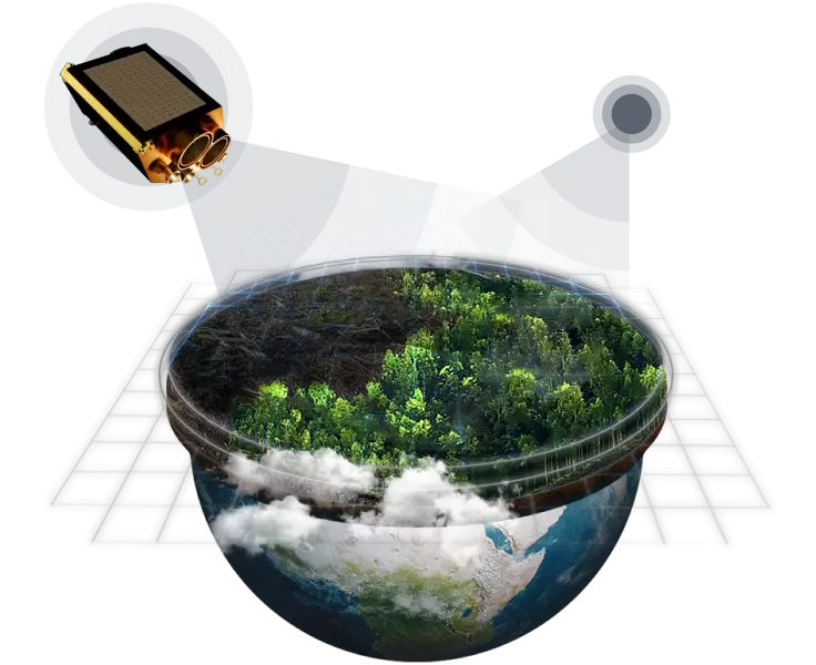
EOSDA Offers A Variety Of Deforestation Solutions
- Analyze and predict deforestation patterns with our catalog of historical and current satellite imagery
- Monitor forest cover change, thermal anomalies, logging, and more
- Receive email notifications about forest cover changes to improve decision-making
- Monitor forest health: measure productivity and water stress
- Access weather data archive and get a 14-day forecast
Latest industry news
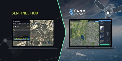
Transition Guide From Sentinel Hub EO Browser To EOSDA LandViewer
Need an EO Browser alternative that’s just as familiar but more flexible? EOSDA LandViewer offers free recent imagery, a vast satellite data archive, and advanced analytical tools.

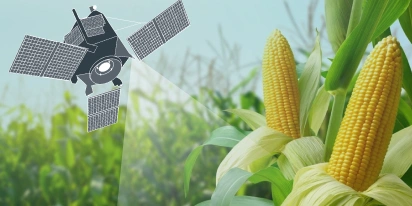
EOSDA & Agribest: Driving Agtech Growth In Mexico
In this insightful interview, Agribest shares how its collaboration with EOSDA is shaping Mexico’s agricultural future, with a focus on profitability, sustainability, and technology.

Top Ready-Made Agriculture Tools & Softwares for 2025
Agriculture softwares are silent partners in the field, working tirelessly behind the scenes to support farmers with insights and precision to cultivate sustainable agricultural ecosystems.
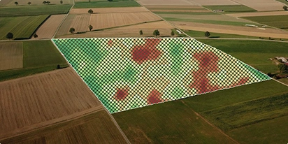
The Best Vegetation Indices For Maize Growth Monitoring
One index won’t fit every maize growth stage. Knowing which one to use and how to interpret can save you time and inputs during the growing season.
Yield Monitoring And Mapping In Precision Farming
Why do two neighboring field areas produce such different results? Yield monitoring and mapping help explain why inputs go to waste in some areas and how to manage them more efficiently.
NDVI Explained: How The Index Helps Monitor Crop Health
NDVI is a trusted index for monitoring crop health. Learn how it works, what the values mean, and how to use it to guide better farm management decisions.