Agriculture
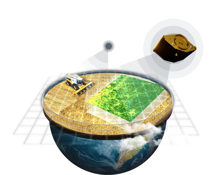
Making agriculture easy with space technologies
Аt EOSDA, we make a change, fusing space technologies with human determination for sustainability on Earth. Our focus is to provide precision agriculture solutions solutions for farming sector to save time and resources, cut costs and losses, make profit and an impact - keep the pace of change. Utilizing our ag solutions you will always be a step ahead.
Apply satellite tools and make your farming practices easier done than said
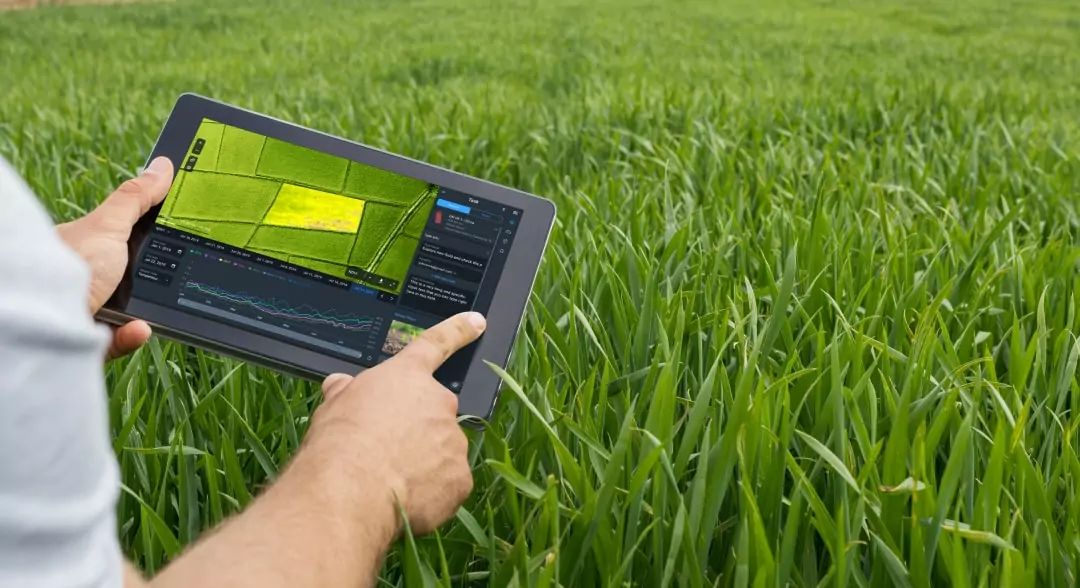
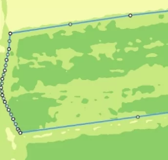
Manage your fields easier - monitor remotely, reveal issues on the spot, and act timely with a top-notch software for farming:
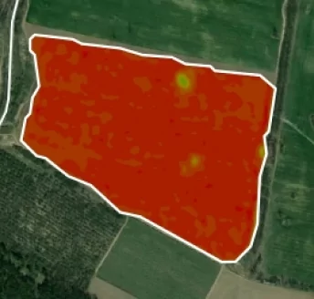
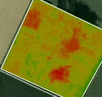
- Variable rate fertilizer/seed application based on agricultural productivity map
- Near real-time change detection displayed on our Field leaderboard 24/7
- Timely data-driven decisions thanks to remote problem area detection and precision scouting
- Effecient planning across all of your fields with an advanced field activity log
- In-depth field state analytics with agriculture weather forecast, vegetation indices, stages of plant growth among other key factors
- Access to all the data from agricultural machinery on one screen via user-friendly Data Manager
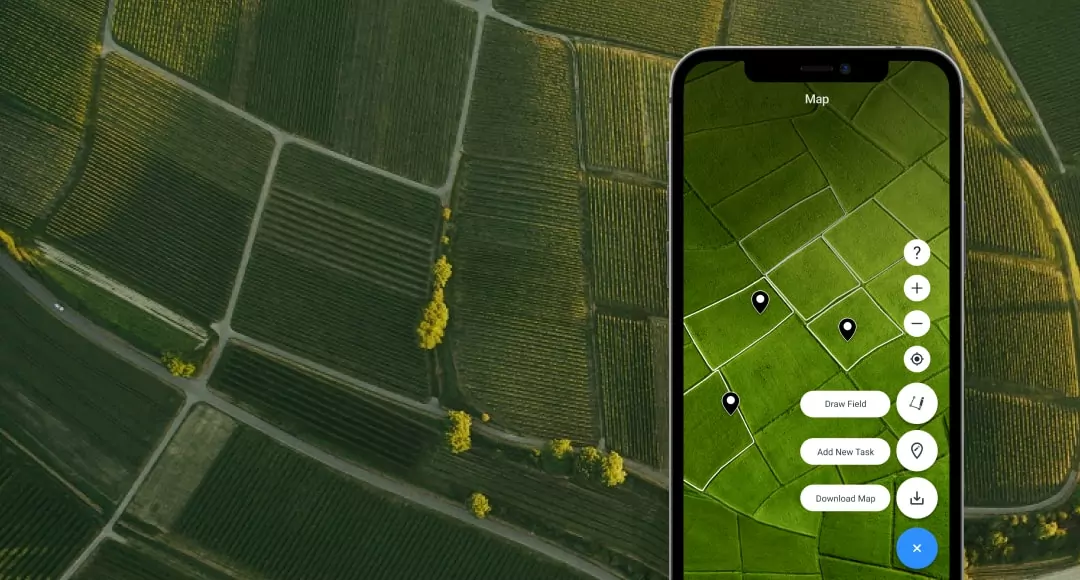
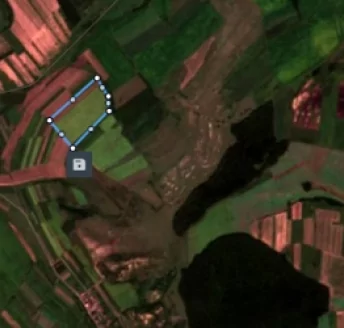
Mobile Scouting App
Scouting has never been easier thanks to our free farming app connected with EOSDA Crop Monitoring web interface:
- Set, manage, and monitor scouting tasks easier with a focused mobile app.
- Inspect issues, attach pics to reports, and share results with a team - host all the scouting flow in one place.
- Take advantage of GPS-based scouting.
- Work with scouting tasks in online and offline modes.
- Stay up-to-date on the smallest changes thanks to automated synchronization with web-version.
- Add threats to reports while scouting and you'll get notified about the presence of high-level threats directly from the fields.
Custom Projects
In a world of neural networks and machine learning, nothing is impossible. Bring your business challenge to us, and we will deliver a special solution to you.
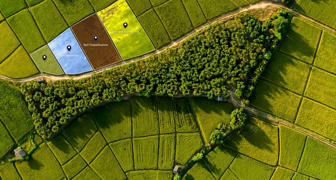
Who Can Benefit
Real-world applications of our agriculture tech
EOSDA has all the right tools to increase agricultural productivity of any field, regardless of its size and purpose.
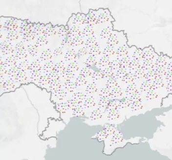
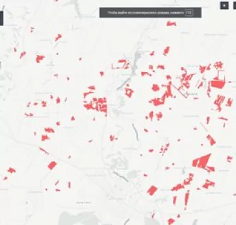
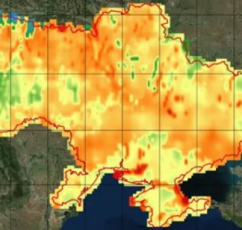
Ukraine Crop Map
Use our interactive satellite-based Crop Map for Ukraine, to see which plots of land are not in the national registry.
Crop Rotation
Make better-informed decisions about crop rotation management and predict yields for every field you have.
Frost Damage Assessment
Apprehend frost damage to plants with our cold stress detection technology.
Plant Wilting Detection
Detect wilting crops at an early stage based on satellite data, NDVI, historical weather data, and send scouts to investigate.
Modified Soil-Adjusted Vegetation Index
Monitor your crops at a very early stage of their development and create variable rate fertilizer application maps based on the MSAVI index.
Normalized Difference RedEdge Index
Detect the oppressed and aging vegetation, identify plant diseases, and optimize the timing of harvest thanks to the NDRE index.
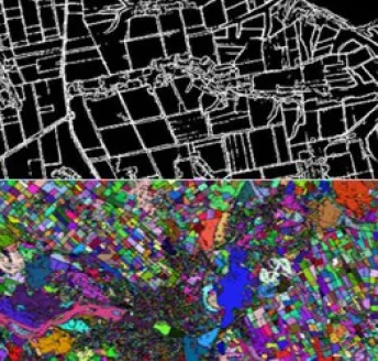
Crop Classification
Identify the type of crop growing on the field using our trained neural network.
Crop Damage Assessment
Keep your crops safe with historical and up-to-date data retrieved from satellite imagery always at hand.
Soil Moisture
Monitor soil moisture levels in your fields and react to drought conditions and waterlogging in a timely manner to keep crops healthy.
Try now
Explore EOSDA Crop Monitoring functionality with a personal demo account