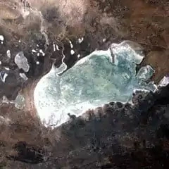
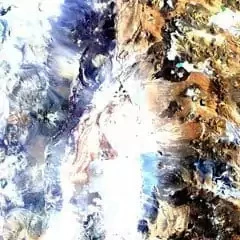
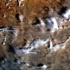
Landsat 4 (TM) Satellite Images
In addition to the MSS sensor, Landsat 4 carried a new scanning sensor with improved spectral and spatial resolution. These high-resolution scanners have seven spectral bands that cover an area of 185 x 185 km. The Thematic Mapper (TM) scanner has the ability to observe a wider (and more scientifically-tailored) portion of the electromagnetic spectrum and view the ground in greater detail. The instrument had seven spectral bands, collecting data from the blue, green, red, near-infrared, mid-infrared (2 bands) and thermal infrared portions of the electromagnetic spectrum.
In 1983, Landsat 4 lost two solar panels and both of its direct downlink transmitters. Hence, the downlink of data was not possible until the TDRS (Tracking and Data Relay Satellite) system became operational. In that case Landsat 4 could transmit data to TDRS using its Ku-band transmitter. TDRS could then relay this information to its ground stations. Landsat 4 remained in orbit for standby and data tracking until it was decommissioned on June 1st, 2001, at which point it was placed into a disposal orbit to reduce collision risk with other resident space objects.
Landsat 4 (TM) Characteristics
| Characteristic | Description |
|---|---|
| Participants |
|
| Launch Date | 30148 |
| Vehicle | Delta 3920 |
| Site | Vandenberg Air Force Base, California |
| Spacecraft |
|
| Communications |
|
| Orbit |
|
| Sensors |
|
| Scene size | 170 km x 185 km (106 mi x 115 mi) |
| Design life | Minumum of 3 years |
Landsat 4 (TM) Bands
| Sensor | Band number | Band name | Wavelength (μm) | Resolution (m) | Band Applications |
|---|---|---|---|---|---|
| TM | 1 | Visible Blue | 0.45 – 0.52 | 30 | Bathymetric mapping, distinguishing soil from vegetation, and deciduous from coniferous vegetation |
| TM | 2 | Visible Green | 0.52 – 0.60 | 30 | Emphasizes peak vegetation, which is useful for assessing plant vigor |
| TM | 3 | Visible Red | 0.63 – 0.69 | 30 | Discriminates vegetation slopes |
| TM | 4 | NIR | 0.76 – 0.90 | 30 | Emphasizes biomass content and shorelines |
| TM | 5 | SWIR 1 | 1.55 – 1.75 | 30 | Discriminates moisture content of soil and vegetation; |
| TM | 6 | Thermal | 10.40 – 12.50 | 120 | Thermal mapping and estimated soil moisture |
| TM | 7 | SWIR 2 | 2.08 – 2.35 | 30 | Hydrothermally altered rocks associated with mineral deposits |