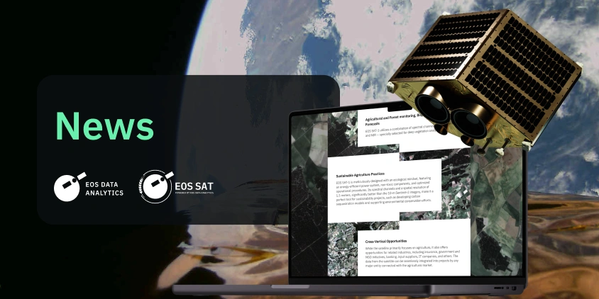
EOS Data Analytics presents a white paper that delves into the technical specifications of the EOS SAT-1 agri-focused satellite, launched into low Earth orbit by SpaceX’s Falcon 9 rocket on January 3, 2023.
The document is aimed at professionals in the fields of satellite imagery analytics, agriculture, environmental science, and technology. It provides a comprehensive overview of the satellite’s capabilities, applications, and the potential it holds for advancing sustainable agricultural practices and environmental monitoring.
The white paper can be downloaded by clicking a gray button located to the right of the blog post text for desktop users, and immediately after the text for mobile users.
EOS SAT-1, developed for EOS Data Analytics, signifies a step forward in the company’s application of AI and satellite imagery for agricultural and environmental analysis. Launched into a low Earth orbit by SpaceX’s Falcon 9 rocket on January 3, 2023, this satellite is designed with the specific purpose of enhancing global monitoring capabilities, focusing on sustainable agriculture and environmental conservation.
The newly released white paper is an EOS SAT-1 Data Sheet that includes:
- Technical specifications and orbital parameters of EOS SAT-1.
- An overview of the satellite’s payload, also detailing band comparisons, image resolution, and imagery acquisition.
- Information on image processing, including data storage and image data folder structures, along with naming conventions.
- A section on the unique features and benefits of EOS SAT-1.
- A short overview of use cases, showcasing the satellite’s application in areas such as agricultural and forest monitoring, biophysical modeling, and more.
The data from EOS SAT-1 can provide valuable insights for agribusinesses. Spectral capacities and sensor resolution of the satellite enable the monitoring of crop growth and the early detection of potential threats such as temperature extremes, water stress, and pest infestations. This technology aids in optimizing the use of agricultural inputs, testing the efficacy of crop protection products, reducing the need for field inspections, managing irrigation systems, estimating yields, and more, leading to more efficient and sustainable agricultural practices.
For professionals interested in satellite imagery analytics and its applications in agriculture and environmental monitoring, the EOS SAT-1 Data Sheet offers a detailed look at the capabilities of the EOS SAT-1 satellite. We invite you to download the white paper to explore how this technology can support your objectives in these fields.
To download the white paper, click the gray button available on this blog post page.
The process involves filling out a contact form, after which the document is automatically downloaded. Users can opt to receive a copy in their email.
About the author:
Maksym Sushchuk is at the forefront of realizing EOSDA's vision to make space tech a global driver of sustainability on Earth. He has over 15 years of experience in journalism and content creation for prominent Ukrainian startups, charitable funds and ESG businesses. As Head and Co-founder of PR Army Maxim brings attention to the human and social tolls of the aggression against Ukraine.
More news
EOSDA tracks construction progress in the UAE PAD areas
Managing rapid industrial expansion in the UAE requires accurate data. See how our satellite-based solution helped a client verify construction milestones and reduce inspection costs.

Validating satellite tech for flood analysis and damage mapping in Coimbra
Can satellites improve disaster response? We explored this in the Coimbra district, showing how integrated satellite intelligence can assess flood impacts and fill critical data gaps during a crisis.

EOSDA advances rice field mapping in Indonesia with SAR
EOSDA tested a radar-based approach to improve rice field detection in Indonesia. By integrating SAR and optical data, the team ensured stable monitoring even during peak monsoon months.