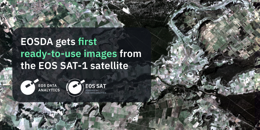
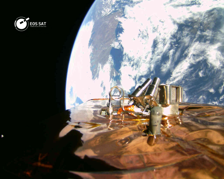
EOS Data Analytics (EOSDA), a global provider of AI-powered satellite imagery analytics founded by Dr. Max Polyakov, processed the first images from EOS SAT-1, the small optical satellite launched into a low Earth orbit by SpaceX’s Falcon 9 rocket on January 3, 2023.
EOS SAT-1 is a small optical agri-focused satellite that is able to capture imagery of up to 1,150,000 square kilometers daily using 11 agri-related bands. Right after the launch, the EOSDA team successfully established stable communication with the satellite and started sending telemetry data to a ground station. The next task was to make sure that the onboard computer manages the data correctly both on the firmware and software levels. Finally, once all the tasks of the calibration and validation campaign were done and payload performance was commissioned, EOSDA obtained the first images provided by EOS SAT-1.
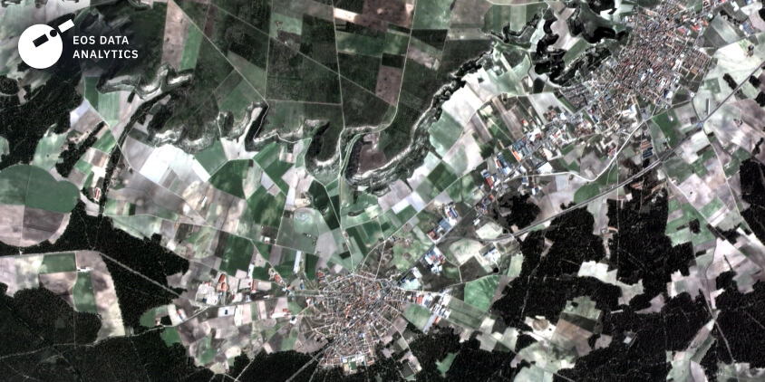
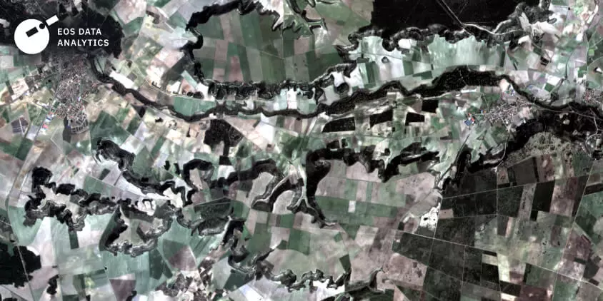
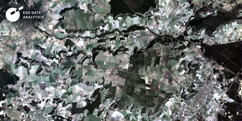
The first satellite’s pan-sharpened images have a resolution of 1.5 meters and cover a total area of 2,550 square kilometers in the Spanish province of Segovia. The images were processed within the DEIMOS Ground Segment gs4EO solution.
Prior to receiving the first images, the EOSDA team made sure the satellite’s bus structures, optical modules, communication modules, and power systems along with subsystems like thermal, AOCS and OBDH payload are working properly and pass the necessary tests. More tests and checks are scheduled to be performed during the commissioning phase before the satellite’s data is fully integrated into the EOSDA solutions.
We are thrilled to embark on this new journey that will enable us to harness proprietary datasets, providing our customers and partners unparalleled insights and enhanced accuracy. EOS Data Analytics remains steadfast in our pursuit of innovation, and we look forward to unlocking further advancements that will benefit agriculture and environmental monitoring worldwide.
We are incredibly proud of EOS SAT-1’s performance and the quality of the images it has produced. Launching it was the culmination of everything that we’ve done at Dragonfly Aerospace to this point. Having been intimately involved in designing and manufacturing every subsystem of the satellite ourselves, we couldn’t be more proud to have created one of the top-performing satellites launched to date.
About the author:
Rim Elijah holds a double degree in business administration and political science from Stockholm University. As a VP of Sales at EOSDA, she oversees all aspects of business model development and implementation and the growth of the company’s global coverage. She has successfully established a number of strategic partnerships with an emphasis on sustainable solutions in Africa and Asia.
More news

EOSDA tracks construction progress in the UAE PAD areas
Managing rapid industrial expansion in the UAE requires accurate data. See how our satellite-based solution helped a client verify construction milestones and reduce inspection costs.

Validating satellite tech for flood analysis and damage mapping in Coimbra
Can satellites improve disaster response? We explored this in the Coimbra district, showing how integrated satellite intelligence can assess flood impacts and fill critical data gaps during a crisis.

EOSDA advances rice field mapping in Indonesia with SAR
EOSDA tested a radar-based approach to improve rice field detection in Indonesia. By integrating SAR and optical data, the team ensured stable monitoring even during peak monsoon months.