EOS Data Analytics, a global provider of AI-powered satellite data analytics, is thrilled to announce the release of the new satellite tasking feature in EOSDA LandViewer, a geospatial platform designed for easy access to live satellite imagery and geospatial data. This capability allows users to order on-demand future satellite images for their area of interest, with resolutions ranging from 0.3m to 0.8m.
Watch the new satellite tasking feature in action on EOSDA LandViewer. Video: EOS Data Analytics
By enabling users to direct satellites to specific locations and capture images as needed, EOSDA LandViewer now helps obtain up-to-date and highly detailed imagery for various applications, including crop monitoring, infrastructure planning, and disaster response.
Currently, the solution supports tasking from eight satellites, providing a broad range of high-resolution options. These satellites include:
- 21AT: TripleSat (0.8m), Beijing-3A (0.5m), Beijing-3N (0.3m)
- Space View (SpaceWill): SuperView 1 (0.5m), SuperView-2 (0.4m), SuperView NEO-1 (0.3m)
- SIIS (SI Imaging Services): KOMPSAT-3 (0.5m), KOMPSAT-3A (0.4m)
By utilizing these satellites, users can obtain images with resolutions tailored to their specific needs, from detailed urban analysis to comprehensive agricultural monitoring.
The launch of the satellite tasking feature in EOSDA LandViewer is a significant milestone for us. It empowers our users to order up-to-date and high-resolution satellite images of their areas of interest, monitor them thanks to predictable satellite revisit frequency, and benefit from more flexible collaboration with satellite providers. This feature not only enhances the value we offer to our clients but also opens up new opportunities for precise and timely decision-making.
The key benefits of the new satellite tasking feature include:
- Future image ordering: Users can now request making high-resolution satellite images for specific areas with just a few clicks.
- Enhanced coverage: The feature ensures comprehensive area coverage, filling gaps left by archived data.
- High-resolution imagery: With resolutions up to 0.3m, users can access detailed images tailored to their needs.
- Flexible revisit: Tasking allows for flexible revisit schedules, ensuring regular monitoring of areas of interest.
The update is particularly viable for industries that rely on precise and timely satellite data. For instance, agricultural professionals can use the tasking feature to monitor crop health and optimize yields by obtaining high-resolution images of their fields at critical times. Infrastructure planners can get the most recent imagery of project sites, helping them to assess progress and make informed decisions. Environmental researchers will benefit from the ability to monitor ecosystems and track changes over time with up-to-date images.
EOS Data Analytics has designed the satellite tasking feature in EOSDA LandViewer with user-friendliness in mind, incorporating helpful hints next to almost every input field to simplify the ordering process. The intuitive design ensures that even those new to satellite imagery can easily navigate and utilize the powerful capabilities now available to them.
By streamlining the process of ordering satellite imagery and offering more customization options, the new satellite tasking feature in EOSDA LandViewer enhances the overall user experience. This innovation reaffirms EOS Data Analytics’ mission to harness the power of satellite technologies to provide businesses with fast and accurate data-driven decisions.
Explore the new tasking feature of EOSDA LandViewer via this link.
About the author:
Maksym Sushchuk is at the forefront of realizing EOSDA's vision to make space tech a global driver of sustainability on Earth. He has over 15 years of experience in journalism and content creation for prominent Ukrainian startups, charitable funds and ESG businesses. As Head and Co-founder of PR Army Maxim brings attention to the human and social tolls of the aggression against Ukraine.
More news
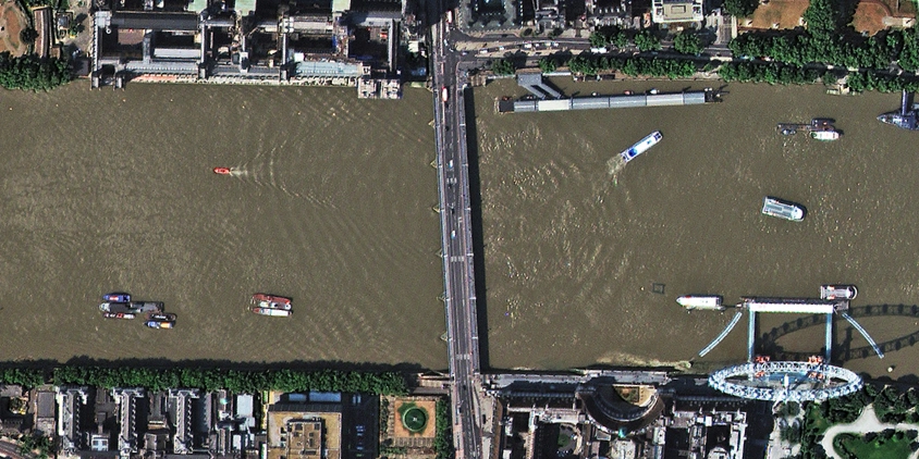
How to get a satellite view of my property?
Businesses need independent visual data to protect their investments. In LandViewer, you choose the date and source to get the satellite property photos for logging site damage or build readiness.
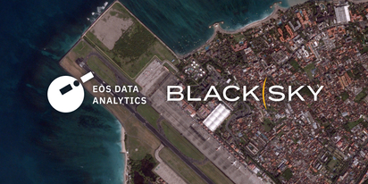
LandViewer welcomes BlackSky Gen-3 high-resolution imagery
LandViewer has expanded its high-resolution catalogue with BlackSky Gen-3, offering 0.3 m imagery, up to 15 daily revisits, and AI-powered analytics for detailed analysis and daily site monitoring.

LandViewer integrates Satellogic high-frequency imaging
LandViewer has expanded its high-resolution monitoring options by integrating Satellogic NewSat data. This update provides more frequent revisits and detailed imagery for tracking daily changes.