Satellite Data Analytics For Daily Earth Insights & Decision-making
We leverage the capabilities of satellite-based monitoring and data analytics to improve decision-making and drive sustainability across the globe.
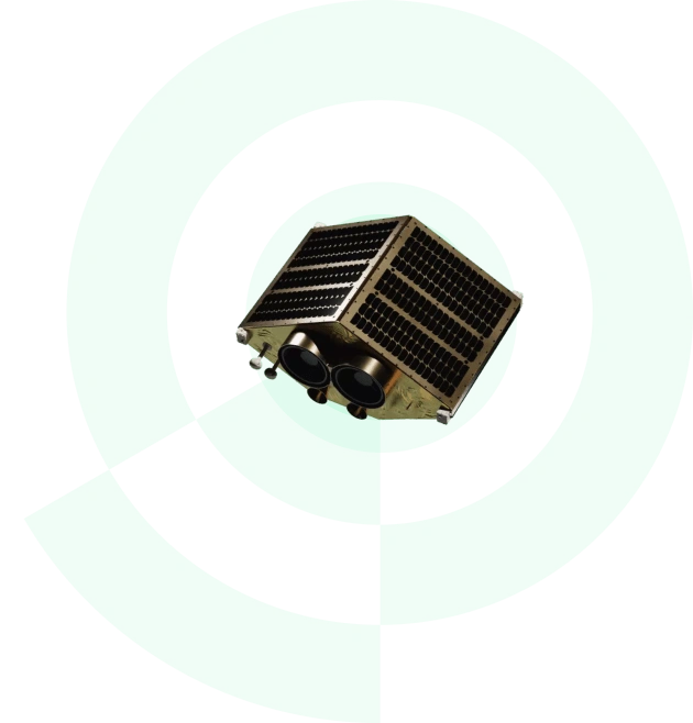
EOS Data Analytics is at the forefront of harnessing the power of satellite technologies to drive businesses with fast and actionable data while preserving the environment. We are among the leading global satellite data providers specializing in generating sustainable satellite-driven AI-powered solutions in agriculture and forestry, with the ability to extend solutions to other niches upon request.
Our case studies and success stories
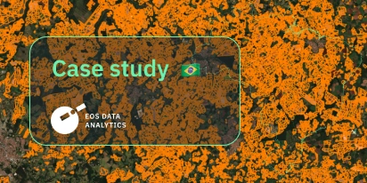
EOSDA Validates Sugarcane Mapping In São Paulo
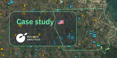
Mapping Iowa: Smarter Crop ID And Field Boundaries
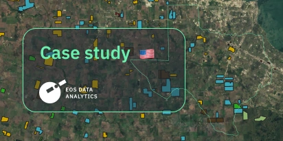
Boundaries And Crop Types: A Custom Project In Texas
Changing Sugarcane Yield Estimation In São Paulo
How Scientists Use EOSDA LandViewer: A Practical Case
Monitoring Urban Development With EOSDA’s Solutions
Agriculture In Chiapas Takes Regenerative Path Forward
EOSDA Analyzes Land Use For Legado Green In Colombia
EOSDA Classified Crops In Australia For Climate Reports
Nor-Est Agro Determines Productivity Through Satellites
Why choose satellite analytics from EOSDA
Discover innovative, sustainable, and practical satellite data services and solutions built by experts for businesses that want to step up the game.
Sustainable vision
We produce environmentally friendly analytics solutions for making profits in a way that is compatible with our planet's needs.
In-house experts
To ensure our satellite image analysis products and solutions truly meet the needs of our clients, we have a team of experts in their respective fields, including PhDs with 30 years of experience.
Advanced spatial data sources
Comprehensive satellite analytics: we combine from a wide array of sources, including satellite imagery, historical parameters, custom indices, and more.
EOSDA In a Nutshell
EOS Data Analytics is a leading expert in satellite data analytics, with a deep focus on agriculture and forestry. Within our sustainability vision, we use GIS data to globally drive business profits while preserving the environment.
Satellite analytics in our products
EOSDA products are comprehensive digital platforms that assemble large amounts of crucial satellite imagery and data from multiple sources in one place – to streamline informed and timely decisions that drive profit and sustainability.


EOSDA memberships and accolades
More about satellite data applications and analytics on our Blog
EOSDA & Agribest: Driving Agtech Growth In Mexico
In this insightful interview, Agribest shares how its collaboration with EOSDA is shaping Mexico’s agricultural future, with a focus on profitability, sustainability, and technology.
Top Ready-Made Agriculture Tools & Softwares for 2025
Agriculture softwares are silent partners in the field, working tirelessly behind the scenes to support farmers with insights and precision to cultivate sustainable agricultural ecosystems.
The Best Vegetation Indices For Maize Growth Monitoring
One index won’t fit every maize growth stage. Knowing which one to use and how to interpret can save you time and inputs during the growing season.
Yield Monitoring And Mapping In Precision Farming
Why do two neighboring field areas produce such different results? Yield monitoring and mapping help explain why inputs go to waste in some areas and how to manage them more efficiently.
NDVI Explained: How The Index Helps Monitor Crop Health
NDVI is a trusted index for monitoring crop health. Learn how it works, what the values mean, and how to use it to guide better farm management decisions.