Oil And Gas
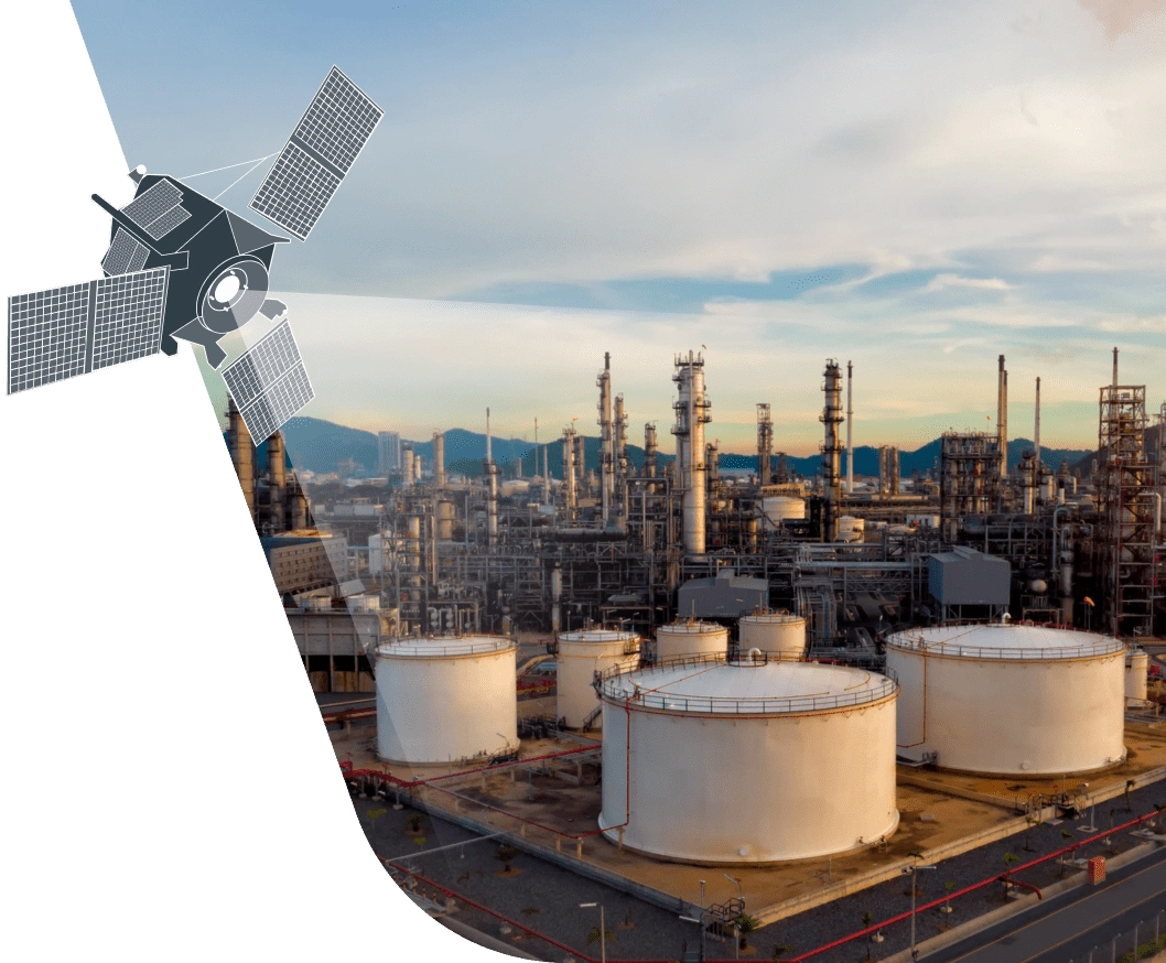
The current state of the oil products market is forcing every single company in the industry to think about boosting its technology intensity and improving the reliability of its facilities for producing, transporting and storing oil and gas products.
Case Studies
Areas of Application
In 2015-2016 years US department of transport has registered 860 cases of pipeline accidents for total damage of $350 mln. EOS.com helps to address challenges connected with monitoring and analysing oil industry infrastructure.
Our algorithms can be applied by oil and gas companies across a wide spectrum of tasks. And they can be used both to tackle issues on a local scale and, on a much larger scale, to analyse facilities that extend over great distances.
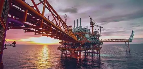
Oil Production
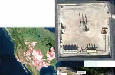
In most cases, oil wells are located in remote corners of the Earth, but operations managers need precise and accurate information on the installation status of the company’s oil production facilities.
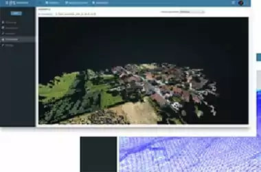
EOS.com can be used to build 3D models of infrastructure facilities and to analyse them for changes, to classify them by category and to calculate their volume. This functionality is being actively applied to analyse oil wells, especially during the installation stage.
For oil wells all over the world we have a unique set of historical images with a resolution of up to 1 metre. You can use this set of geospatial data for a change detection analysis in any area of the Earth’s surface of interest to you and to supervise oil rig relocations.
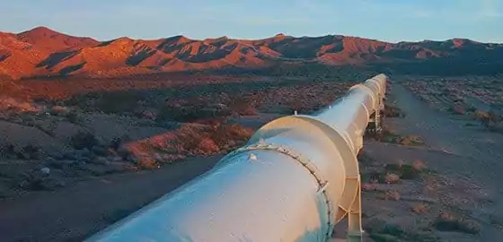
Pipeline Transport
The most pressing issues for pipeline operators are monitoring the pipeline’s integrity across its entire length and preventing accidents and access by third parties intent on stealing the pipeline’s contents.
These problems are directly linked to the safety of the environment, local residents and infrastructure facilities in the immediate vicinity of the pipeline route. In addition, in the event of an accident, pipeline operators, like oil companies, incur substantial moral and financial losses.
EOS.com features a broad functionality enabling an integrated solution to the problems of pipeline monitoring.
With the help of our partners
you can order or use archive images of your pipeline over any distance
Landscape classification divides all objects along the pipeline buffer zone into the following categories:
- residential housing;
- industrial buildings (hangars, pavilions);
- construction sites;
- woodlands;
- water bodies.
Counting and analysis of all classified objects, analytical reports broken down by:
- number of residential buildings, industrial buildings and construction sites along the pipeline buffer zone, over what distance they are present and what percentage of the total length they occupy;
- calculation of the area covered by woodlands and water bodies within the pipeline buffer zone.
Analysis of radar images to identify:
- spills, by direct and indirect methods (change in surrounding vegetation);
- changes to the landscape in the immediate vicinity of the pipeline centre line;
- places where water accumulates;
- erosion and ground displacements.
Change detection in classified objects:
- monitoring of all changes to the landscape;
- classification of changes by type of landscape;
- calculation of the number of changes during a specific period.
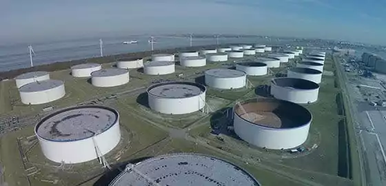
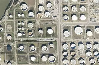
Oil Storage in Depots
For oil storage facilities it is extremely important to know which tanks are filled and how full they are in order to control and allocate oil products arriving at the site.
To monitor tank volumes EOS.com applies its own algorithms using calculations based on neural networks. These calculations include identifying and calculation of shade heights identifying the level of oil in each individual depot.