Surface Subsidence

Problem Statement:
Ability to monitor aquifer ground elevation subsidence as an early indicator of aquifer failure.
Unique Solutions:
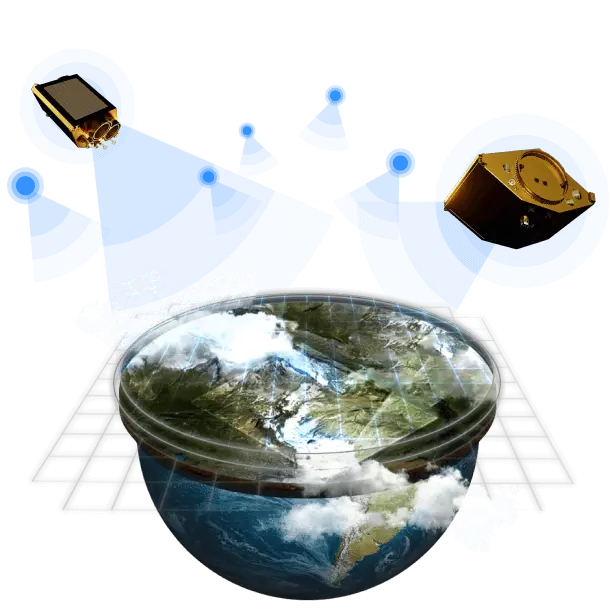
Change detection indicating subsidence with InSAR methods will be made possible through the use of satellite data (Sentinel 1).
Customer Benefit:
Cost effective, highly scalable, and accurate state-wide subsidence detection to prevent aquifer degradation.
All Environment, Pollution And Climate Case Studies: