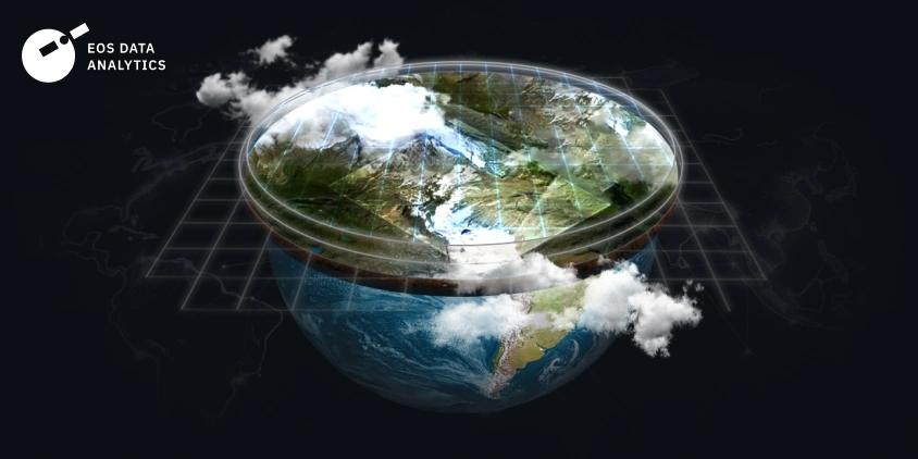
Environmental research requires different tools, and satellite analytics are definitely among them. Getting high-resolution images and diverse indices with them can help with an in-depth understanding of the research issue and allow scientists to complete it while staying in the comfort of their office. It is especially crucial if, for some reason, they cannot access the location directly, like if it is remote, or if they require data that cannot be gathered on the ground, like historical data.
One such tool is EOSDA LandViewer, a real-time satellite imagery tool that allows on-the-fly searching, processing, and getting valuable insights from satellite data to tackle real business issues. We talked with Serhii Klimov, a National University of Water and Environmental Engineering scientist, and Viktoriia Troian, product manager, to reveal how scientists use such platforms, what they find useful there, and how they can approach the project using sat data. Serhii shares his students’ and colleagues’ experiences, as well as his own, with the platform, while Viktoriia gives insights into the clients and updates on the EOSDA LandViewer for 2025. Take a look.
What Is EOSDA LandViewer, In Your Own Words?
Viktoriia: EOSDA LandViewer is a satellite imagery tool designed to make searching, processing, and analyzing satellite data easy. It helps businesses and researchers gain valuable insights without needing deep technical expertise. We focus on industries like agriculture, construction, and environmental studies, constantly expanding our features to better serve these fields. We have over a million users worldwide and cover all geos. Right now, we have 45 satellites of different caliber present on the platform.
In 2025, we’re refining the product to support underrepresented industries like construction better. This means adding specialized indexes, band combinations, and new datasets, including digital terrain models, land cover data, and environmental indicators like weather and water resources.
We’re also working on making the tool more user-friendly. For example, we want to help non-experts understand satellite data — how it works, its limitations, and how to find what they need. We might even introduce personalized onboarding for different industries, so someone just looking for a satellite image of their house won’t feel lost among advanced features.
Why Do You Enjoy This Product?
Viktoriia: Honestly, it wasn’t love at first sight! In the beginning, I found this platform complicated and couldn’t understand who was using it and why. But everything changed when we started conducting customer interviews.
I met real users — scientists, farmers, environmentalists, and even real estate professionals — who rely on EOSDA LandViewer in their daily work. Seeing how our tool helps people save time, money, and effort made me appreciate its impact. It’s amazing to think that satellites orbiting in space can provide critical data that solves real-world problems here on Earth!
Serhii: EOSDA LandViewer is fairly intuitive. My students particularly appreciated the well-organized interface and the fact that all satellite data is centralized in one place. Having Landsat images and and Sentinel data easily accessible saved a lot of time.
How Do Scientists Use EOSDA LandViewer? And How Often Do They Reach Out To Us?
Serhii: I use it in my hydrotechnical research and teaching. For example, after the destruction of the Kakhovka Dam, we analyzed how freshwater was being displaced into the sea and the environmental impact on the Black Sea region. EOSDA LandViewer allowed us to track these changes remotely, which was invaluable.
Many of my colleagues frequently use satellite data for research. For example, I’ve worked on projects related to water quality monitoring, flood risk analysis, and hydrotechnical infrastructure planning. As climate change accelerates, remote sensing tools like EOSDA LandViewer become even more critical.
Viktoriia: Scientists and researchers are one of our top five user groups. While we don’t have a detailed count of scientific inquiries, our industry analytics show that around 20% of our users are scientists, GIS specialists, or researchers. We regularly receive requests from institutions worldwide, including from Australia, Belgium, Brazil, and Ukraine. Some researchers study shoreline changes in occupied territories, while others use our data for environmental monitoring.
Many scientists discover us independently, not necessarily through our marketing channels.
What Did You Like (Or Dislike) About The Platform?
Serhii: The interface is user-friendly, and having Ukrainian language support is a huge plus. The structured satellite data makes it easy to compare historical and current imagery. One minor challenge is copying certain index data — it’s not as seamless as exporting full datasets. Improving this could enhance usability.
Viktoriia: It’s great to hear such positive feedback! We know that easy access to historical satellite data is one of EOSDA LandViewer’s biggest strengths. As for the indexing feedback, it’s helpful to understand user pain points so we can refine our features accordingly.
Are There Any Notable Research Projects Using LandViewer?
Viktoriia: We don’t have a formal database tracking research projects, but I know of a few. Some studies focus on shoreline changes, while others involve livestock production modeling in Brazil or landslide analysis in Peru. These real-world applications demonstrate how valuable EOSDA LandViewer’s data is for scientific work.
Do Users Make Unusual Requests? And How Do We Decide Which Features To Develop?
Viktoriia: Yes! Many people ask about high-resolution satellite images, which is a growing trend. But we also get some unexpected requests — like people wanting to use satellite images to find lost treasure or prove an accident for a court case. Unfortunately, satellites can’t zoom in to see something like a car license plate. Understanding the limitations of satellite data is important!
We take user feedback seriously. We conduct customer development interviews, analyze product surveys, and prioritize updates based on how many users need them and how feasible they are to implement. Our goal is to make the product as valuable and accessible as possible, ensuring that updates align with real user needs rather than just assumptions.
What Should New Users Know Before Getting Started? And How Do We Welcome Them?
Viktoriia: To get started, please check out the welcome email for all users. It includes video guides and tutorials. Start with the free version to explore features before diving into complex analysis. Ready-made indexes like NDVI (normalized difference vegetation index) and NDWI (normalized difference water index) will then be used for quick insights. Enable notifications to get updates on new satellite images for your area.
For scientists, the process is slightly different. Choose the right satellite data: Landsat and Sentinel are great for long-term studies, while high-resolution images work best for detailed analysis. Leverage time-series analysis to track trends and predict future changes. Try using tools like Change Detection to analyze environmental or human impact. Then, download data in GeoTIFF for further GIS processing or integrate it via WMS without downloading.
New users receive a welcome email I mentioned before with learning resources. Those with corporate emails from target industries may also get a personal demo from our account manager. Our customer success team handles most inquiries, while product managers like me focus on developing the platform.
Do Users Contact You Directly?
Viktoriia: Only if they sign up for a customer interview! Otherwise, they usually interact with our support team.
In conclusion, EOSDA LandViewer is a great solution for all kinds of users. It has a diverse client base ranging from those who lead deep environmental analytics to those who want to see beautiful high-resolution images of the Bahamas. Tools like these can potentially help millions of people, and EOSDA is proud to call it our own.
Need a solution tailored to your business goals? Book a call with our team to see how we can help.

More news
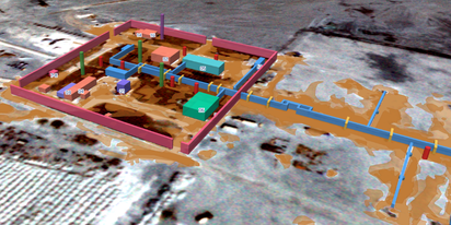
EOSDA tracks construction progress in the UAE PAD areas
Managing rapid industrial expansion in the UAE requires accurate data. See how our satellite-based solution helped a client verify construction milestones and reduce inspection costs.

Validating satellite tech for flood analysis and damage mapping in Coimbra
Can satellites improve disaster response? We explored this in the Coimbra district, showing how integrated satellite intelligence can assess flood impacts and fill critical data gaps during a crisis.

EOSDA advances rice field mapping in Indonesia with SAR
EOSDA tested a radar-based approach to improve rice field detection in Indonesia. By integrating SAR and optical data, the team ensured stable monitoring even during peak monsoon months.