We Urge
Satellite Imagery Firms and
Space Agencies to Stand With Ukraine
“The economic, political, and humanitarian consequences of the war in Ukraine already are too high to stand on the sidelines. If you can help us, please provide the SAR data that actually makes a difference. Outdated optical satellite imagery is applicable for PR purposes and as evidence of war crimes for future international criminal court proceedings. Ukraine needs actionable intelligence to be able to save the millions of innocent people and the sovereignty of the country”.
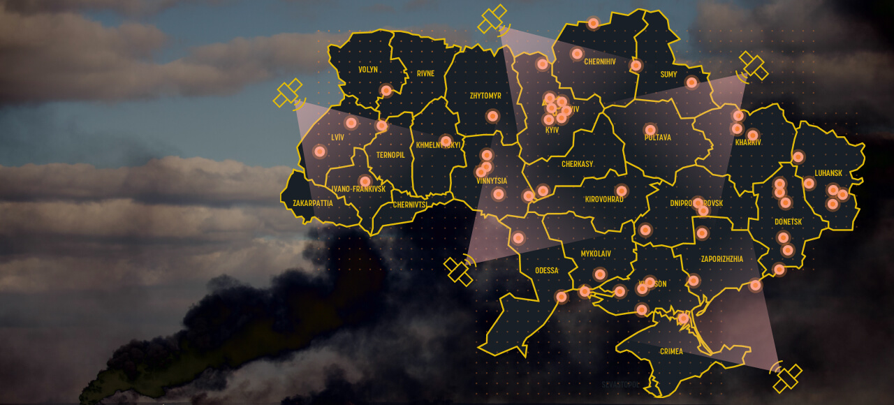
We urge all global entities operating in the remote-sensing field to share recent and real-time high-to-medium resolution optical and radar satellite imagery of Ukraine and Eastern Europe with EOSDA to assist in both military and humanitarian efforts in the region.
EOSDA team has updated the platform to be able to immediately analyze the military situation in an effort to save lives and help bring about peace. Data will be processed, analyzed, and shared in real-time with Ukraine’s Armed Forces and humanitarian organizations.
The Request
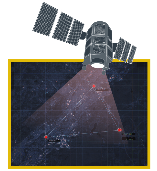
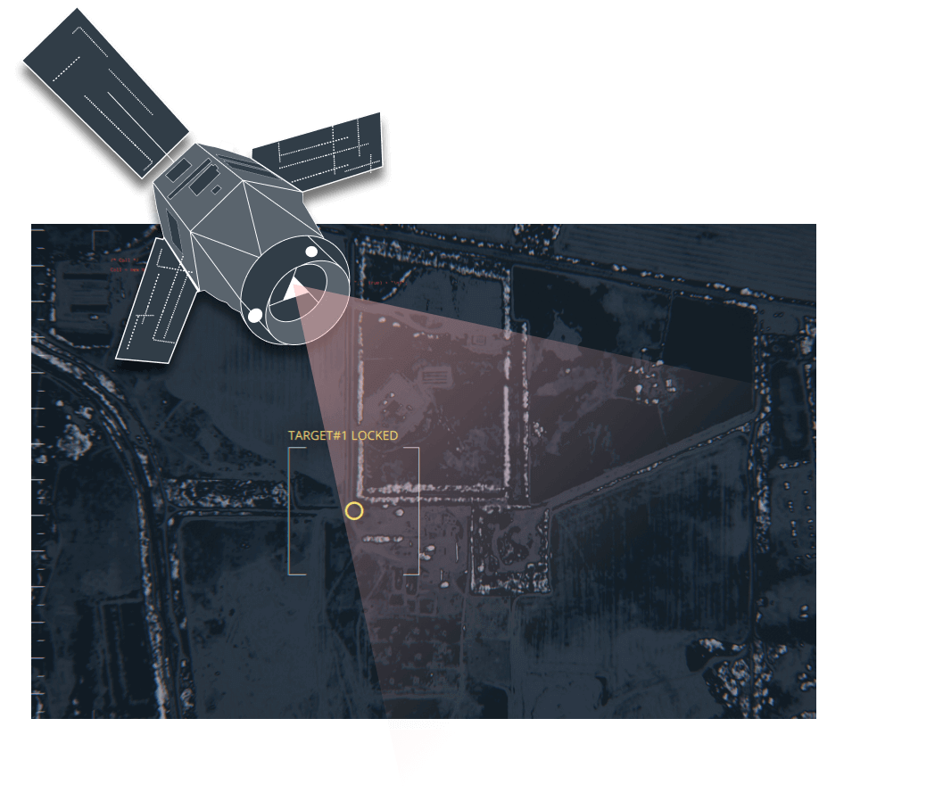
Сurrent/live SAR data will provide situational awareness and relevant intelligence regarding enemy troops and equipment activities (especially refueling operations) during the night and irrespective of cloud coverage, which is impossible with optical data.
We are appealing to Capella, Iceye, IQPS & Synspective, Spacety, Airbus, COSMO SkyMed, Sar-Lupe, Umbra to provide SAR data and Planet, MAXAR, Airbus, SIIS, Space View, Blacksky and other companies to provide optical data.
EOSDA understands that some data providers may face certain restrictions when engaging with a private company in Ukraine. If that is the case, data suppliers will be put in touch with Mykhailo Fedorov, the Minister of Digital Transformation of Ukraine as well as other government and security officials for direct data delivery and/or sanctioning of further processing by EOSDA.
Companies with data should contact ukraine@eos.com.