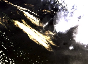
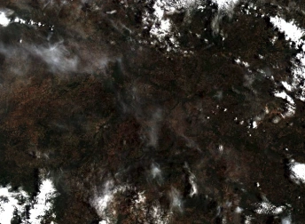
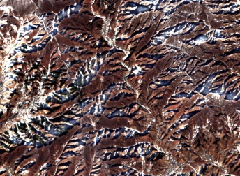
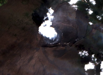
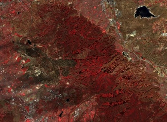
Satellite Image Of Canadian Wildfires From Sentinel 2
- Location
- Satellite Image Of Canadian Wildfires From Sentinel 2
- Coordinates
- 59.78751°N 128.27774°W
- Satellite
- Sentinel-2
- Tags
For downloading the image create an account or login to the system

For downloading the image create an account or login to the system