Applicable ag business solutions thinking of your needs - deep dive into details, high expertise and continuous support
- We always deliver on time
- Our team can handle any project
- Assured results with top-notch tech
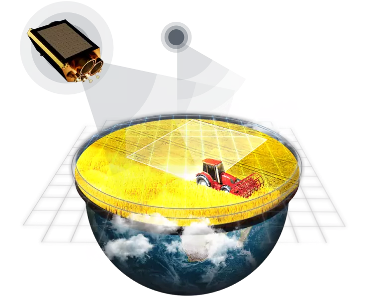
Complex Tasks Require Up-to-date Technologies
Satellite Data & Imagery
Synthetic Aperture Radar Imagery
Big Data Processing
Proprietary Algorithms
Neural Networks & AI
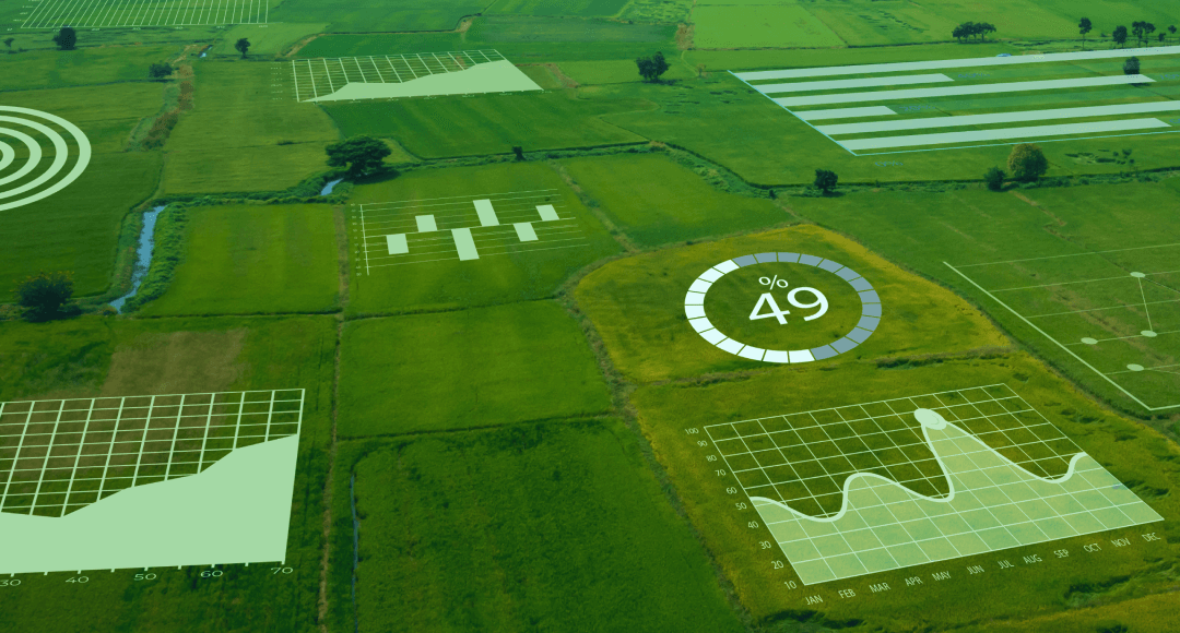
Solutions we have at our fingertips
Yield Prediction
Improve your crop production management strategies by estimating how much yield you can get from any crop for an upcoming season based on historical data trends.
- Accuracy of estimates over 90%
- Yield prediction on any scale: field, region, country
- We can narrow down yield prediction to a single crop type
- Multi-level algorithm based on 10 different sources of data
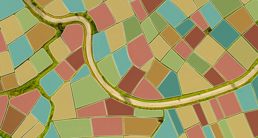
Crop Type Classification Maps
Keep abreast of the ag market trends with an accurate crop distribution map - plan your strategy smartly
- Up to 90% accuracy
- Model calculates total area of each crop on map
- You get ready 10-m resolution cropland masks in .geotiff or .shp formats
- Classification of crops for current and past seasons
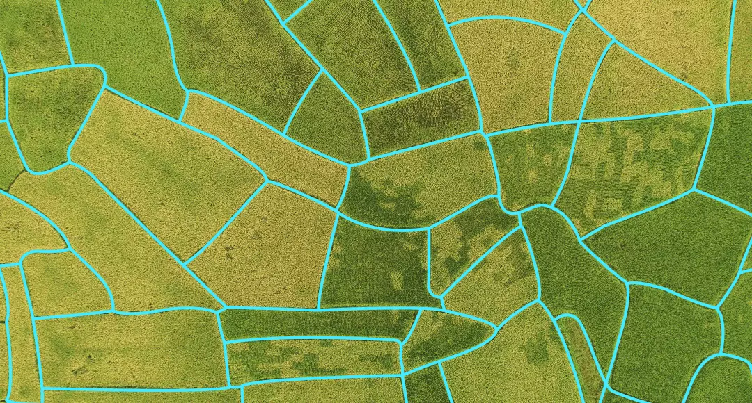
Field Boundaries Detection
Field boundaries detection allows you to outline all the fields within a whole region, find out their total area, and get this data as convenient .shp or .geotiff files.
- Complete contour masks as .shp or .geotiff files
- Current and past seasons
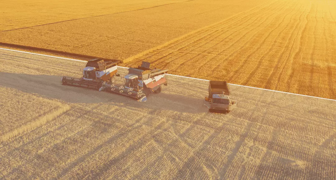
Harvesting
Harvest Dynamics Monitoring
Learn the harvest dynamics over several seasons to enhance planning using quantitative data, such as harvest dates, total number of fields, and total hectarage of harvested fields.
- Harvested and non-harvested hectarage calculation
- Radar imagery from Sentinel-1 + Optical imagery from Sentinel-2
- Technical report contains all necessary harvest statistics
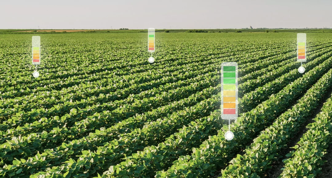
Advanced Soil Moisture Mapping
Accurate soil moisture monitoring at both surface and root zone levels allows for more precise crop yield estimations and reveals important climate trends over time.
- Soil moisture at a surface level (0-7cm)
- Soil moisture at root zone (up to 70 cm)
- 250m resolution for large-scale data analysis
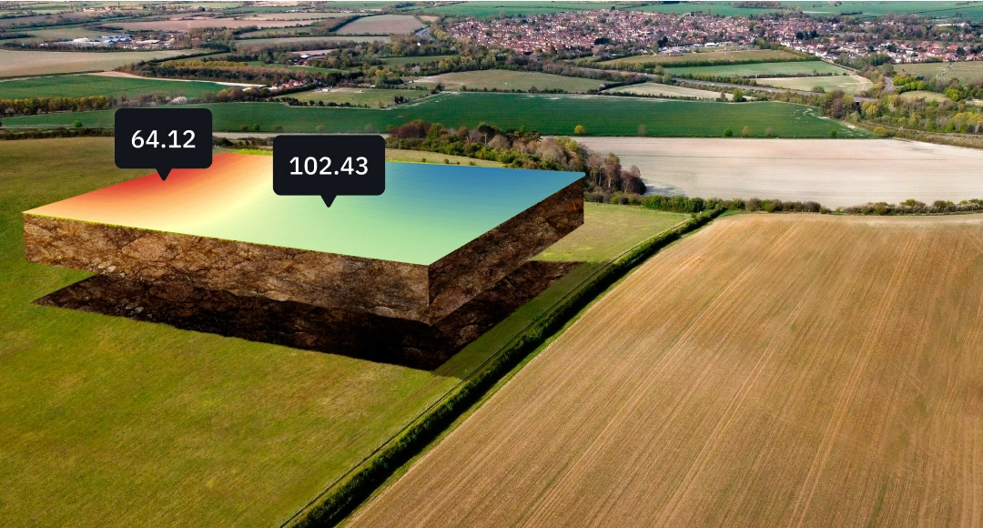
Soil Organic Carbon
We use soil organic carbon (SOC) models in tandem with our satellite monitoring solutions to maximize cost efficiency and accuracy of carbon predictions for carbon project developers.
- Save up to 90% on soil samples
- Predict soil organic carbon contents for up to 20 years ahead
- Increased accuracy thanks to advanced number of predictors (up to 140) and adaptability of SOC model to different terrains, climates, crops

Custom Solution Upon Request
New challenges mean new opportunities. Task us with a brand new custom solution to your problem.
- 150+ experienced R&D staff
- Team of scientists led by 5 Professors and 15 PhDs
- We've produced solutions for 5.5 million fields
Trusted by: