Finance and insurance
Validate claims and assess risk using satellite data. Get objective, portfolio-scale evidence to confirm events, measure impact, and accelerate underwriting and payouts.
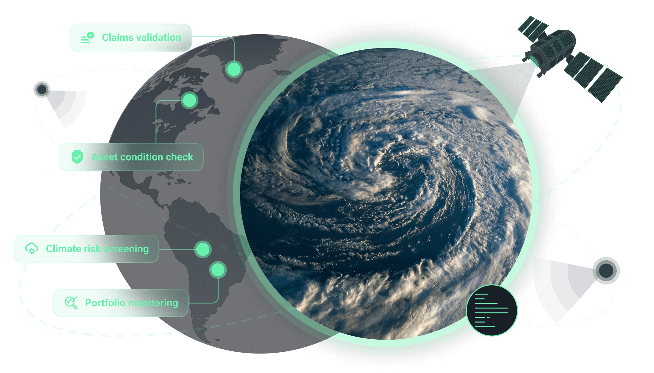
How we support operations in finance and insurance sectors
Core benefit:
Confirm losses with objective satellite-derived data and limit false payouts.
Core benefit:
Slash inspection costs with remote verification of asset conditions.
Core benefit:
Define precise flood boundaries and extent for rapid, fair claim settlements.
Core benefit:
Assess loss magnitude faster with detailed burn extent mapping.
Core benefit:
Spot vulnerable assets by identifying hidden hazard trends in advance.
Core benefit:
Future-proof portfolios with ongoing monitoring and alerts on asset changes.
Solutions for finance and insurance needs
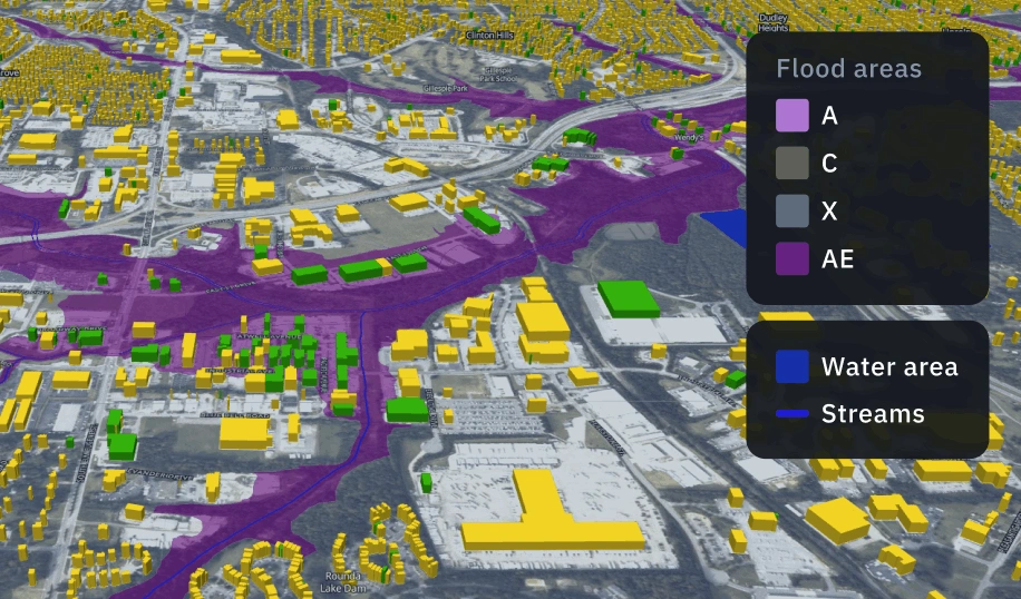
Damage mapping
Quickly identify flood-affected areas, damaged assets, and contamination zones to speed up response, verify claims, and minimize losses.
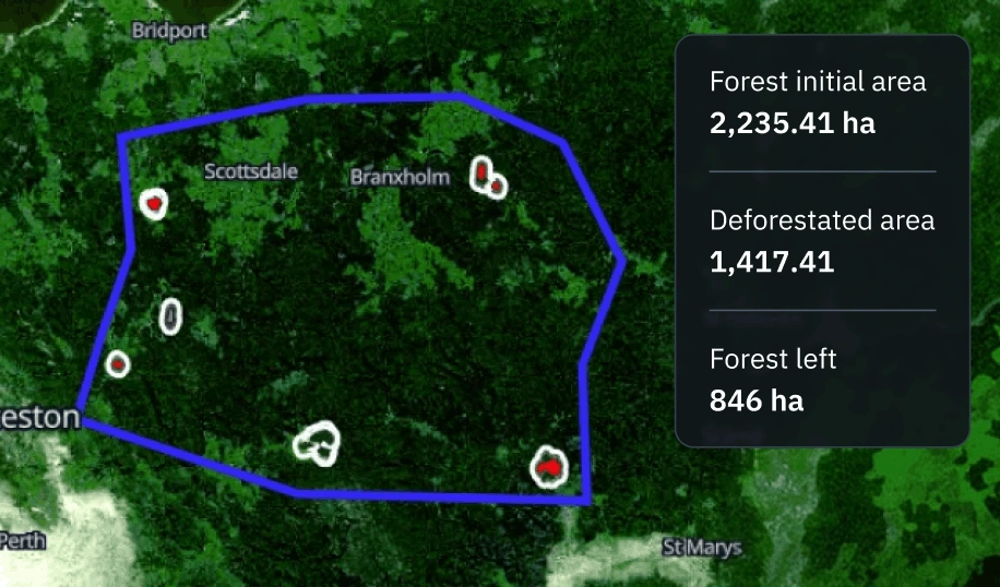
Deforestation detection
Use satellite imagery to monitor forest cover change at scale. Detect forest loss early, receive timely alerts, and use clear maps to support enforcement actions, reporting, and restoration planning.
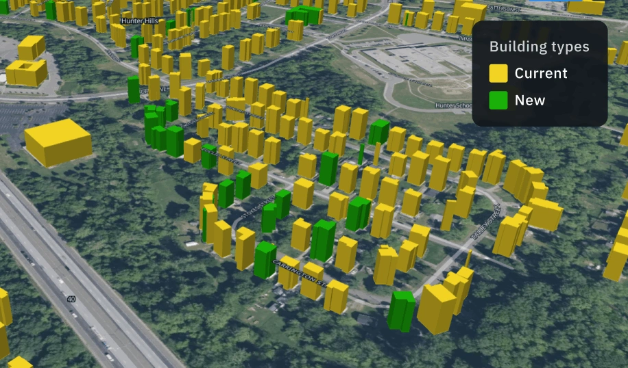
Construction progress assessment
Monitoring construction progress across large or remote sites. Receive regularly updated visual proof to track timelines, verify contractor performance, and reduce on-site inspection costs.
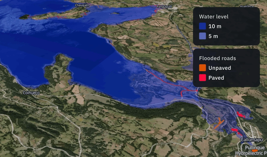
Flood risk and extent analysis
A remote sensing solution for detecting flood extent and evaluating risk across large territories. Combine multi-source satellite data and terrain models to identify vulnerable zones, quantify impact, and track post-event recovery.
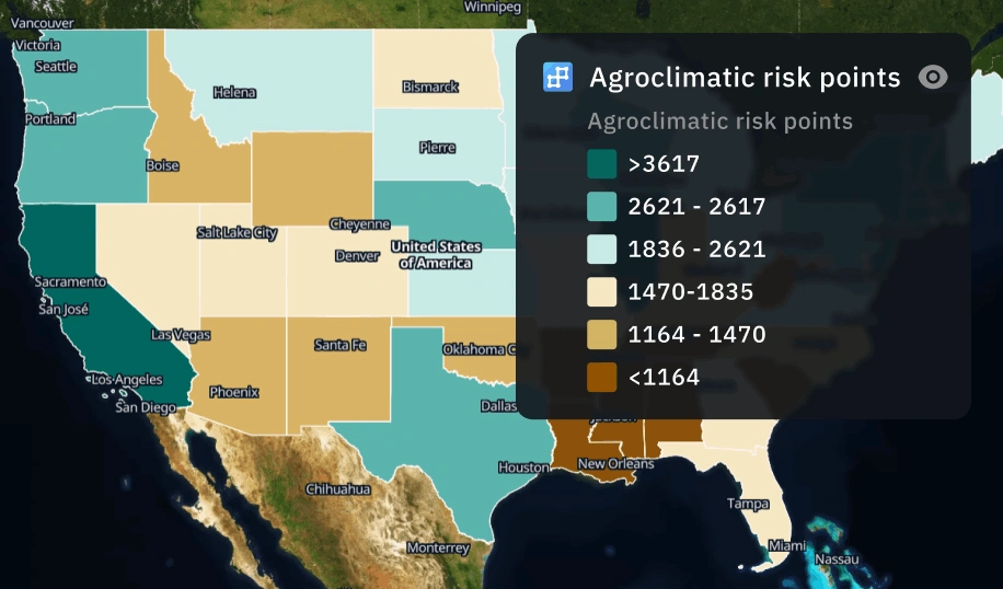
Climate risk analysis
Assess climate risks with satellite-based insights. Our solution monitors yield volatility, drought impacts, heatwaves, and more to reduce exposure and guide sustainable planning.
The outputs we deliver
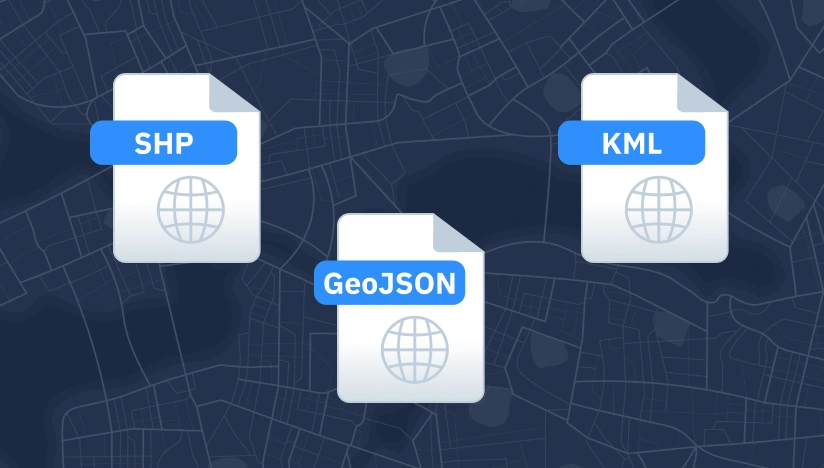
Original data layers
Receive GEOJSON / KML / SHP datasets and upload them wherever you want.
Decision-ready PDF report
Actionable report summarizing key findings for rapid response and easy sharing.
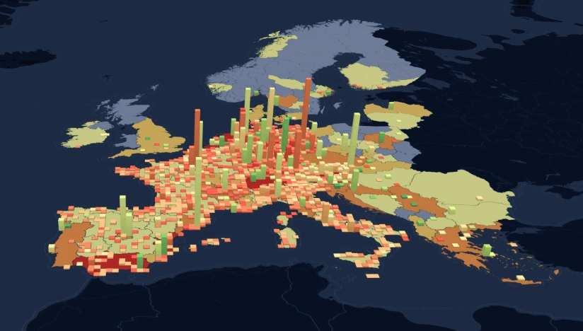
Interactive smart map
Cloud-based interactive map with 3D view for clear visualization and spatial analysis.
Why choose us for finance and insurance
Delivery that fits operations
Results land as data layers, interactive maps, and reports with KPIs your team can use immediately.
Reliable outputs every time
Complex validation approach reduces manual fixes and keeps outputs consistent across time and areas.
Deploy fast, scale anywhere
Launch quickly and scale as you need thanks to our reusable ML components and processing pipelines.
Insights instead of raw layers
We deliver actionable alerts, metrics, critical changes, not “more data” your team has to interpret.
Spot changes against a clear baseline
We establish a reliable baseline per AOI first; then, continuously flag new objects and changes.
Clear view no matter the visibility
Optical, SAR, or hybrid observation ensures coverage despite clouds, smoke, regional constraints.