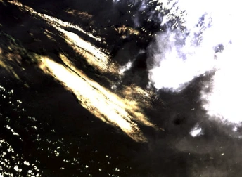
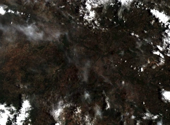
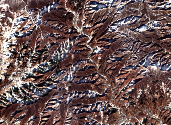
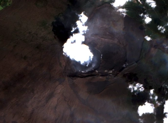
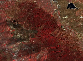
Satellite Image Of California Fires, USA
- Location
- Satellite Image Of California Fires, USA
- Coordinates
- 39.32049°N 122.54837°W
- Satellite
- Sentinel-2
- Tags
For downloading the image create an account or login to the system

For downloading the image create an account or login to the system