EOSDA Blog

Top Articles
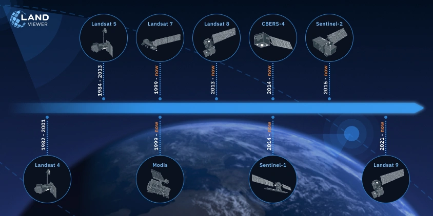
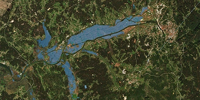
Historical Satellite Images: Accessing The Old Data
Decades of space-based imagery are now at your fingertips. Historical satellite images reveal the past and can guide your next move — whether you’re a farmer, eco-activist, city planner, or scientist.

All articles
Popular tags
LandViewer integrates Satellogic high-frequency imaging
LandViewer has expanded its high-resolution monitoring options by integrating Satellogic NewSat data. This update provides more frequent revisits and detailed imagery for tracking daily changes.
Validating satellite tech for flood analysis and damage mapping in Coimbra
Can satellites improve disaster response? We explored this in the Coimbra district, showing how integrated satellite intelligence can assess flood impacts and fill critical data gaps during a crisis.
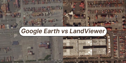
What’s Better Than Google Earth For Professional Use?
Is the resolution of free maps too low for your project? LandViewer offers a professional alternative to Google Earth with up to 0.3m imagery and daily revisits to ensure you never miss a detail.
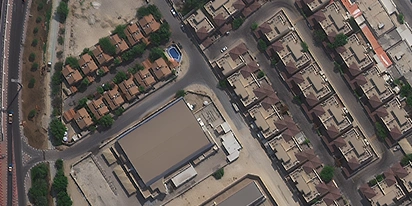
Can I See A Real-Time Live Satellite View Of My House?
Can you view live satellite images of your house? Discover how to find, preview, and buy high-resolution images of your property for planning or monitoring.

EOSDA advances rice field mapping in Indonesia with SAR
EOSDA tested a radar-based approach to improve rice field detection in Indonesia. By integrating SAR and optical data, the team ensured stable monitoring even during peak monsoon months.
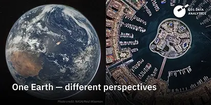
From the Moon mission to practical Earth solutions
Space technology allows us to look further than ever before, but its value is twofold: as the NASA Moon mission explores new frontiers, we use that same vantage point to solve Earth problems.

EOSDA to Monitor Wildfires in Portugal Using Satellite Data Under ESA’s InCubed Programme
The company signed a contract with ESA to create an innovative satellite-based solution for forest monitoring and wildfire prevention.

EOSDA Forecasts Yields For 2025 In Saskatchewan
EOSDA created RM-level crop yield forecasts for Saskatchewan to address limitations of official data. The project shows how satellite and weather inputs reveal local yield changes during the season.

Digital Tools Improve Soil Health And Yields In Mexico
EOSDA and ITTA supported a Guanajuato farm with contour-line planning, monitoring tools, and practical guidance to reduce soil erosion and improve yields in the long run.