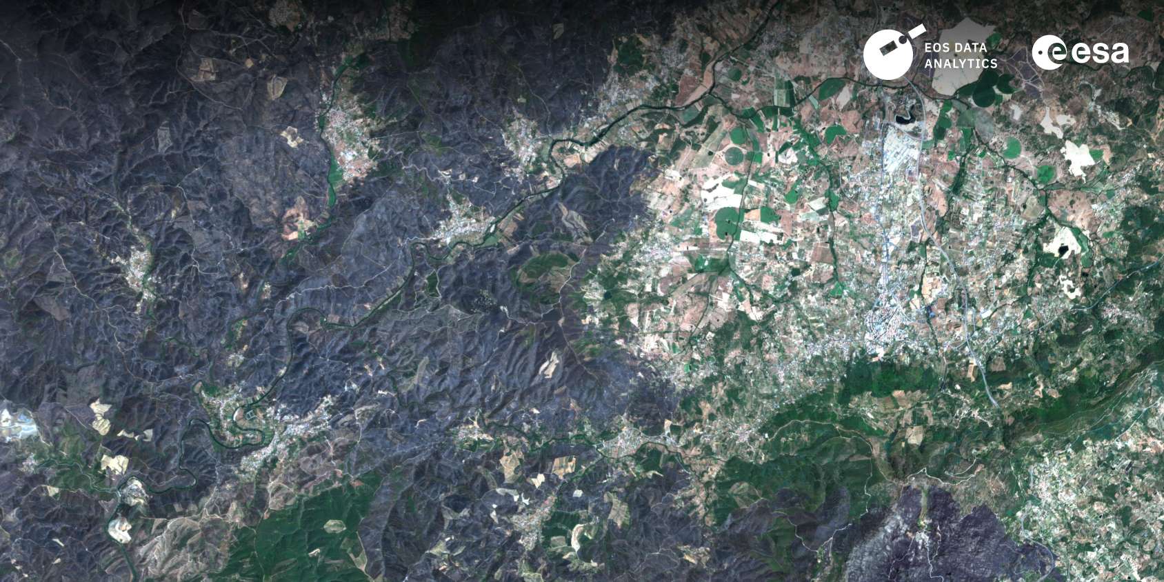
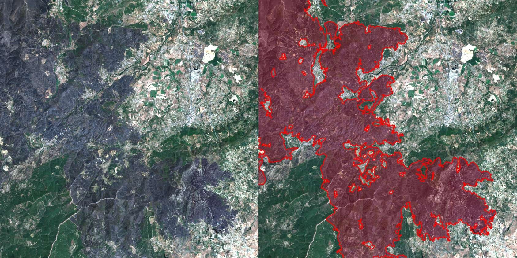
In 2025, the Coimbra Region in Portugal experienced its worst wildfire season, with over 64,000 hectares burned. Across Portugal, 270,000 hectares were destroyed. To help prevent a repeat, EOS Data Analytics, partnered with EOSSAT (Portugal), signed a contract with ESA to create an innovative satellite-based solution for forest monitoring and wildfire prevention.
The project launches in March 2026, funded by ESA InCubed—an Earth Observation programme managed by ESA Φ-lab that supports the development of innovations and commercial applications for Earth observation-based products. EOSDA, together with local partner CIM Coimbra (Intermunicipal Community of Coimbra Region), will cover 19 municipalities (4,336 km²) in the entire region, identify forest fire risks, support prevention, evaluate losses, and plan post-fire forest recovery.
Through InCubed, ESA supports the transition from Earth Observation data to services that address real-world challenges. We encourage solutions that are scalable and produce clear outputs. The project in Coimbra, which we are working on with EOSDA, is a clear example of how satellite technology can support a local organisation in assessing wildfire risk and impacts and informing restoration planning. This is how space technology delivers benefits to people’s daily lives, and it is what the InCubed programme aims to reinforce.
More than 45% of the Coimbra Region is covered by forests. Traditional risk assessment methods, such as ground-based inspections, terrestrial sensors, and local procedures, are slow and expensive for large territories. EOSDA’s solution combines data from the EOS SAT-1 satellite (3 m resolution) with automated processing and expert validation. As a result, municipalities of Coimbra will receive quarterly maps of forest changes, burned areas, and restoration progress via SADGE (CIM Coimbra’s Decision Support and Emergency Management Geospatial Platform).
We are truly committed to reducing forest fire impact on communities and the environment. With 12 years of advancing spatial forest monitoring technologies, and through a range of Earth observation solutions we deliver to business customers, we now apply this experience to enhance wildfire resilience in the Coimbra Region in Portugal. This project has significant potential to scale up to other regions and countries facing wildfire danger.
The project is planned for 12 months, during which it aims to demonstrate the effectiveness of satellite monitoring in reducing wildfire risks.
Turn high-tech satellite data into actionable solutions for your business.

More news
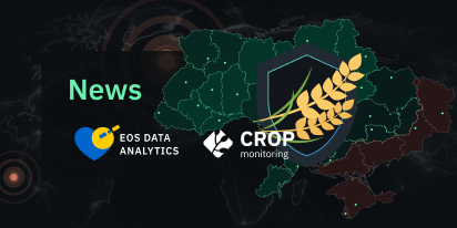
EOSDA Launches ‘Harvesting Hope’ For Ukraine
EOSDA launches the 'Harvesting Hope' initiative to inform the world about Ukraine’s agricultural crisis, providing analytics on yields, sown areas, and production from 2021-2024.
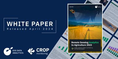
EOSDA Airs White Paper On Remote Sensing In Agriculture 2023
Discover EOSDA's latest white paper on the adoption and impact of satellite imagery analytics in agriculture in 2023. The doc covers key trends, market overviews, and advancements in AgriTech.
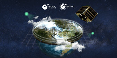
EOSDA In 2023: A Year Of Satellite Launch And Growth
In 2023, EOSDA’ achievements include the launch of its first satellite, expanded market presence through the growth of its Partner Network, and deployment of new features in its products.