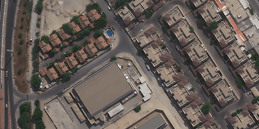
If you’ve ever tried to see your house from satellite on a free map and found a grainy image from three years ago, you know how frustrating it can be. For real tasks — like checking plot boundaries, monitoring construction progress live, or assessing damage for insurance claims — you need something better. LandViewer gives you access to the same powerful satellites used by professionals, but in a way easy for anyone to use.
In this article, we’ll look at real stories of people using high-resolution live satellite views of homes to save money and time. You’ll also find a simple guide to getting a high-definition view of your own house today.
Key takeaways
- Getting a clear, up-to-date satellite view of your house requires high resolution, frequent revisits, and cloud filtering — features most free map tools lack.
- Professional-grade satellite platforms, such as LandViewer, offer resolution up to 0.3m and daily revisits, letting homeowners see roofs, backyards, and surrounding structures in sharp detail.
- High-resolution satellite images of your house can be used for settling property disputes, tracking remote construction progress, spotting vacant lots, measuring property boundaries, and assessing disaster damage for insurance claims.
- No technical skills are needed to get a satellite view of your house: just search your address, filter by date or resolution, and download from the archive or order the new image that fits your needs.
Your house from space: What can you actually see?
When you search for your house from space, you’ll quickly realize that not all satellite tools are equally useful. To clearly see a house live as it looks now, you need high imagery resolution, frequent satellite revisits of your area, and, ideally, in-built cloud filtering.
Most people start with Google Earth or basic online maps, offering low or medium resolution. They are fine for navigation, but can disappoint if you need a live view of your house , since:
- house looks like a blurry square;
- views are months or even years old;
- no cloud filtering.
If you want to view your house in detail, you need a professional platform with live satellite images like LandViewer. While free tools struggle to show a building clearly, LandViewer connects you to the world’s most powerful satellites — like Beijing-3B, NewSat, SuperView NEO-1, and BlackSky Gen-3, — which offer the best resolution available today. Instead of a grainy view from three years ago, you get:
- high level of detail and clarity;
- access to the latest satellite imagery of your house;
- smart cloud filtering for clear visibility.
Get the latest satellite views of your realty
Getting a professional-grade live satellite view of your house shouldn’t be complicated. LandViewer simplifies things by bringing powerful imaging and analytics directly to you. It’s designed to give you clarity and peace of mind by letting you:
- See changes as they happen. You get access to satellites with high revisit times. While Triplesat, SuperView NEO-1, and SuperView 1 update images daily, NewSat flies 4 times a day and BlackSky Gen-3 even 15 times, so you always have the latest satellite view of your house.
- Spot even small details. With a resolution of 0.3m (from top satellites like SuperView NEO-1), you get enough clarity to see your roof, backyard, and surrounding structures clearly .
- Analyze entire sites, not just buildings. You don’t need to be a scientist to use NDVI, NDWI, or other indices. These analytical layers are included in LandViewer to show you plant health or water levels on your plot. If you’d prefer not to analyze the data yourself, our in-house scientific team can handle this for you on request.
- Get images on your schedule. With the satellite tasking feature, you aren’t limited to what’s already in the imagery catalog. You can request a new high-resolution satellite view of your home from over 14 different satellite sources whenever you need it.
To give you a better idea of what this looks like in action, let’s explore how people are already using high-resolution live views to solve everyday site management tasks.
Real-world LandViewer uses to solve your own tasks
We see people using LandViewer for all sorts of ordinary and down-to-earth tasks. These real-life stories show how users view realty changes live and manage land projects with just a few clicks. You can solve your daily tasks just as easily.
Prove a building was already there
You need to prove that a building has been on your land for years to settle a legal dispute. With historical high-resolution images from LandViewer, you can easily trace back in time and see exactly when the structure first appeared. This simple, time-stamped view will serve as solid evidence to settle your ownership dispute.
Monitor remote real estate and construction
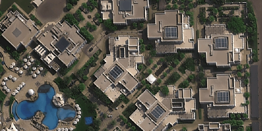
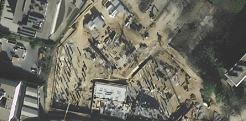
Just like an investor building villas in Bali, you can use live satellite views to check on progress without visiting your site. Using LandViewer, you can compare older views with live ones to see the houses go up. It’s a simple way to stay in control of a project from thousands of miles away.
Measuring plot without a surveyor
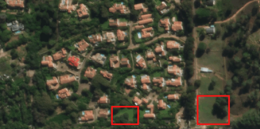
Instead of hiring a surveyor to measure the plot size, you can use a satellite map with visible boundary lines to calculate the area yourself. You’ll get a clear view of your land’s dimensions and perimeter from above. Thus, you can save money and simplify your land layout planning.
Evaluate sites and spot new neighborhoods
LandViewer allows you to see quickly which houses and plots have issues and which are worth a visit without driving for hours inspecting every lot. By checking live views from space regularly, it’s also easy to identify new neighborhoods before your competitors even know they exist. This helps you create a satellite map of home values in the area, find the best deals, and reach out to owners early.
Assess damage after a disaster
After a major flood, an insurance company examined live satellite views to see which houses were hit hardest. Just like them, you can skip the wait for field inspectors by spotting affected areas from orbit. It’s the best way to assess the damage remotely, process claims faster, and get help to people without delay.
How to get recent high-resolution satellite views of your house on LandViewer
Don’t let the fancy term “high-resolution satellite imagery” intimidate you. Finding a clear live view of your house is very straightforward, even if it’s your first time. If you’re ready to see your house in high definition, follow these four easy steps.
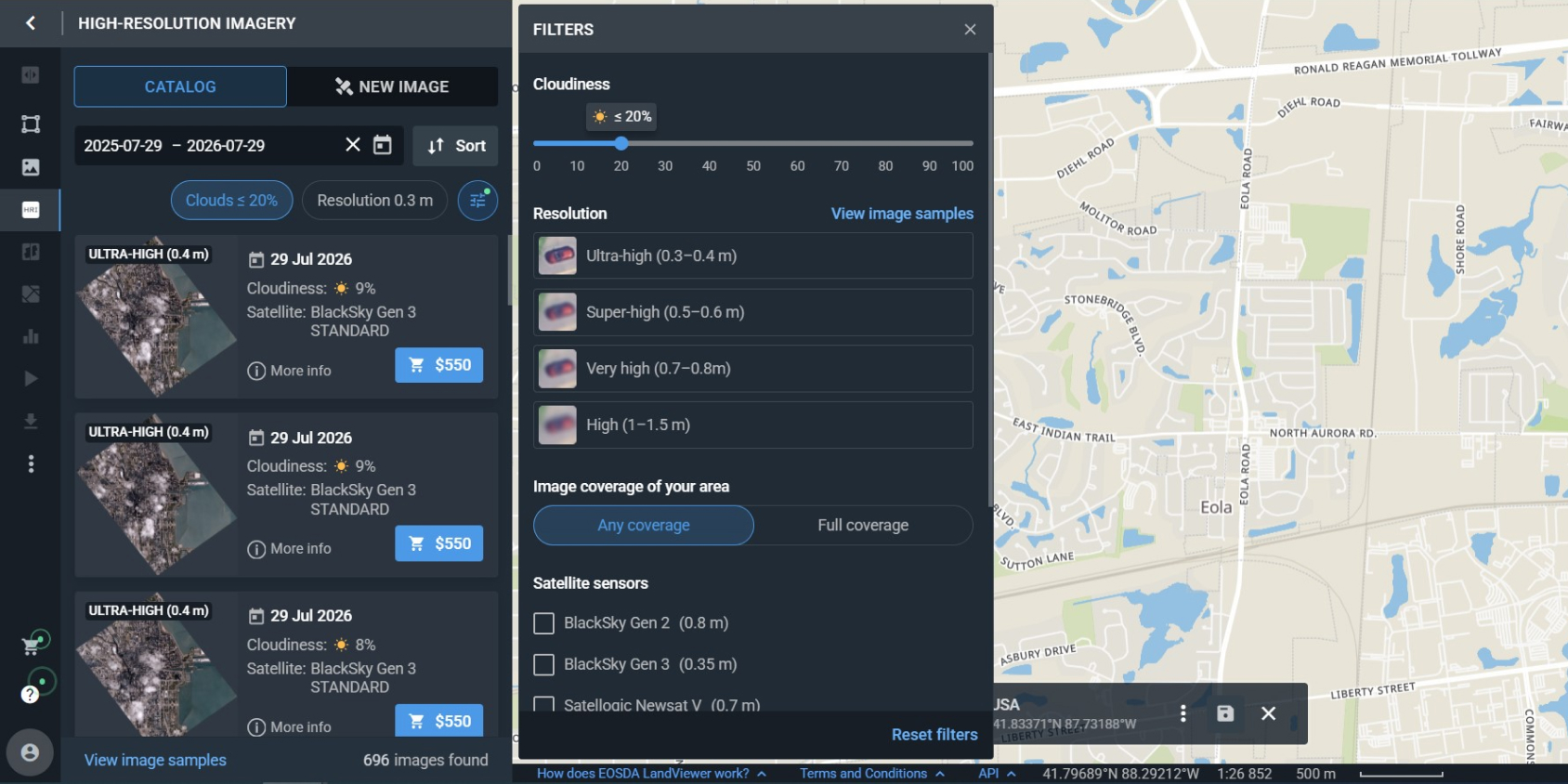
Step 1. Search for your house by entering an address or coordinates in the search bar. Use the filters to remove cloudy images, sеt your preferred date range, or choose a particular satellite with the exact resolution and revisit frequency you need. Then, look through the previews to pick the most suitable image of your house.
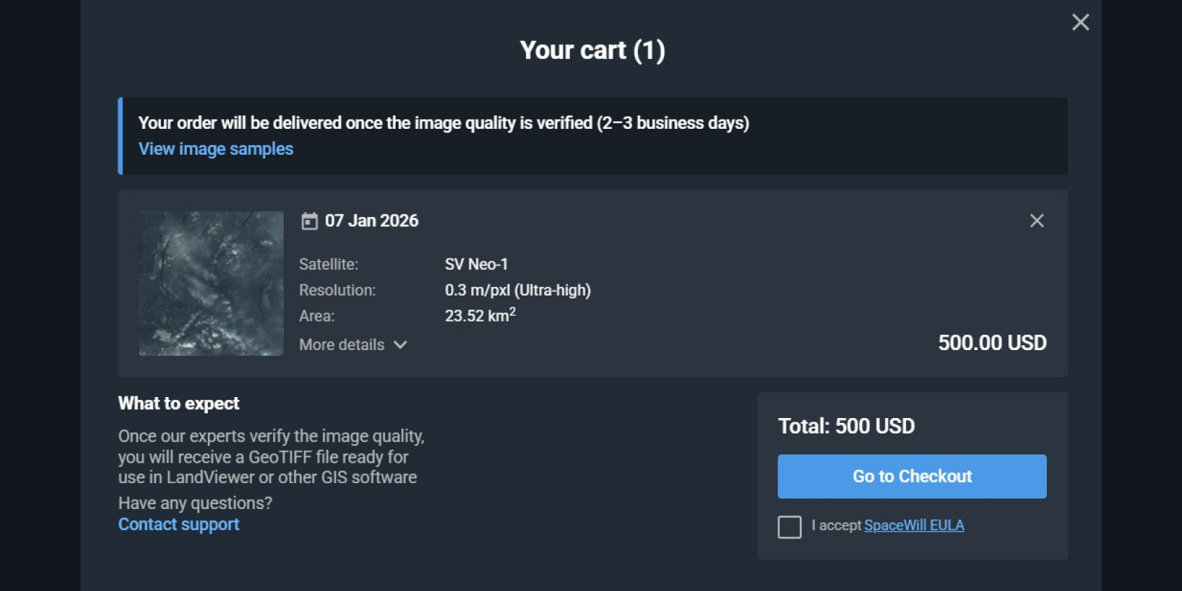
Step 2. To get a professional-grade look at your house, simply add the chosen image to your cart and purchase it.
Step 3. If the archive doesn’t have a view you need, you can order a brand-new image of your house. This is called “tasking.” You choose the level of detail and the price that fits your budget, and the satellite will capture a fresh image of your exact location.
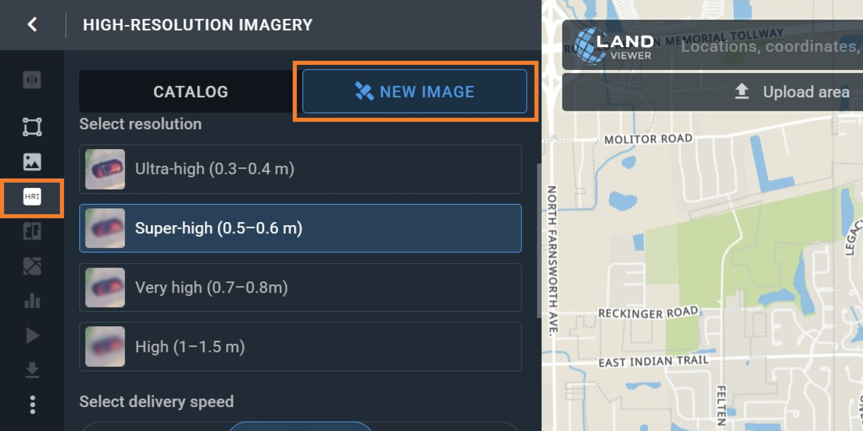
To speed things up, you can choose a Priority or Emergency tasking plan instead of the Standard one. Check LandViewer to compare these options or contact our sales team to find the best fit for your timeline.Can I see my house from a satellite in real-time?
Will I get satellite images of my home immediately after purchase?
How often are satellite images of my house updated?
Are high-resolution images on LandViewer better than Google Earth?
How much do high-resolution satellite photos of my house cost?
Which resolution should I choose for a satellite view of my home?
What will I actually be able to see in the photo of my house from satellite?
About the author:
Kateryna Sergieieva has a Ph.D. in information technologies and 15 years of experience in remote sensing. She is a Senior Scientist at EOSDA responsible for developing technologies for satellite monitoring and surface feature change detection. Kateryna is an author of over 60 scientific publications.
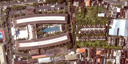
Choose up to 0.3 m high-resolution images from our catalog or request a satellite tasking.
More news
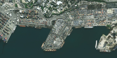
Satellite imagery tasking: How to order via the LandViewer platform
What if you could just order the satellite imagery you actually need? On-demand satellite tasking makes that possible — here's how it works and how to place your first order.
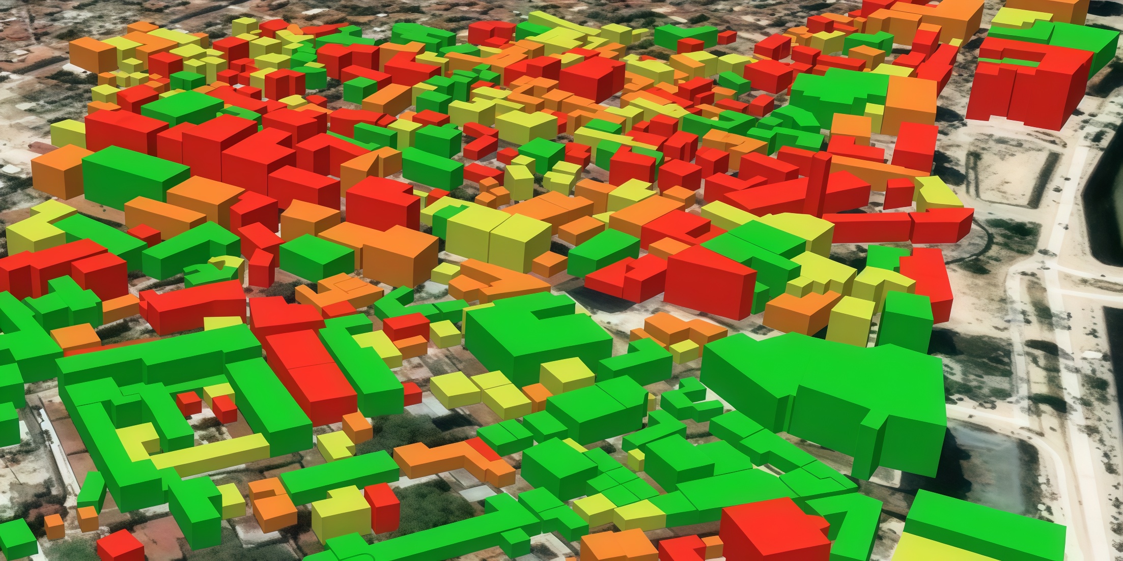
Digital surface model (DSM): How to map object heights
Need accurate elevation data for structures and land cover? See how digital surface models (DSMs) differ from bare-earth maps and learn how to get high-resolution stereo data for your area.
Digital elevation model (DEM): Guide to terrain mapping
Planning earthworks, drainage, or tower placement? See how digital elevation models reveal true ground contours and how to source site-specific DEM grids without overpaying.