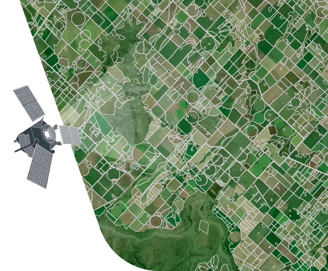
Boundaries detection using satellite imagery processing
Smart and scalable field boundary detection with EOS Data Analytics for accurate land monitoring and decision-making:
- Up to 90% accuracy achieved through CNN model trained on multi-country datasets
- Seamless integration with crop classification for detailed per-field analytics
- Flexible output formats, including vector masks, statistics, and custom reports via API
Approach and Methodology
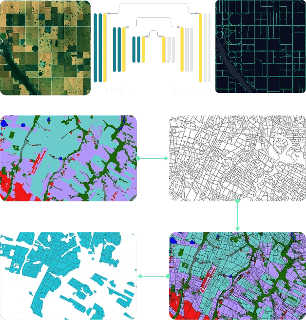
Model: Semantic segmentation CNN (encoder-decoder technology) trained on a 10-country dataset
Satellite data: Sentinel-2 L2A images processed with 4 spectral bands, including RGB and NIR
Accuracy: up to 90% by IoU metric (Intersection over Union)
Limitations: Regions with high cloud cover and small fields (<2 ha). High resolution imagery can be used
Flexible integration: field boundary detection can be used as a single solution or in combination with crop classification
Enhanced precision: Field boundary detection results can be combined with a raster classification layer for more accurate, granular per-field classification
Expected project outputs and formats
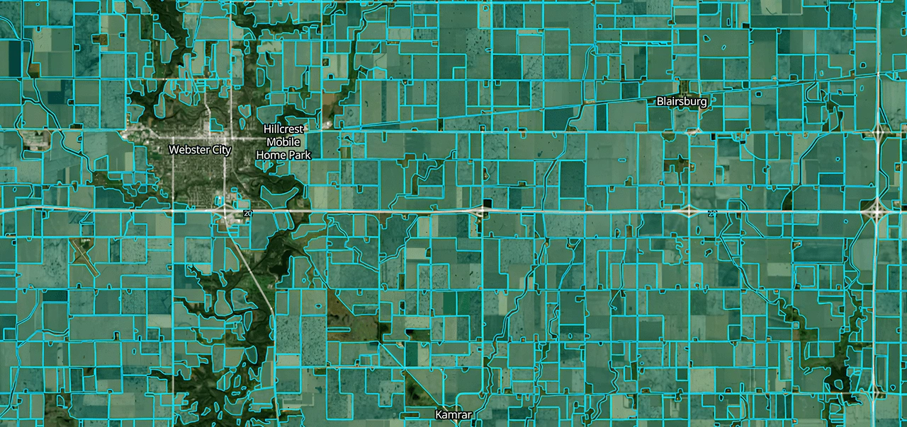
- Vector mask with field boundaries or along with crop classification, if applicable (ESRI shapefile, GeoJSON, KML, GPKG).
- Aggregated statistics of cropland ares by admin boundaries of regions, districts, etc (xlsx, csv).
- Analytical report or results interpretation note if requested.
*Delivery in another format if requested, including via API interface.
Required data for machine learning boundary detection project
Input data provided by customer
- Area of interest: table (xlsx/ csv) or vector format (KML, ESRI shapefile, GPKG, GeoJSON)
- Crop сalendar, if available (to choose optimal period for detection)
Data prepared by EOSDA
- Satellite imagery
- Other additional data layers (cities, roads, water bodies, etc)
- Validation datasets
Standard project stages
Typical project duration: 1-2 weeks
Investigation of vegetation features for AOI
Search and download of required satellite data
Model launch and support/control
Result verification and final outputs preparation
Benefits of field boundary detection solution by EOSDA
- Accurate identification of land parcels for change monitoring.
- Improved crop classification, yield prediction models, and field-level performance assessment.
- Precise data for autonomous farm machinery.
- Optimized planning for irrigation, drainage, and rural development.