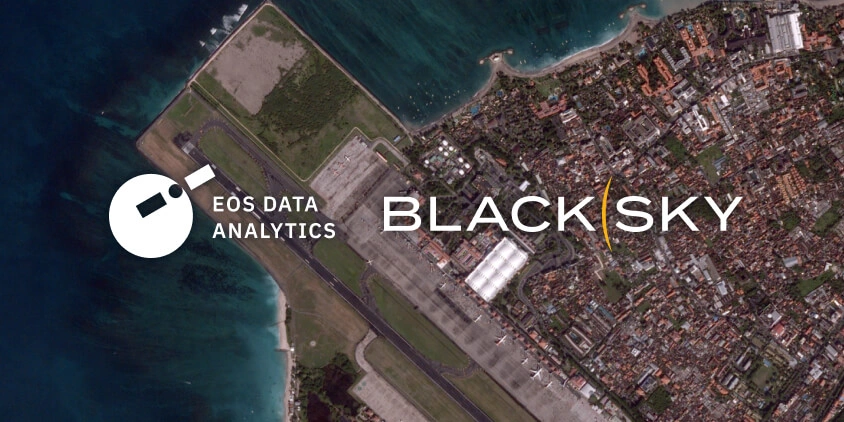
To provide even more robust and precise data to our clients, EOSDA is strengthening LandViewer with the addition of the BlackSky Gen-3 satellite constellation to the platform. By integrating this source, the finest commercially available resolution, backed by up to 15 revisits per day, will be available for all the users who rely on satellite intelligence to make critical decisions.
BlackSky Gen-3 represents a significant generational leap in satellite imaging capability. These third-generation satellites are designed for tactical-level clarity, operating in Low Earth Orbit (LEO) and combining very-high-resolution optical sensors with AI-enabled analytics.
Each BlackSky Gen-3 satellite is equipped with a multispectral sensor covering several key spectral bands, like RGB, Panchromatic, and Shortwave Infrared (SWIR). With a very high ground resolution of 0.35 m, imagery from these satellites captures even tiny surface details—such as the type of material on a rooftop, the construction stage of individual structures, or the development of individual agricultural crops in a field.
Besides its top-notch resolution, another very compelling attribute of the BlackSky Gen-3 constellation is its revisit frequency. With up to 15 passes per day over a target area, it surpasses most competing sensors and ensures that time-critical events are unlikely to go uncaptured between data collection windows. Combined with a delivery window of as little as 60 minutes after collection, this represents one of the fastest pathways from satellite capture to actionable intelligence currently available through the LandViewer platform.
Our ongoing commitment to expanding the range of sources available to our users has reached a new milestone by adding BlackSky Gen-3 to LandViewer. This addition strengthens our catalogue and gives our clients the opportunity to choose the sensor that best fits their needs, whether that’s maximum detail, revisit frequency, or cost efficiency. Our goal is to keep expanding the number of sources so that, whatever the mission or budget, the right imagery is always within reach on a single platform.
BlackSky Gen-3 satellite data is now accessible through the High-Resolution Imagery section of the LandViewer platform. Users can define their AOI (area of interest), browse archive images using the built-in filters for date, resolution, and cloud coverage, or submit a satellite tasking request for a fresh capture of a scene.
About BlackSky
BlackSky is a real-time intelligence company that designs, builds, and operates its own constellation of high-resolution small satellites. Its Gen 3 constellation offers very-high-resolution optical imagery, advanced AI-powered analytics, and near-real-time delivery, serving defence, intelligence, and commercial clients worldwide. BlackSky’s vertically integrated model enables rapid deployment and proven reliability.

Choose up to 0.3 m high-resolution images from our catalog or request a satellite tasking.
More news
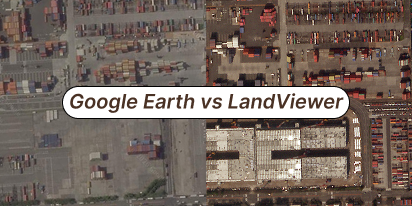
What’s better than Google Earth for professional use?
Is the resolution of free maps too low for your project? LandViewer offers a professional alternative to Google Earth with up to 0.3m imagery and daily revisits to ensure you never miss a detail.

Analyze 2025 & Plan Your Best Year Yet: LandViewer Christmas Offer
It’s the most wonderful time of the year! The Christmas holidays are here, and so is your chance to analyze 2025 and plan a prosperous 2026 with more affordable Pro plans in LandViewer.

EOSDA LandViewer Black Friday Sale: Exclusive Offers & Giveaway
This Black Friday, LandViewer offers new users the chance to save on monthly plans, get extra months with yearly subscriptions, and participate in a free annual plan giveaway.