
Kateryna Sergieieva
Senior Scientist at EOS Data Analytics
Kateryna Sergieieva joined EOS Data Analytics in 2016. She has a Ph.D. in information technologies and a 15-year experience in remote sensing.
Kateryna is a Senior Scientist at EOSDA. Her specialty is the development of technologies for satellite monitoring of natural and artificial landscapes and surface feature change detection. Kateryna is an expert in the analysis of the state of mining areas, agricultural lands, water objects, and other features based on multi-layer spatial data.
Kateryna is an Associate Professor conducting research at the Dnipro University of Technology. She is the author of over 60 scientific papers.
Articles by this author
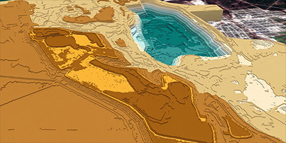
Digital terrain model (DTM): Bare ground height mapping
A digital terrain model (DTM) delivers a bare-earth height grid free from vegetation and structures. It provides the core elevation baseline needed for simulations and earthwork planning.
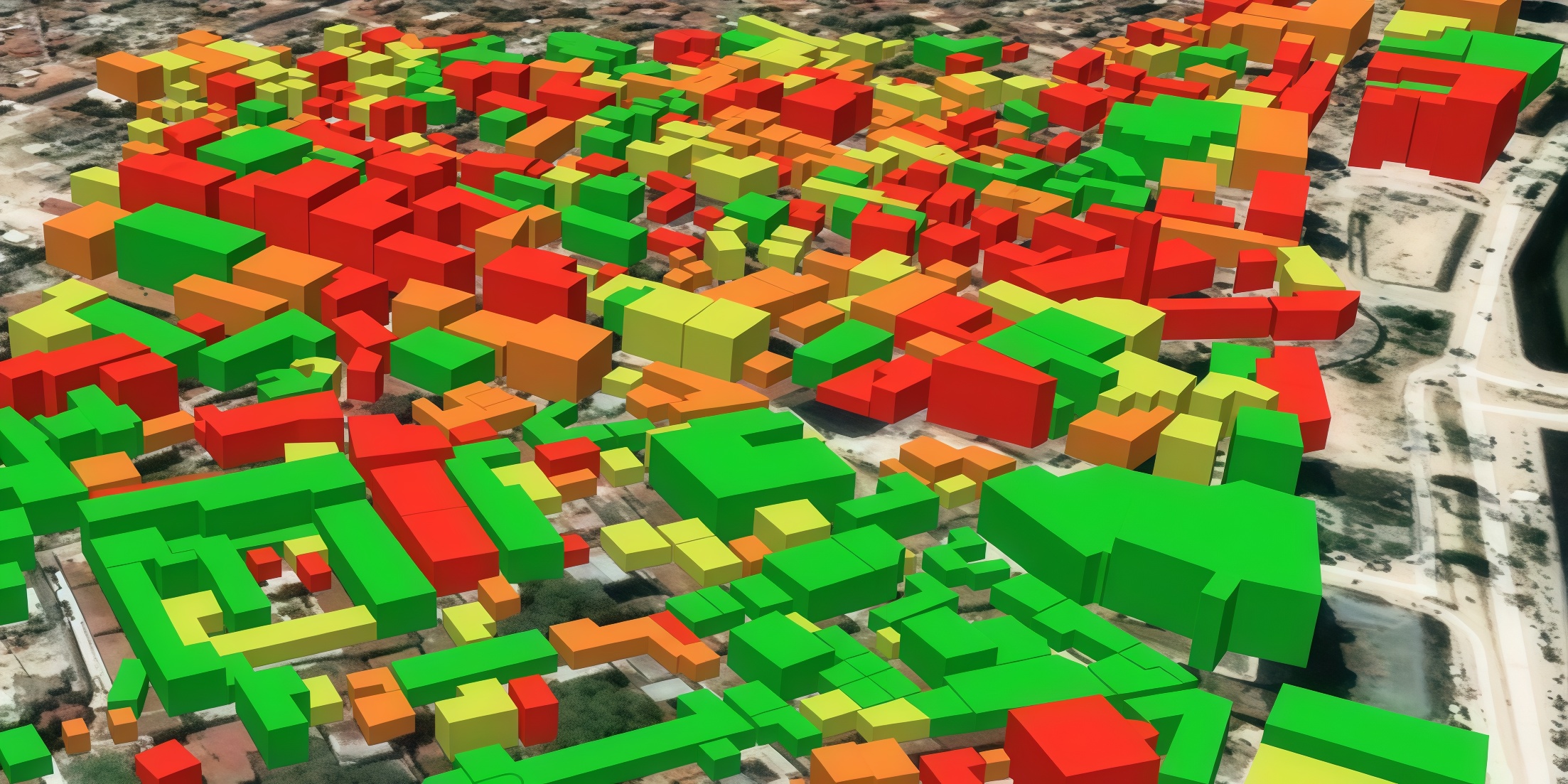
Digital surface model (DSM): How to map object heights
Need accurate elevation data for structures and land cover? See how digital surface models (DSMs) differ from bare-earth maps and learn how to get high-resolution stereo data for your area.
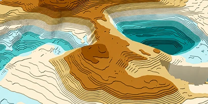
Digital elevation model (DEM): Guide to terrain mapping
Planning earthworks, drainage, or tower placement? See how digital elevation models reveal true ground contours and how to source site-specific DEM grids without overpaying.

Optical satellite imagery: Getting insights from space
Ground inspections can be slow and expensive. Discover how commercial optical satellite imagery simplifies remote site monitoring and supports daily operational decisions.
What’s better than Google Earth for professional use?
Is the resolution of free maps too low for your project? LandViewer offers a professional alternative to Google Earth with up to 0.3m imagery and daily revisits to ensure you never miss a detail.
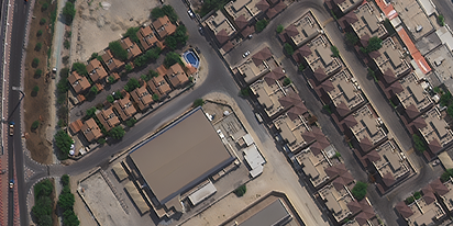
Can I see a real-time live satellite view of my house?
Can you view live satellite images of your house? Discover how to find, preview, and buy high-resolution images of your property for planning or monitoring.
Big Data In Agriculture Backed By Satellites & Sensors
The days when big data in agriculture was only for tech-savvy large farms are over. Today, easy-to-use platforms make it accessible to any farmer ready to work more efficiently.
The Best Vegetation Indices For Maize Growth Monitoring
One index won’t fit every maize growth stage. Knowing which one to use and how to interpret can save you time and inputs during the growing season.
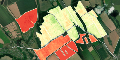
NDVI Explained: How The Index Helps Monitor Crop Health
NDVI is a trusted index for monitoring crop health. Learn how it works, what the values mean, and how to use it to guide better farm management decisions.