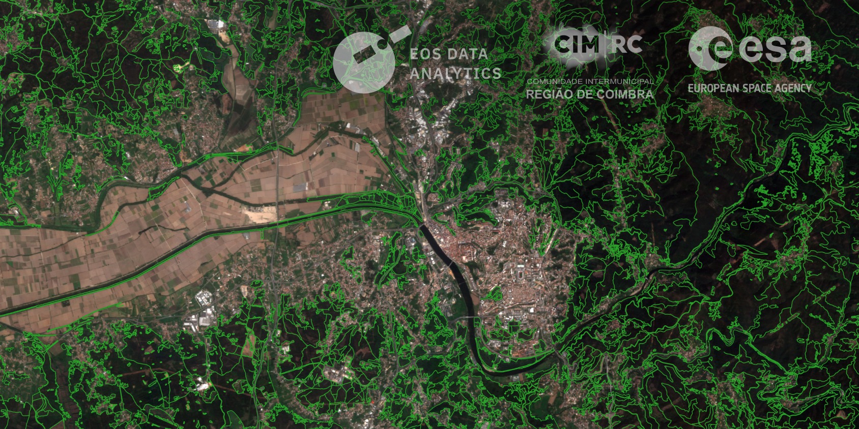
The Coimbra Region in Portugal faces recurring wildfire risk during the summer months. In 2025 alone, wildfires burned over 64,000 hectares of land in the region. To help mitigate future disasters, EOS Data Analytics, together with local partner CIM Coimbra, launched a satellite monitoring project funded by the European Space Agency’s InCubed programme. The project covers 19 municipalities in Coimbra, using satellite analytics to assess wildfire risks, identify changes in forests, and plan their recovery.
During the first phase of the project in Coimbra, which started in March 2026, EOSDA set up a system to provide local authorities with regular mapping data. By combining imagery from EOS SAT-1 with automated data processing, the team delivered early forest maps to the Coimbra Intermunicipal Community. This replaced traditional slow and costly ground inspections, allowing local managers to track large forested areas much more efficiently.
Recently, the team completed the second phase of the project by releasing an updated forest cover mask. Unlike the initial baseline, this new version accurately reflects real changes on the ground, such as recent deforestation and newly planted trees.
At the same time, EOSDA experts are mapping buffer zones where forests border roads, settlements, key infrastructure, and other human-activity zones. These maps will make it easier to pinpoint exact areas where the risk of ignition is highest.
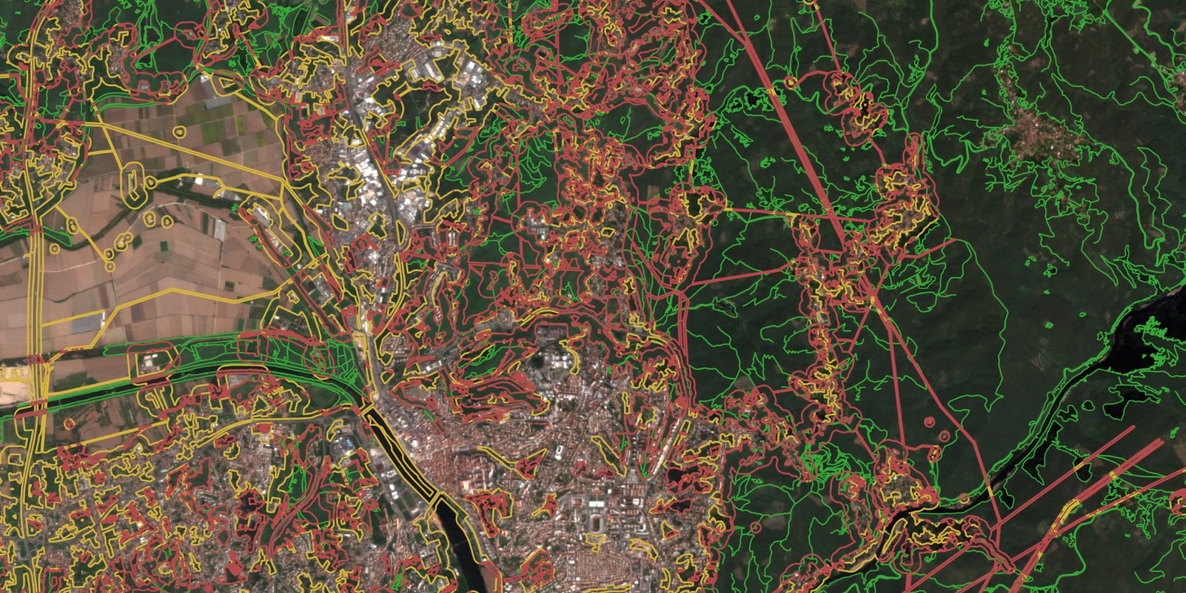
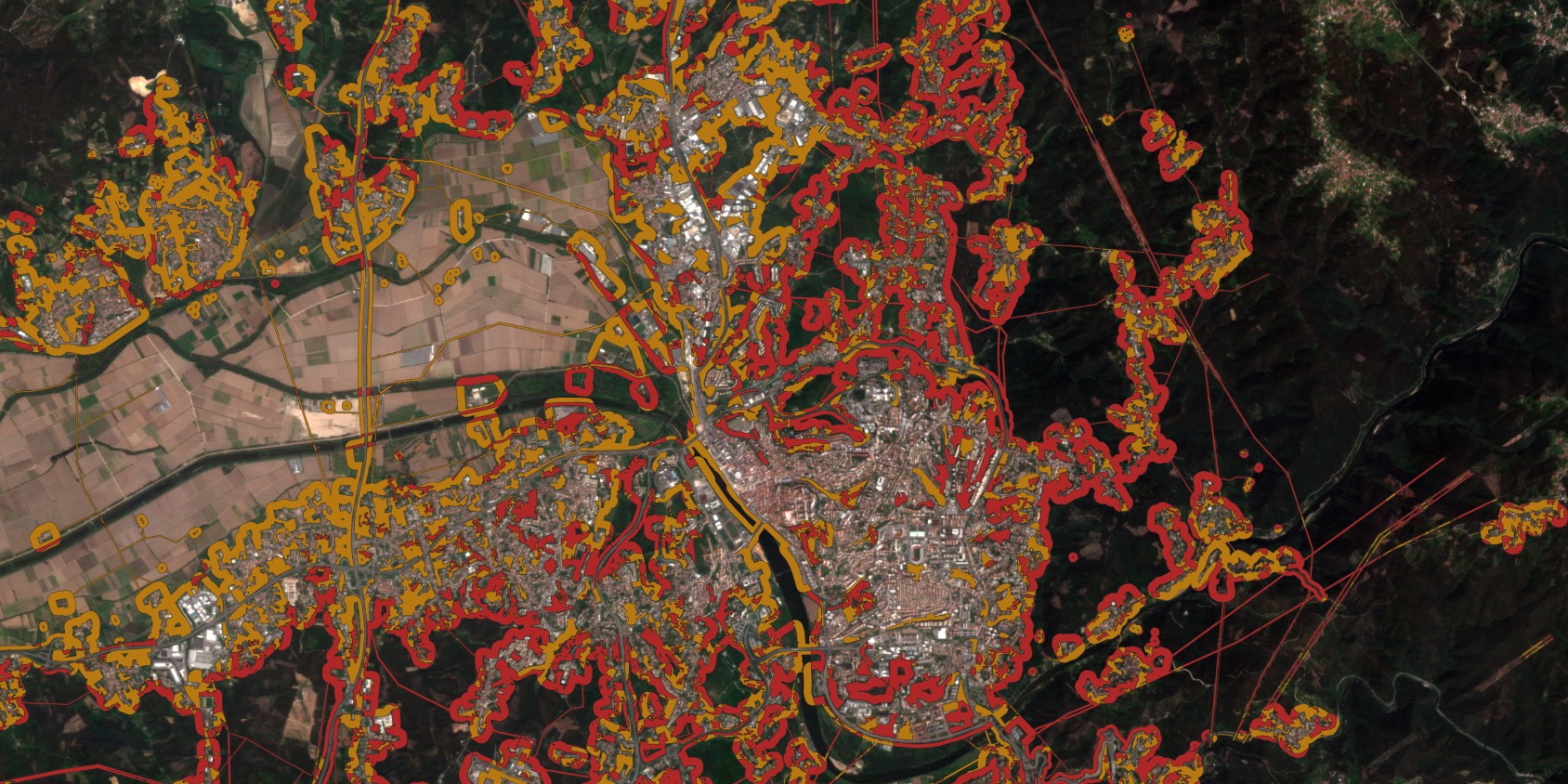
Forest ecosystems are constantly changing due to human activity and natural events, so static maps quickly become outdated. By updating the forest cover mask and introducing clear buffer zones around human features like roads, railways, urban areas, and electrical lines, among others, we give local emergency services precise data on high-risk areas.
Moving forward, the project team will focus on completing risk classification and mapping specific tree types across the Coimbra territory. Here is what the team plans to deliver in the coming months:
- Complete buffer zone mask and risk classification for the target municipality in the region.
- Perform tree species classification across the entire Coimbra territory to better understand fire vulnerability.
- Detect and map forest cover changes for the second half of 2026.
These steps will help local authorities prepare for upcoming seasonal risks. It will also establish a clear baseline to track how well forests recover after future fire events.
The 12-month project in Coimbra continues to show how space technology can solve real environmental challenges. By providing actionable satellite data to local communities, EOSDA helps Portugal protect its natural resources and reduce the impact of devastating wildfires.

Turn high-tech satellite data into actionable solutions for your business.

More news
EOSDA to Monitor Wildfires in Portugal Using Satellite Data Under ESA’s InCubed Programme
The company signed a contract with ESA to create an innovative satellite-based solution for forest monitoring and wildfire prevention.
EOSDA’s Harvesting Hope Initiative: Marginal Notes
Dive into additional details of the Harvesting Hope initiative by EOS Data Analytics and learn extra insights from the scientific research behind it.
EOSDA Launches ‘Harvesting Hope’ For Ukraine
EOSDA launches the 'Harvesting Hope' initiative to inform the world about Ukraine’s agricultural crisis, providing analytics on yields, sown areas, and production from 2021-2024.