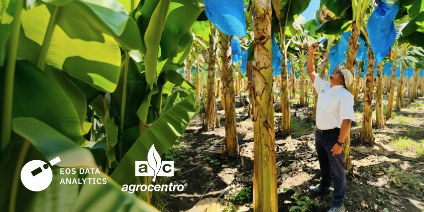
Efficiently managing multiple fields spread across different geographic areas is one of the biggest challenges facing modern agriculture. In Central America, where crop diversity demands close monitoring, adopting advanced technology is transforming the region’s traditional management practices.
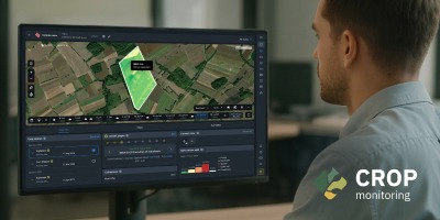
Through its ACTEC digital ecosystem, Agrocentro has integrated the Crop Monitoring remote sensing platform to sharpen agricultural decision-making and give local farmers precise recommendations.
Case summary
Problem
Continuously supervising multiple farm fields across Guatemala and Honduras takes too much time, and traditional field visits are not enough.
Solution
Integrating Crop Monitoring into the ACTEC precision agriculture program — with analytics based on vegetation indices and on both historical and recent satellite data — is transforming local management.
Outcome
Numerous fields covering hundreds of hectares were successfully monitored in 2026 alone, spanning 16 different crops and achieving rapid anomaly detection to help protect crop yields.
Overview: About Agrocentro and ACTEC
Agrocentro is a Guatemalan company founded in 1981, committed to promoting prosperous, sustainable agriculture for everyone. ACTEC is a purpose-built solution for the agricultural sector, designed to cut costs, improve efficiency, and maximize productivity.
By adopting Crop Monitoring technology as part of this cutting-edge solution, the company has significantly strengthened its monitoring and technical advisory capacity across the region. It is also helping local farmers adopt digital tools faster.
Problem: Field difficulties before the solution was implemented
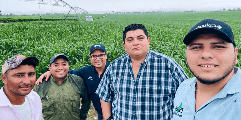
Before implementing its solution, Agrocentro struggled to efficiently track multiple fields across regions in Guatemala and Honduras. Assessment relied almost entirely on in-person field visits, a method that eats up time, logistical resources, and specialized technical staff. On average, each technical advisor drove 150 km every week, spending around 40% of their working time traveling between fields.
This limitation ruled out continuous surveillance and made it harder to catch critical problems early, such as pests, disease, stress, or in-field variability. On top of that, farmers had no way to analyze their crops’ historical behavior.
Solution: Implementing Crop Monitoring in ACTEC
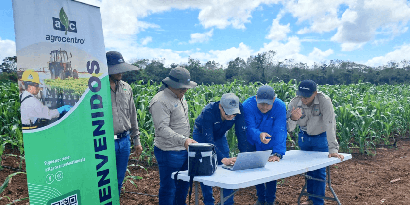
Deploying satellite technology gave the team continuous monitoring. Using analytics tools based on vegetation indices such as NDVI, NDRE, RECI, and NDMI, the technicians could quickly pinpoint the specific areas that needed priority attention.
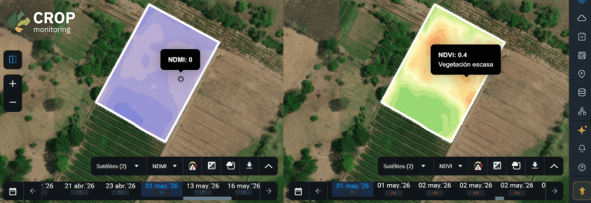
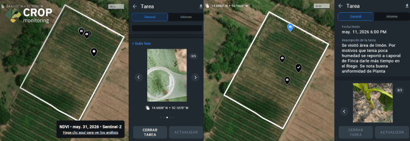
One of the most telling cases took place on a 5 ha banana plantation. The indices showed an unusual drop in plant vigor (NDVI) and in moisture across one specific zone (NDMI). Thanks to the platform’s early alert, the technical advisor confirmed on site that the plants were under water stress and recommended increasing irrigation and applying amino acids to speed recovery. That rapid response averted an estimated 40% yield loss in the affected zone, worth between USD 3,000 and USD 4,000 to the farmer.
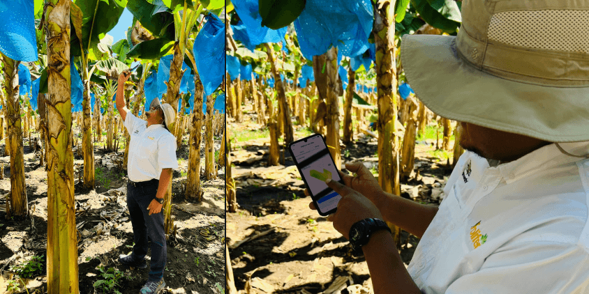
“At Agrocentro, satellite monitoring has become a fundamental tool within our precision agriculture offering. It lets us observe crops continuously, identify the areas that need attention, and back up our technical recommendations with objective information”.
Outcome: Regional expansion and smarter management
Over the course of 2026, the platform enabled successful monitoring of 83 fields covering 472 hectares. Among them, they grew crops as varied as sugarcane, maize, rice, avocado and banana. For many of these smallholder farmers, this was their first experience with digital tools of the kind, so Agrocentro’s work is also advancing the digitalization of the sector. Having freed up its advisors’ time and delivered excellent results, Agrocentro plans to expand its digital agriculture services to other countries in the area, such as El Salvador and Nicaragua.
Need a solution tailored to your business goals? Book a call with our team to see how we can help.
Sign up today and get access to 3 months of field monitoring history for free.
More news
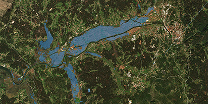
Validating satellite tech for flood analysis and damage mapping in Coimbra
Can satellites improve disaster response? We explored this in the Coimbra district, showing how integrated satellite intelligence can assess flood impacts and fill critical data gaps during a crisis.
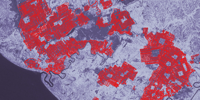
EOSDA advances rice field mapping in Indonesia with SAR
EOSDA tested a radar-based approach to improve rice field detection in Indonesia. By integrating SAR and optical data, the team ensured stable monitoring even during peak monsoon months.
EOSDA Forecasts Yields For 2025 In Saskatchewan
EOSDA created RM-level crop yield forecasts for Saskatchewan to address limitations of official data. The project shows how satellite and weather inputs reveal local yield changes during the season.