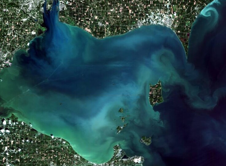
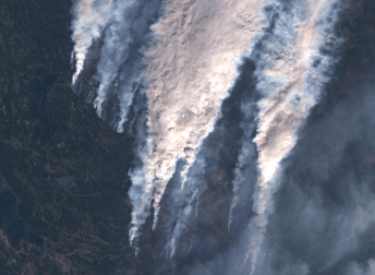
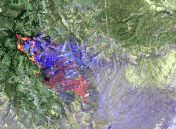
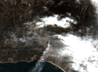
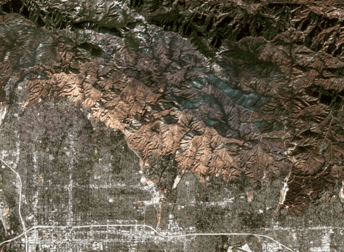
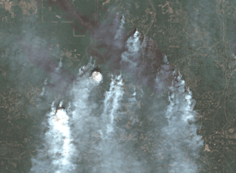
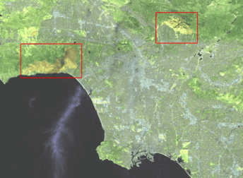
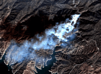
HomeGallery Satellite Image Of Lake Erie From Sentinel 2 Location Satellite Image Of Lake Erie From Sentinel 2 Coordinates 41.90841°N 82.72705°W Satellite Sentinel-2 Tags 10 m Medium-resolution Images Download IMAGE Related Images Medium-resolution Images Satellite images of Canadian wildfires 54.03298°N, 104.83544°W Landsat 9 24.09.2018 Medium-resolution Images Satellite images of Arizona wildfires 33.82733° N, 110.93398° W Sentinel-2 24.09.2018 Medium-resolution Images Satellite images of Palisades fire 34.07870°N, 118.54584°W Sentinel-2 24.09.2018 Medium-resolution Images Satellite images of the Eaton fire 34.20012° N, 118.04673° W Sentinel-2 24.09.2018 Medium-resolution Images Satellite Images of Alberta Wildfires 54.87917° N, 116.03523° W Sentinel-2 24.09.2018 Medium-resolution Images Satellite Images Of Los Angeles Wildfires 34.07328° N, 118.37837° W Sentinel-2 24.09.2018 Medium-resolution Images Satellite views of California wildfires 34.569127° N, 118.559727° W Sentinel-2 24.09.2018 Medium-resolution Images Satellite Image Of Hurricane Katrina 28.72732°N 91.97205°W Sentinel-2 24.09.2018 Medium-resolution Images Satellite Image Of Angola 12.13869°S 16.41357°E Sentinel-2 24.09.2018 load more