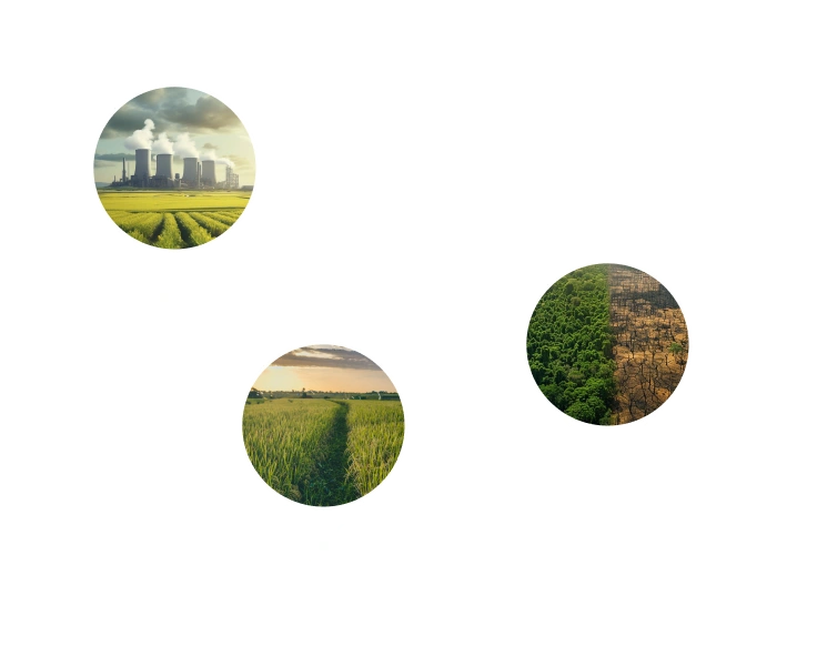
Boost Carbon Credit Returns with Faster Project Monitoring and Verification.
Get precise stratification, digital MRV, SOC baselines and forecasts with EOSDA Carbon. It's a model-as-a-service powered by satellite data, AI/ML modeling, and domain expertise.
SOC estimation accuracy
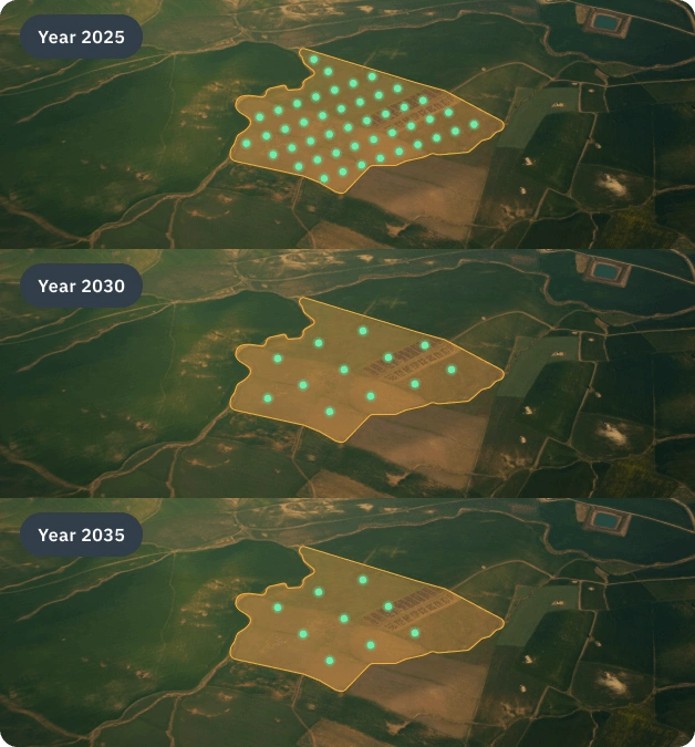
-year forecasts for various scenarios
fewer follow-up soil samples required
Carbon Assessment is Due for a Rethink
Field sampling and lab work still dominate a process that should be smarter by now
Why is SOC Assessment Still So Complicated?
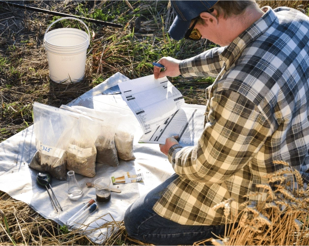
When managing carbon projects, soil carbon estimation remains one of the most resource-intensive hurdles.
This level of effort is unsustainable for projects that aim to scale.
Here's What It Looks Like When It Isn't.
True relief demands a solution designed to ease the SOC assessment burden. A solution that combines sattech, machine learning, & domain expertise.
EOSDA's approach simplifies complexity without sacrificing precision.

Discover The Services Behind EOSDA Carbon
Our comprehensive process combines multiple advanced techniques, each carefully integrated for simplicity, scalability, and precision.
Stage 1. Project Design – to chart the territory
This stage provides clarity and precise planning. Clearly defined area boundaries, accurate crop data, and tailored scenarios simplify workflow and enhance potential returns.
- Field boundary detection for precise project's area definition
- Accurate land cover classification to identify eligible areas for carbon project certification
- Satellite-driven stratification (land zoning for accurate soil sampling)
- Running various sequestration scenarios to maximize carbon credit potential
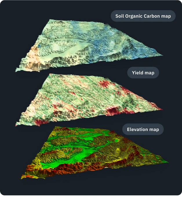
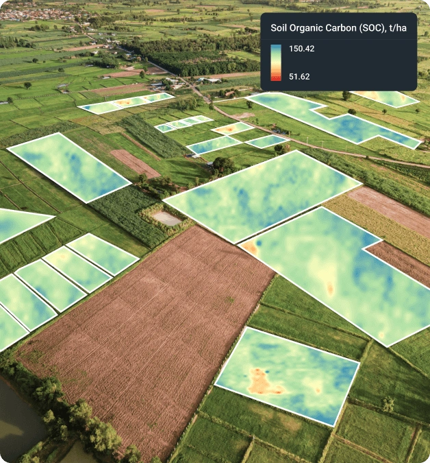
Stage 2. SOC Baseline – to map precision from the get-go
We establish a reliable baseline with initial soil sampling. This reduces costs and uncertainties in the long run. You gain a clear benchmark for future progress.
- Scientifically proven modeling delivers 90%+ accuracy (learn more here)
- The output is a report with instructions and project scaling recommendations
- Baseline precision is achieved by using up to 140 unique predictors.
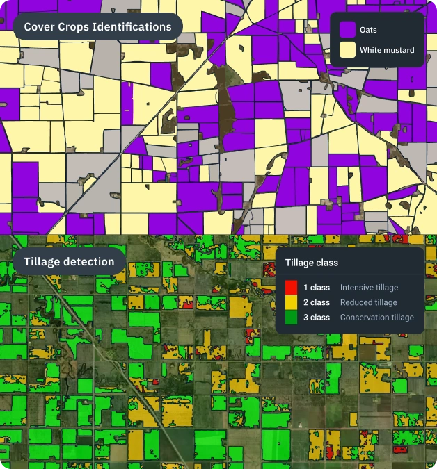
Stage 3. Satellite Monitoring – to stay on course
Continuous monitoring simplifies compliance and maintains credibility. You avoid costly field visits and easily adjust your strategy.
- Ongoing satellite-based monitoring of:
- tillage
- cover crops
- soil health
Stage 4. Verification & Reporting – to get to the destination point
The final stage ensures efficient validation. Detailed, accurate reporting saves resources and clearly demonstrates your project's success.
- Our model forecast validation requires as little as 10% of the initial soil samples, though the exact percentage may vary depending on the project
- The reports are aligned with proven methodologies and validated by independent experts – for example, through a Model Validation Report under the Verra standard
Backed by Practice. Recognized in Research.
We are delighted to have the support of EOS Data Analytics. Their approach enables us to achieve unprecedented accuracy in measuring soil carbon content remotely.
Founder and Managing Director of AgriProve

AgriProve is a leading soil carbon enhancement technology developer in Australia, managing over 700 projects across more than 175,000 ha.
At the 2024 ESA Symposium, we shared our soil carbon modeling results from Ukraine and showed how satellite data and the RothC model can enable accurate, large-scale estimation of soil carbon content.
Soil Scientist at EOSDA

The event took place in Frascati, Italy, in March 2024 and brought together leading soil experts from Europe and beyond.
Let’s Continue The Journey Together
Accurate SOC estimation requires an individual approach. Connect with us, and you'll:
Discover exactly how to achieve 90%+ SOC estimation accuracy in your case.
Receive a clear, personalized roadmap tailored specifically to your project needs.
Explore a low-risk pilot or Proof-of-Concept designed around your goals.
Frequently Asked Questions
Eligibility and Getting Started
How do I know if my project is eligible for your carbon estimation solution?
Our model fits carbon projects starting from 1,000 hectares (2,471 acres), ideal for carbon project developers, agricultural cooperatives, energy companies, and government-led initiatives.
What data will you need from me to begin?
Initially, we require your project's location (AOI) and existing soil sample data. The more precise data you provide (e.g., historical crop data, fertilizer usage), the more accurate your results and cost savings will be.
Do you collect soil samples as part of the project?
We don't collect soil samples ourselves, but we can help connect you with trusted laboratories and assist in organizing the sampling process.
Compliance and Reporting
Do you assist with ongoing carbon project compliance and monitoring?
Yes. Our satellite technology monitors tillage practices, cover crop planting, and soil health continuously. This simplifies compliance and enhances your project's credibility over time.
What about reporting? How do I share results with stakeholders?
We deliver detailed scientific reports that explain our methodology, modeling process, and project-specific results. These reports are designed to meet certification standards and give stakeholders full transparency into how the data was generated and what it means for the project.
Are you a dMRV provider?
Yes. EOSDA is a digital Monitoring, Reporting, and Verification (MRV) provider.
We offer satellite-powered modeling, continuous field monitoring, and reporting tools that make it easier for carbon project developers to manage, track, and validate their initiatives. Our Model Validation Report, reviewed and approved by an Independent Model Expert, helps streamline the verification process and supports alignment with standards like Verra.
SOC Estimation and Accuracy
How accurate is your satellite-based estimation?
Our integrated Baseline and RothC models consistently achieve an accuracy of 85-93%. Clients have experienced up to 93% accuracy and significantly reduced traditional soil sampling in their projects.
Can you estimate how much revenue my project could generate from carbon credits?
Absolutely! With our improved RothC model, we forecast your potential carbon credit earnings in different scenarios. With this data, you can confidently plan your project's economic viability years ahead.
Role and Capabilities
Are you a carbon project developer?
No, we're a tech partner. We support businesses with the data, models, and tools needed to build scalable and verifiable carbon projects.
Can your solution help with Scope 3 emissions reporting?
Yes. We don't report Scope 3 emissions directly, but our modeling approach and satellite monitoring support accurate measurement. This helps your organization reduce supply chain emissions and improve reporting clarity.
Our publicationss
Calculating Organic Carbon Content In Ukrainian Soils
EOSDA’s Soil Scientist, Dr. Vasyl Cherlinka, calculated the organic carbon content in the Ukrainian soil for the period of 2015 to 2020 and used that data to predict the SOC for the next 20 years.

EOSDA Helps AgriProve Enhance Soil Carbon Monitoring
AgriProve leverages EOSDA’s satellite analytics to help farmers increase carbon storage in their lands, thus improving their soil health and allowing them to profit from carbon credits.
Soil Organic Carbon Sequestration: Taking A Closer Look
In this blog post, EOSDA explores the intricacies of soil organic carbon, its benefits, the challenges in its management, and how AI-powered satellite data analytics can help with SOC sequestration.
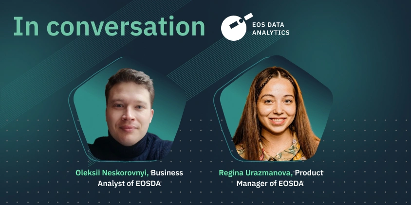
How EOSDA Monitors Sequestrated Carbon With AI And ML
Regina Urazmanova and Oleksii Neskorovniy, EOS Data Analytics, discuss carbon project development and EOSDA’s new soil organic carbon model that helps calculate the carbon sequestered in the soil.
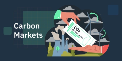
Carbon Markets: Principles, Impacts, And Future Outlook
The carbon market is where ecology meets economy. Discover how these marketplaces incentivize emissions reduction across industries and why agriculture may hold the key to a low-carbon economy.
Carbon Farming: What Is It And How To Implement It
Traditionally, agriculture has produced greenhouse gas emissions rather than sequestered them. Carbon farming aims to turn this situation around while remaining economical for agribusiness players.
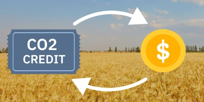
Carbon Credits For Farmers: How To Get And Sell
Carbon credit programs for farmers are created to enhance sustainability and generate income for farmlands. EOS Data Analytics will provide insights into how farmers can get and sell carbon credits.
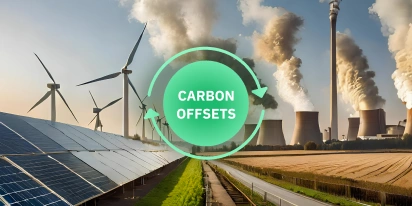
Carbon Offsets: Balancing Out Negative Eco-Footprint
For businesses eager to address climate change but facing technical constraints in reducing their greenhouse gas emissions, carbon offsetting offers an opportunity to still make a difference.