Maritime surveillance
Detect vessels and maritime activity at scale, close AIS gaps, and monitor ports and coastal zones with satellite intelligence.
How maritime surveillance by EOS RayVision helps your business
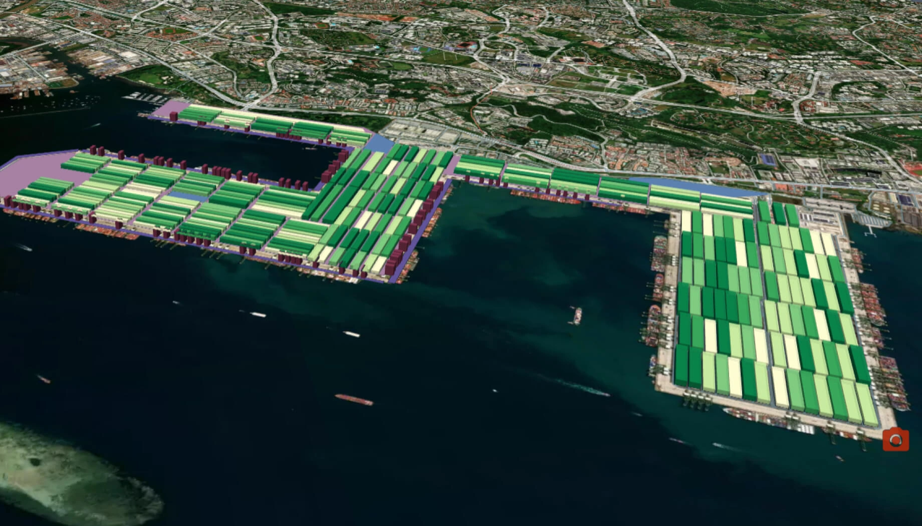
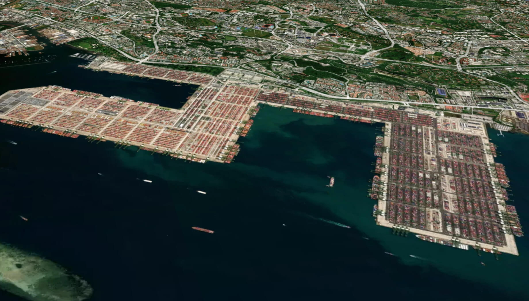
Monitor ports/coasts
Core benefit:
Stay ahead on port activity, anchorage, nearshore traffic, and coastal changes.
Spot AIS-dark ships
Core benefit:
Reveal vessels with satellite data even when AIS is missing or delayed.
Flag risky behavior
Core benefit:
Detect unusual vessel patterns and new shipping routes for faster intervention.
Boost compliance
Core benefit:
Ensure maritime rules are followed with evidence-backed risk detections.
Maritime surveillance data delivered in formats you need

Original data layers
Receive GEOJSON / KML / SHP datasets and upload them wherever you want.

Decision-ready PDF report
Actionable report summarizing key findings for rapid response and easy sharing.

Interactive smart map
Cloud-based interactive map with 3D view for clear visualization and spatial analysis.
Typical project stages
Defining AOI, requirements, and KPIs
Selecting optimal imagery (optical, SAR, or hybrid)
Running baseline mapping and ML change detection
Validating, enriching, and prioritizing insights
Delivering data layers, a report, and a smart map on schedule
Why teams succeed with EOS RayVision
Intelligence, not raw data
Get ready-to-use insights, not just raw layers, to make decisions on the fly.
Multi-sensor monitoring
Never miss critical changes thanks to smart optical and SAR coverage of 20+ constellations.
Global scale, fast rollout
Deploy quickly across regions to standardize monitoring and save time.
Flexible delivery and visualization
Access data in the way that fits your workflow: GIS layers, PDF reports, or 3D interactive maps.
Reusable ML/AI models
Get consistent, accurate detection across assets through proven ML/AI models.
End-to-end expert implementation
In-house science and GIS teams handle the full process for reliable results every time.
FAQ
Does your surveillance solution work at night, in clouds, or in haze?
Yes, we rely on SAR and hybrid acquisition to ensure continuous monitoring regardless of light or weather limits.
What areas can you cover?
We can cover coastal zones, EEZs, ports, straits, and defined corridors, scaling from small AOIs to regional monitoring.
How often can we get updates?
We provide updates ranging from near-real-time to planned schedules, depending on AOI size, sensor mix, and priority levels.
What outputs do you deliver for each detection?
We deliver object footprints, key attributes (e.g., type/size where feasible), confidence levels, timestamps, and supporting evidence snapshots.
What inputs do you need from us to begin?
To start, we need your AOI locations, monitoring goals, desired update frequency, and any known constraints and risk factors.