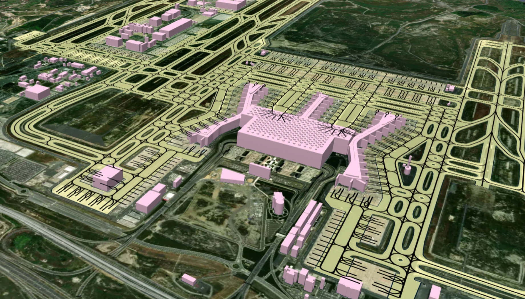
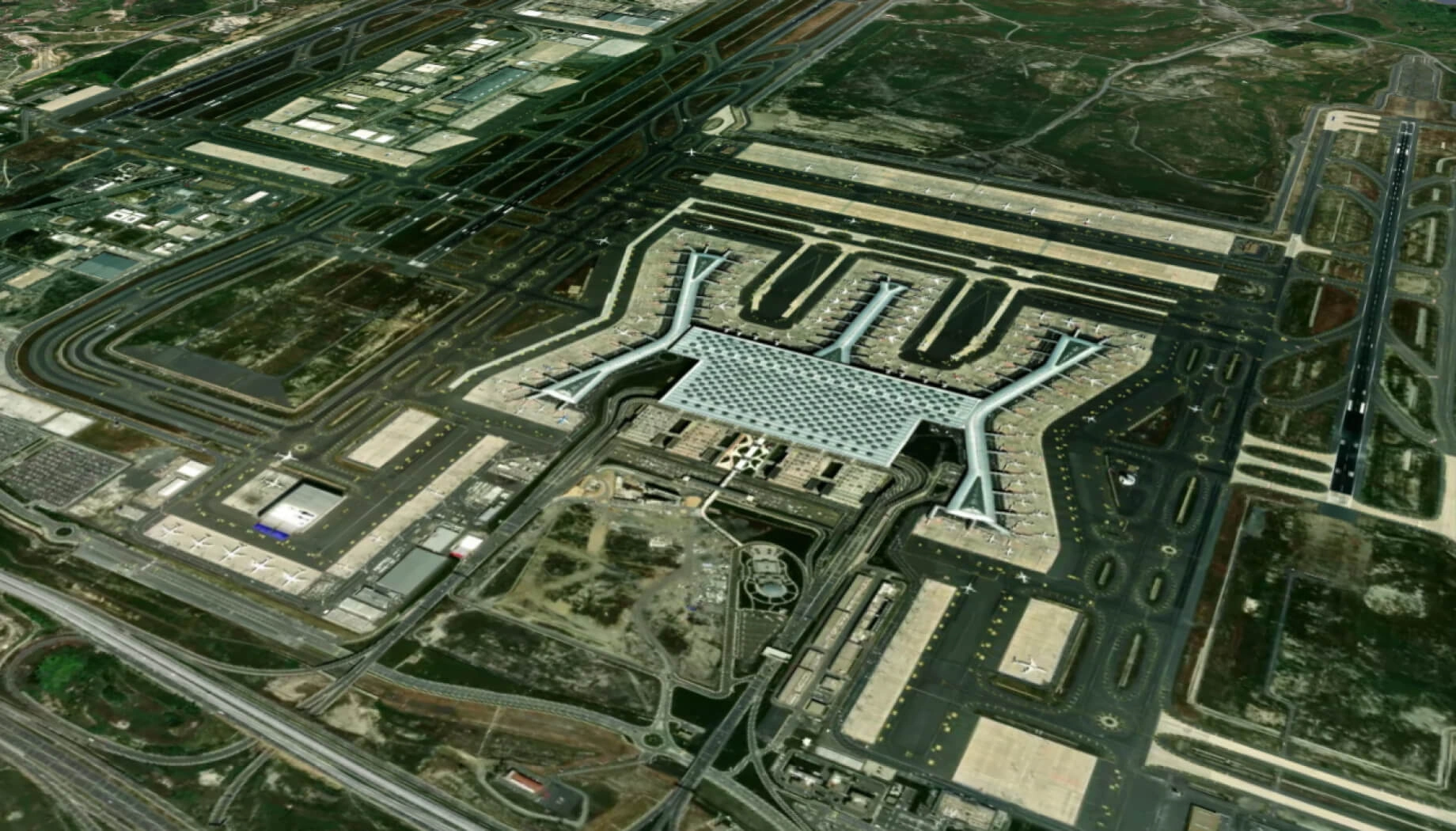
Infrastructure monitoring
Monitor critical assets and construction sites with satellite intelligence to detect changes early and reduce risks and delays.
Empower your business with EOS RayVision infrastructure monitoring
Progress tracking
Core benefit:
Identify delays early and keep projects on schedule.
Encroachment detection
Core benefit:
Prevent unauthorized activity before it becomes a legal or financial issue.
Asset integrity
Core benefit:
Spot structural risks before they lead to failures or downtime.
Change alerts
Core benefit:
Get alerts on critical changes that matter.
Infrastructure monitoring data delivered in different formats

Original data layers
Receive GEOJSON / KML / SHP datasets and upload them wherever you want.

Decision-ready PDF report
Actionable report summarizing key findings for rapid response and easy sharing.

Interactive smart map
Cloud-based interactive map with 3D view for clear visualization and spatial analysis.
Typical project stages
Defining AOI, requirements, and KPIs
Selecting optimal imagery (optical, SAR, or hybrid)
Running baseline mapping and ML change detection
Validating, enriching, and prioritizing insights
Delivering data layers, a report, and a smart map on schedule
Featured case study

Kakhovka hydroelectric power plant dam assessment
Why teams succeed with EOS RayVision
Intelligence, not raw data
Get ready-to-use insights, not just raw layers, to make decisions on the fly.
Multi-sensor monitoring
Never miss critical changes thanks to smart optical and SAR coverage of 20+ constellations.
Global scale, fast rollout
Deploy quickly across regions to standardize monitoring and save time.
Flexible delivery and visualization
Access data in the way that fits your workflow: GIS layers, PDF reports, or 3D interactive maps.
Reusable ML/AI models
Get consistent, accurate detection across assets through proven ML/AI models.
End-to-end expert implementation
In-house science and GIS teams handle the full process for reliable results every time.
FAQ
What types of infrastructure can I monitor?
We monitor a wide range of assets, including pipelines, fuel storage, dams, roads, rail, industrial sites, mines, construction projects, and many others, depending on your needs.
Is infrastructure monitoring possible in clouds, smoke, or haze?
Yes, monitoring continues through clouds, smoke, or haze thanks to SAR or hybrid satellite tasking.
How often will I receive updates?
Updates can be weekly, monthly, or quarterly, depending on your needs, AOI size, sensor choice, and alert criticality.
How do you ensure infrastructure monitoring accuracy?
We ensure accuracy through multi-sensor cross-checks, clear and parameterized QA rules, model tuning for each specific asset type, and expert review of critical detections before delivery.
What inputs do you need from us to begin?
To start, we need your AOI/asset locations, monitoring goals, desired update frequency, and any site constraints or known risk factors.