Fuel storage and pipeline monitoring
Monitor fuel tanks and pipelines with satellite intelligence, detecting changes, leaks, and security threats proactively.
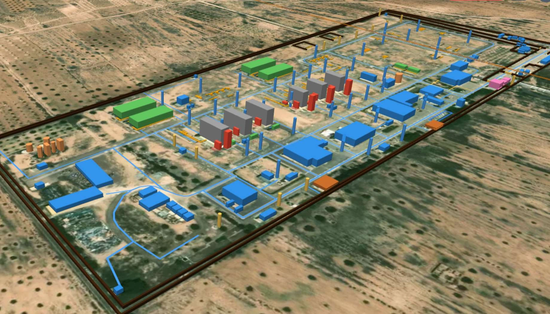
How EOS RayVision suits fuel transfer and storage system needs
Security and access control
Core benefit:
Spot unusual vehicles, new builds or unauthorized activity near fuel infrastructure.
Leak signature detection
Core benefit:
Detect soil discoloration, vegetation stress, or anomalies signaling potential leaks.
Pipeline integrity monitoring
Core benefit:
Spot encroachment, unauthorized digs, ground disturbance near pipeline corridors.
Tank volume monitoring
Core benefit:
Track roof heights and shadows to estimate fuel levels and volume changes.
Outputs EOS RayVision delivers for your project
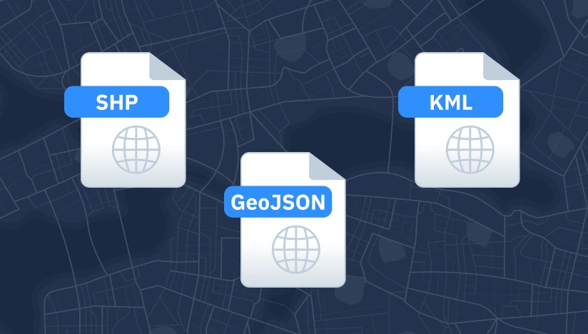
Original data layers
Details of that data format.

Decision-ready PDF report
Insights and clear conclusions, packaged for fast decisions and easy sharing.

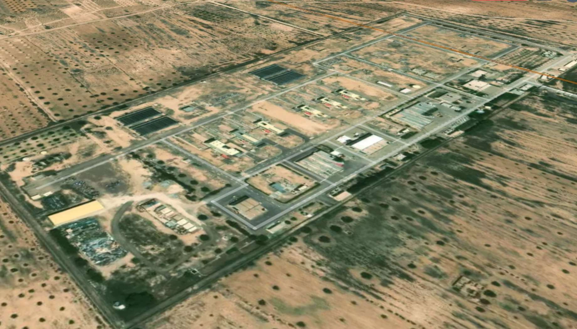
Interactive smart map
Cloud-based interactive smart maps with 3D visualization.
Typical project stages
Defining AOI, requirements, and KPIs
Selecting optimal imagery (optical, SAR, or hybrid)
Running baseline mapping and ML change detection
Validating, enriching, and prioritizing insights
Delivering data layers, a report, and a smart map on schedule
Why global leaders trust EOS RayVision
Intelligence, not raw data
Get ready-to-use insights, not just raw layers, to make decisions on the fly.
Multi-sensor monitoring
Never miss critical changes with the smart optical and SAR coverage of 20+ constellations.
Global scale, fast rollout
Deploy quickly across regions to standardize monitoring and save time.
Flexible delivery and visualization
Access data in the way: GIS layers, PDF reports, or 3D interactive maps.
Reusable ML/AI models
Get consistent, accurate detection across assets through proven ML/AI models.
End-to-end expert implementation
In-house science and GIS teams handle the full process for reliable results every time.
FAQ
Can you detect underground pipeline leaks?
EOS RayVision allows detecting surface changes (soil discoloration, vegetation stress) that may indicate leaks.
Can you integrate with our management systems?
Yes. We can provide required data formats to support your operations or create an API based access by request.
What about nighttime or adverse weather?
SAR imagery works in all weather and lighting. Optical requires clear skies and daylight for best results.
How do you ensure accuracy?
EOS RayVision ensures accuracy through multi-sensor cross-checks, clear and parametriezed QA rules, model tuning per asset type, and expert review on critical detections before delivery.
What inputs do you need from us to begin?
AOI/asset locations, monitoring goals, desired update frequency, and any site constraints or known risk factors.