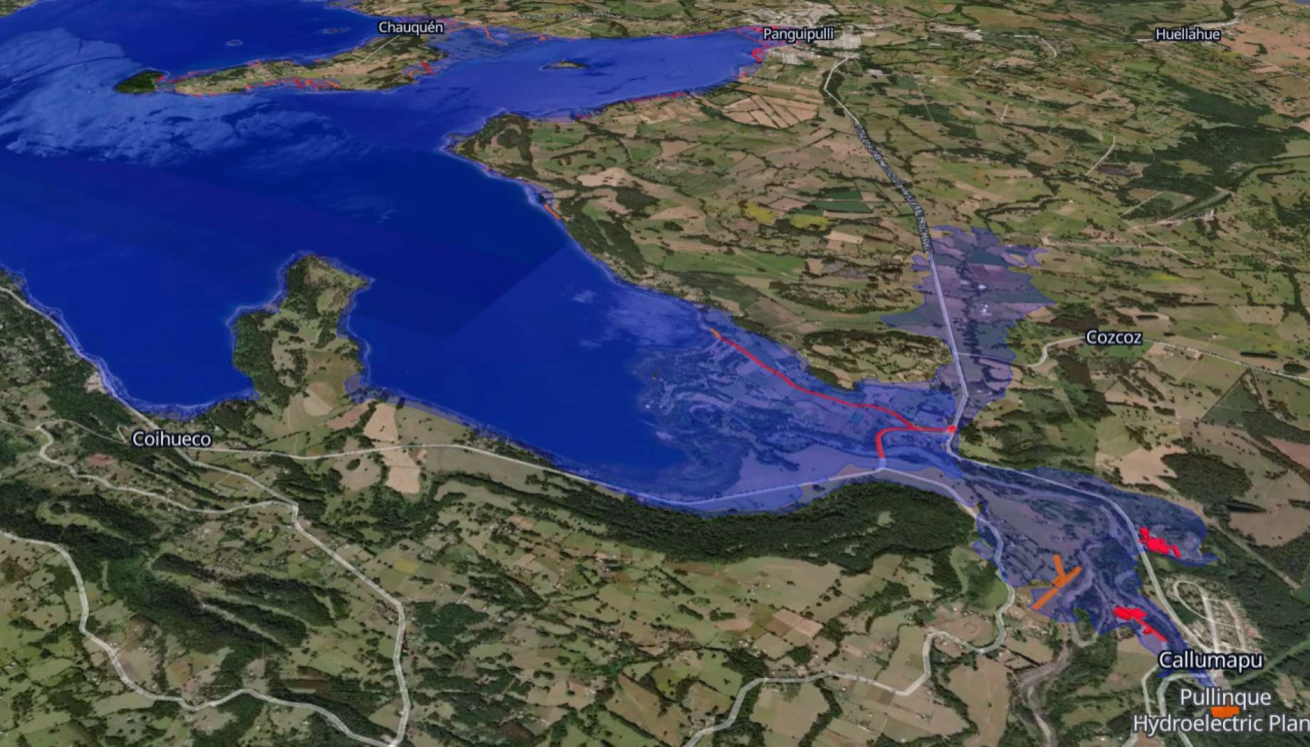
Flood risk and extent analysis
Map flood extent and assess risk zones with satellite data, protecting assets and supporting emergency response.
How EOS RayVision supports strategic flood risk assessment
Rapid flood mapping
Core benefit:
Delineate current flood extent, water depth estimates, and affected areas quickly during active events.
Asset risk assessment
Core benefit:
Identify buildings, infrastructure, cropland, and populations within flood zones for damage estimation.
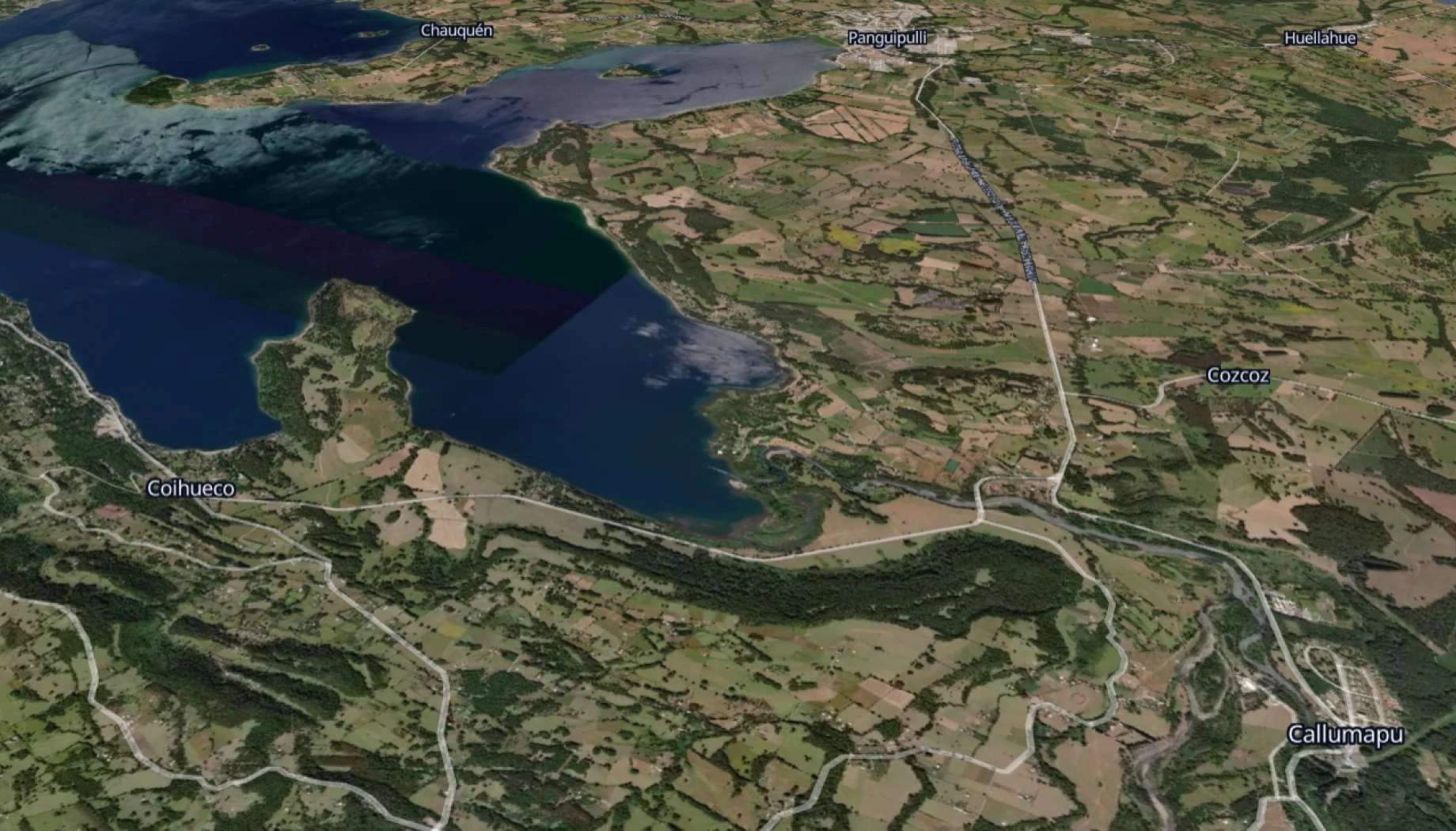
Historical flood analysis
Core benefit:
Study past flood events, recurrence patterns, and seasonal inundation for improved planning and modeling.
Emergency response support
Core benefit:
Provide rapid flood boundary maps to emergency teams for evacuation routing and resource deployment.
Outputs EOS RayVision delivers for your project
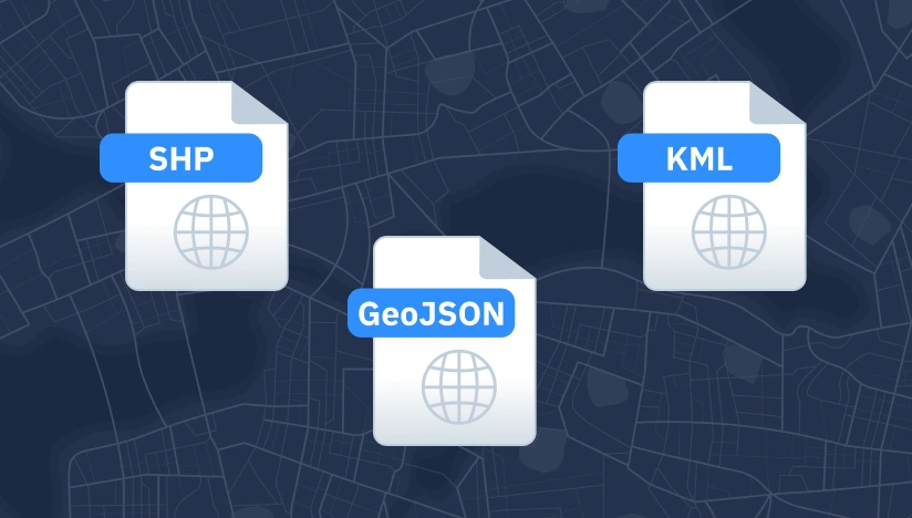
Original data layers
Details of that data format.
Decision-ready PDF report
Insights and clear conclusions, packaged for fast decisions and easy sharing.
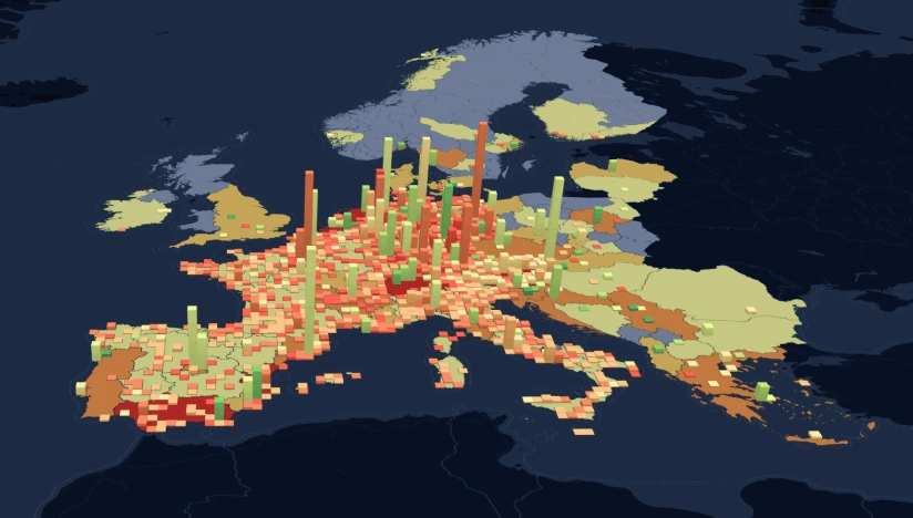
Interactive smart map
Cloud-based interactive smart maps with 3D visualization.
Typical project stages
Define AOI, requirements, and KPIs
Select optimal imagery (optical, SAR, hybrid)
Run baseline mapping and ML change detection
Validate, enrich, and prioritize insights
Deliver layers, report, and smart map on schedule
Why choose EOS RayVision for fllood risk analysis
Intelligence, not data
Decision-ready detections and evidence instead of raw layers.
Sensor-agnostic coverage
Optimal optical/SAR mix for clouds, and revisit constraints. EOSSAT-1 and 20+ constellations.
Global scale, fast rollout
Deploy across countries and portfolios with consistent methodology.
Flexible delivery and visualization
GIS layers, PDFs, and cloud-based Smart Maps with 3D visualization that fit your workflows and tools.
Reusable ML/AI library
Proven change, object, and anomaly models tuned per asset type.
Full-Cycle implementation, Science and GIS Teams
In-house science and GIS teams run the full workflow, ensuring reliable outputs and consistent results end to end.
FAQ
How quickly can you map an actively developing flood event?
Up to 24 hours after satellite pass, depending on tasking priority and processing queue.
How do you separate flood water from rivers?
EOS RayVision uses baseline water maps and elevation data to distinguish normal water from flood extent.
What about floods under tree canopy?
SAR can detect some under-canopy flooding, but dense vegetation limits detection. We flag uncertain areas.
Can you predict future flood risk or only map current events?
We map historical and current floods. Predictive modeling by EOS RayVision requires additional hydrological terrain data and model training and calibration for specific locations.