Deforestation detection
Monitor forest cover change early and at scale, with satellite-driven alerts that support compliance, risk control, and operational decisions.
Driving your business and strategic goals with EOS RayVision
Spot forest loss
Core benefit:
Detect new forest clearings and canopy loss early to act before impacts spread.
Track harvest widely
Core benefit:
Gain a full view of any harvesting activity across concessions and suppliers.
Stay compliant
Core benefit:
Strengthen EUDR and internal ESG compliance through ongoing forest-loss records.
Secure land use
Core benefit:
Reduce operational risks by spotting hotspots and leakage into restricted areas.
Deforestation detection data delivered in formats you need

Original data layers
Receive GEOJSON / KML / SHP datasets and upload them wherever you want.

Decision-ready PDF report
Actionable report summarizing key findings for rapid response and easy sharing.

Interactive smart map
Cloud-based interactive map with 3D view for clear visualization and spatial analysis.
Typical project stages
Defining AOI, requirements, and KPIs
Selecting optimal imagery (optical, SAR, or hybrid)
Running baseline mapping and ML change detection
Validating, enriching, and prioritizing insights
Delivering data layers, a report, and a smart map on schedule
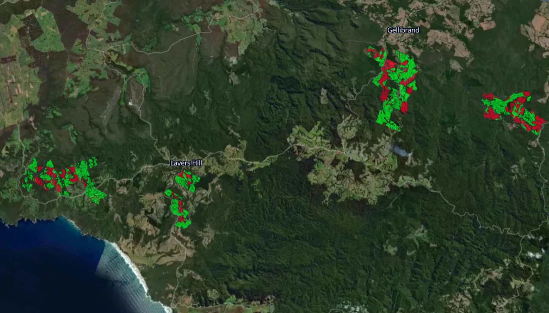
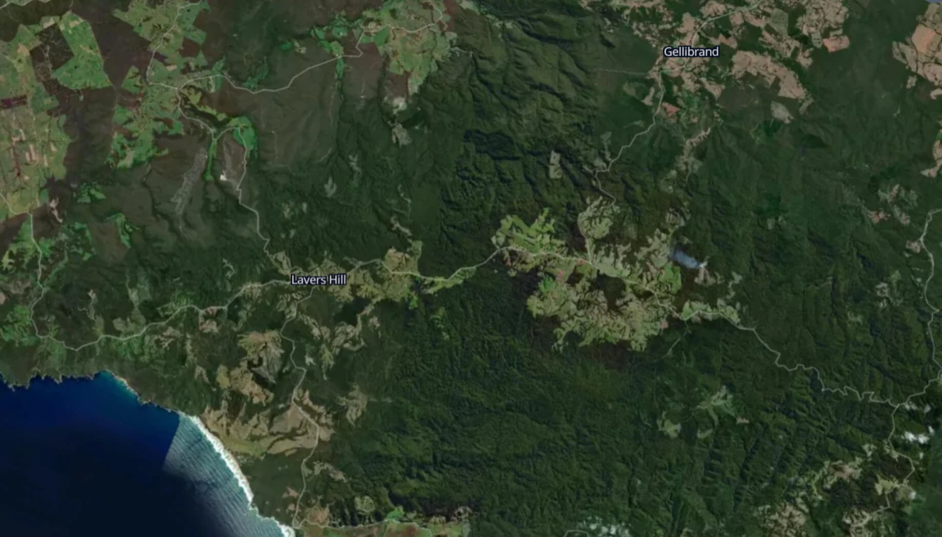
Featured case study

Deforestation detection in Tasmania
Why teams succeed with EOS RayVision
Intelligence, not raw data
Get ready-to-use insights, not just raw layers, to make decisions on the fly.
Multi-sensor monitoring
Never miss critical changes thanks to smart optical and SAR coverage of 20+ constellations.
Global scale, fast rollout
Deploy quickly across regions to standardize monitoring and save time.
Flexible delivery and visualization
Access data in the way that fits your workflow: GIS layers, PDF reports, or 3D interactive maps.
Reusable ML/AI models
Get consistent, accurate detection across assets through proven ML/AI models.
End-to-end expert implementation
In-house science and GIS teams handle the full process for reliable results every time.
FAQ
Can you distinguish harvesting from other forest loss drivers (e.g., fires, storms, or land clearing)?
Yes, in many cases. We combine time-series signatures, context layers, and event indicators to distinguish harvesting from fires, storms, or land clearing when imagery allows.
How fast can you detect changes in forest cover?
We detect forest-cover changes from near-real-time to planned update cycles, depending on AOI size, selected sensors, and cloud cover.
Does deforestation detection work in cloudy regions?
Yes, we use SAR imagery or hybrid acquisition to ensure consistent deforestation monitoring when clouds limit optical data.
What's the smallest clearing you can detect?
The minimum detectable clearing depends on image resolution and forest structure. We tailor imagery selection to your required minimum mapping unit and acceptable risk level.
How do you ensure the accuracy of deforestation detection?
We ensure accuracy through baseline calibration, automated QA rules, cross-sensor verification, and expert review for high-impact alerts.
Can your solution support reporting and audits?
Yes, we provide a clear evidence trail — where, when, and how much forest loss occurred — to support internal reporting and external audits.