Satellite imagery for modern mining operations
- monitor mining site progress and logistics from anywhere
- track tailings storage stability and prevent dam failures
- detect safety risks and unauthorized activity instantly
Access the world’s largest satellite data repository in one place
Multispectral imagery
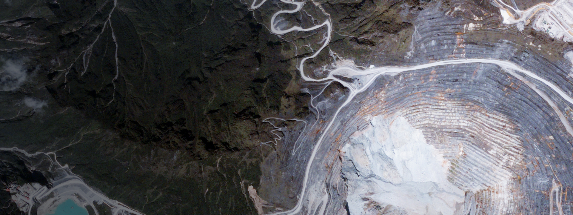
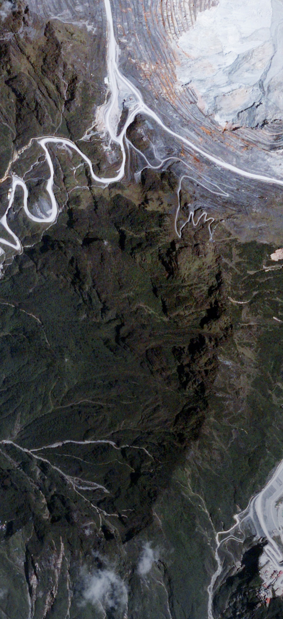
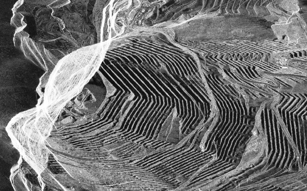
Track active extraction zones, waste rock dumps, and vegetation recovery with down to 30 cm space-derived images.
Hyperspectral imagery
Optimize ore processing and detect toxic seepage early by analyzing mineral composition across stockpiles and tailings.
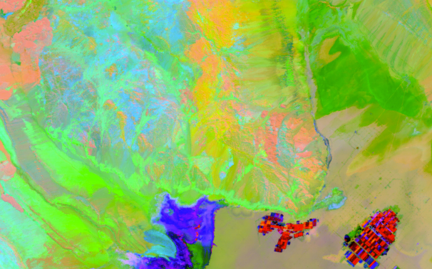
SAR imagery
Monitor ground deformation, tailings dam movement, and infrastructure stability day and night, through clouds and smoke.


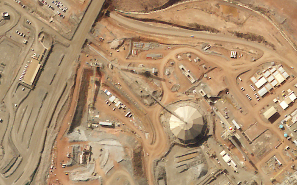
End-to-end satellite data for mining projects
Monitor mining operations from anywhere
Track open-pit evolution, stockpile volumes, and haul road development remotely with high-frequency imaging.
Prevent tailings dam failures
Pinpoint subtle structural shifts or surface deformations around dams to prevent failures and secure licenses.
Secure mine-to-port logistics
Observe pipelines, rail networks, and ports to detect ground displacement, structural stress, or leaks early.
Detect illegal mining activity
Secure remote sites by detecting unauthorized digging, clearing, encroachment, and other third-party activity.
Ensure 100% regulatory compliance
Verify permitted boundaries and generate data-backed ESG reports to avoid costly regulatory risks.
Prove your restoration success
Monitor rehabilitation milestones to meet site-closure requirements and demonstrate eco stewardship.
Multi-sensor mining asset tracking in Chile
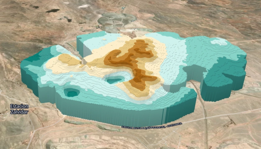
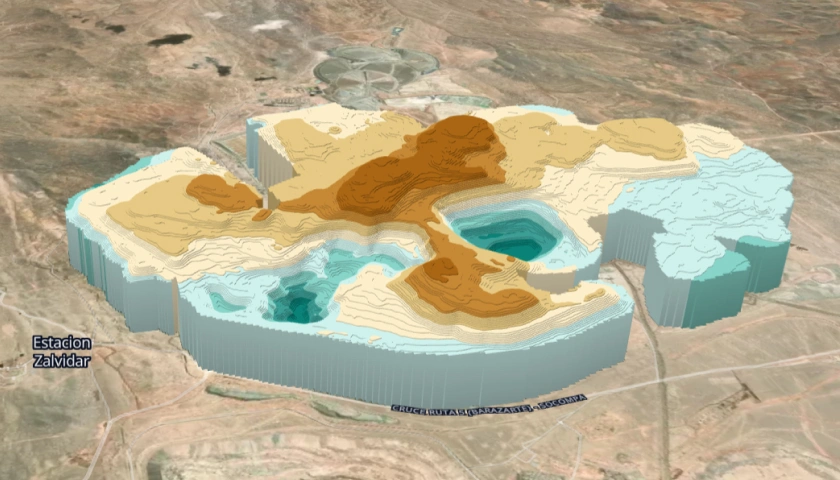
We combined sub-meter optical images, all-weather SAR, and time-series DEMs to build an automated digital twin for a 500-km copper production chain in Chile. This allowed us to spot early-stage tailings dam micro-cracks, monitor pipeline integrity, and catch high-risk infrastructure blind spots.
Why leading mining teams partner with us
All-in-one data access
Access optical, SAR, and hyperspectral data within a single platform to centralize your site intelligence.
Historical and new captures
Use deep archives to audit years of site evolution or request new, high-revisit imaging for your active projects.
No GIS expertise required
Skip the technical hurdles. Get clear satellite imagery for instant, data-backed mining decisions.
Flexible deliverables
Get insights your way: boardroom-ready PDF reports, interactive maps for teams, or raw datasets for GIS experts.