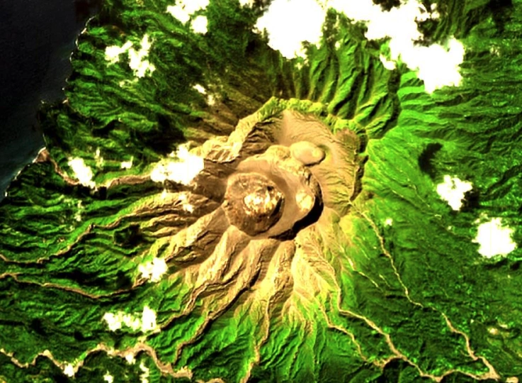
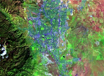
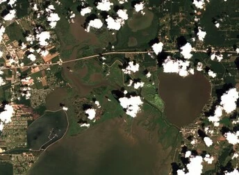
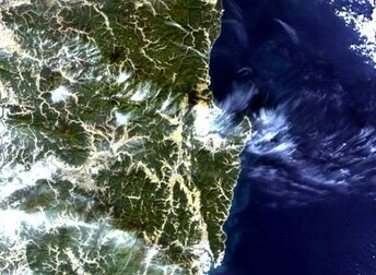
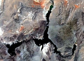
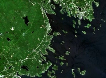
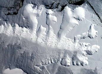
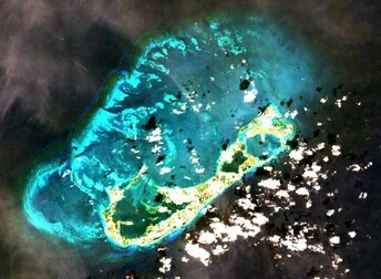
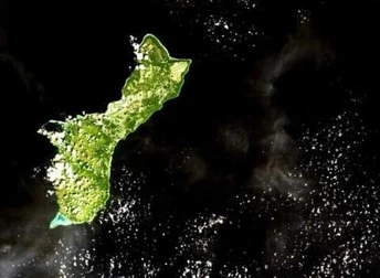
HomeGallery Satellite Image Of St Vincent Volcano Location Satellite Image Of St Vincent Volcano Coordinates 13.33588°N 61.16527°W Satellite Landsat 8 Tags 30 M High-resolution Satellite Imagery Search Download IMAGE Related Images High-resolution Satellite Imagery Search Satellite Image Of Colorado 38.82874°N 104.73198°W Landsat 8 18.04.2024 Medium-resolution Images Satellite Image Of Cloud Over India From Landsat 8 18.40535°N 78.79944°E Landsat 8 18.04.2024 Medium-resolution Images Satellite Image Of Korean Peninsula From Landsat 8 36.02800°N 129.20197°E Landsat 8 18.04.2024 Medium-resolution Images Satellite Image Of Lake Mead, USA From Landsat 8 36.17557°N 114.41986°W Landsat 8 18.04.2024 Medium-resolution Images Satellite Image Of Oak island, Canada From Landsat 8 44.51316°N 64.29577°W Landsat 8 18.04.2024 Medium-resolution Images Satellite Image Of Arctic Ice Cover From Landsat 8 72.19189°S 97.94312°W Landsat 8 18.04.2024 Medium-resolution Images Satellite Image Of Bermuda From Landsat 8 32.30280°N 64.75685°W Landsat 8 18.04.2024 Medium-resolution Images Satellite Image Of Guam For Various Industries 13.42970°N 144.75311°E Landsat 8 18.04.2024 Medium-resolution Images Satellite Image Of Madagascar From Landsat 8 16.02338°S 46.27991°E Landsat 8 18.04.2024 load more