
GWF 2026: Moving toward decision-ready intelligence
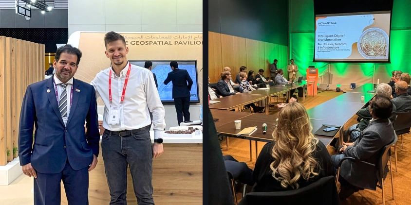
The EOSDA team joined industry leaders in Amsterdam for the Geospatial World Forum (GWF) on 27 April–1 May 2026. This is one of the most important annual gatherings for the global geospatial community. The main theme of this year’s event was how space technology can help build a more resilient economy and society.
For our team, the forum was a wonderful chance to see where the market is moving. We’ve engaged in practical discussions on closing the gap between complex Earth Observation data and real-world decision-making. Below, we share the themes that stood out most across the sessions and conversations at GWF 2026 and what they mean for the geospatial industry.
Geospatial intelligence is being embedded in decision-making
The Defence & Intelligence Summit was one of the prominent blocks at the Geospatial World Forum 2026. Its theme — “The Future of Defence: Intelligence-Driven, Tech-Powered, and Geopolitically Aware” — reflected where defence and intelligence communities are heading. The agenda focused on real-time situational awareness, sovereign Earth observation (EO) and global navigation satellite systems (GNSS), and GEOINT’s role in multi-domain operations — from land and sea to space and cyber domains.
The key takeaway from our team’s perspective is that the focus is moving away from simply collecting raw satellite data. It is already widely accessible, unlike the decision-ready insights that clients really need. Thus, instead of serving as just an additional layer, geospatial intelligence is being embedded in operational infrastructure to help track changes, assess risks, and map dependencies across space and time.
Geospatial intelligence is now the backbone of operations for many industries. However, organizations are increasingly frustrated by disconnected data streams that produce only а limited scope of functionality. They need a practical environment that enables multi-sensor satellite data fusion, augmented by additional sources such as OSINT, SIGINT etc., while leveraging generative AI capabilities to provide semi-automated or fully automated intelligence with forecasting capabilities to help them make quicker data-driven decisions — and that is exactly what EOSDA builds.
Partnerships are becoming central to the geospatial economy
Space2Earth seminar at GWF 2026 touched on how the geospatial market is being organized. The common thread was that the industry is outgrowing the solo player model. During the Space2Earth sessions, the talk wasn’t just about satellites but about how different platforms like EO and GNSS actually work together. The consensus is that for space infrastructure to work as a service, we need better data-sharing rules and cross-border coordination.
Today, the real value of Earth Observation is no longer just in access to satellite imagery. It is in transforming raw data into actionable intelligence. Strong partnerships between satellite operators, data providers, and analytics companies like EOS Data Analytics create a critical last mile analytics layer, delivering meaningful insights that support faster, smarter, and more informed decision-making for end users across defence, infrastructure, and strategic industries.
The market is moving toward ecosystems where data providers, cloud platforms, and local agencies act as one. We see this in fields like logistics and insurance, where a single product typically isn’t enough. A mix of global data and local context is needed to deliver results.
Businesses aren’t looking for innovation for the sake of innovation; they want tools that help them monitor assets and manage risks. Partnerships are how we get there. When we combine deep satellite analytics with what our partners have already built, we compress timelines and eliminate redundancy. The result is capabilities our clients can act on, not capabilities they have to wait for.
The market expects AI to provide clear and measurable value
Several sessions at GWF 2026 converged on this same idea from different angles. The Business Intelligence Seminar looked at how geospatial and satellite data feed into strategic decisions and where AI and GIS integration actually produce actionable results. The AEC (Architecture, Engineering, and Construction) Summit focused on infrastructure: digital twins, predictive analytics, and how integrated geospatial data supports planning, risk management, and long-term resilience.
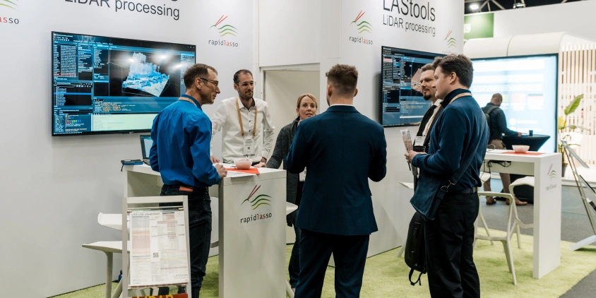
The LiDAR & Scanning track added another layer — mapping, intelligent data fusion, and applications across mining, flood modeling, energy, and disaster management. A speaker from Mae Moh Mine Survey Section in Thailand brought a grounded example of how these tools work at an operational level.
In mining and oil and gas industries, practical value is the only thing that matters. Clients need to stay ahead of operational risks across large and remote sites. By integrating our AI expertise into the broader geospatial ecosystem, we provide them with a shortcut from data to action.
What tied these conversations together: industrial sectors are not interested in AI as a concept. The last mile of geospatial intelligence is the most important. It doesn’t matter how advanced the AI is if it doesn’t help a mining surveyor or a site manager act faster and smarter. This year’s forum confirmed that the most successful solutions are those that solve a specific problem — like tracking a project’s progress or assessing a site’s hazard model — without the user needing to be a data scientist.
Clients prioritize practical insights over raw imagery
A recurring topic at GWF 2026 was the gap between satellite data and the people acting on it. Space2Earth sessions pointed to cloud platforms and intuitive tools as the main way to close that gap. The GeoAI track covered how machine learning is making change detection and mapping more automated. However, it also flagged that end users often struggle with insufficient data quality and transparency.
LandViewer addresses this by offering a satellite platform built with a wide audience in mind. Users come to the platform to find imagery, compare what an area looked like at different points in time, and understand what has changed. Some of them are not GIS specialists — they just need clear answers about a specific location.
Discussions at GWF 2026 highlighted a rising demand for multi-sensor data. SAR, for example, ensures monitoring even through cloud cover — critical for tropical or mountain areas. So, platforms like LandViewer, which combine diverse data sources and analytical layers enabling users to select the best tools for their scenarios, are becoming the industry standard.
Users don’t just want a gallery of images; they want to see what is actually happening in their area of interest. GWF 2026 reinforced that our focus on practical tools, like change detection and index analysis, is exactly what the market needs right now. We take away the complexity so our clients can focus on the insights.
GWF 2026 Summary: The Shift Toward Decision-Readiness
GWF 2026 confirmed that the geospatial industry is entering a new phase where data is only as good as the decisions it enables. The focus has moved beyond the technical challenge of acquiring pixels to the practical necessity of making those pixels easy to understand and act on for every user.
EOSDA will continue to evolve its ecosystem to reflect this shift toward simplicity and transparency. By fusing AI-driven mapping with a self-service approach, we ensure that satellite intelligence becomes available to more decision makers.


